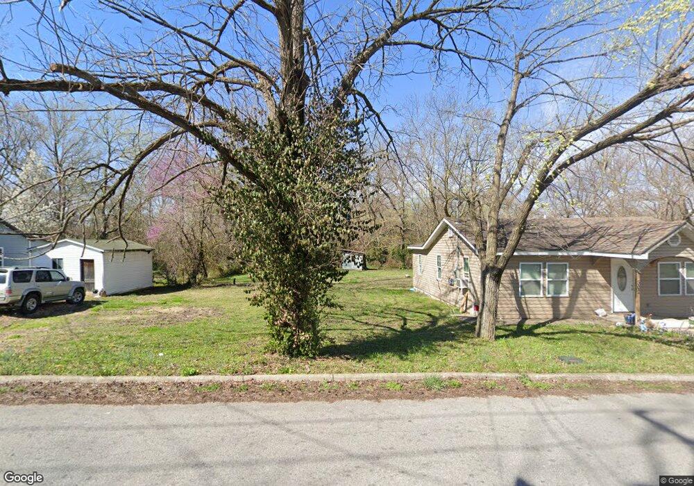
302 Lt Goins Ave Green Forest, AR 72638
Estimated Value: $75,945 - $168,000
--
Bed
1
Bath
1,284
Sq Ft
$101/Sq Ft
Est. Value
About This Home
This home is located at 302 Lt Goins Ave, Green Forest, AR 72638 and is currently estimated at $129,236, approximately $100 per square foot. 302 Lt Goins Ave is a home located in Carroll County with nearby schools including Green Forest Elementary School, Green Forest Intermed School, and Green Forest High School.
Ownership History
Date
Name
Owned For
Owner Type
Purchase Details
Closed on
Dec 16, 2024
Sold by
Benda Sharron
Bought by
Thompson Donald E
Current Estimated Value
Purchase Details
Closed on
Dec 18, 2020
Sold by
Newman Derick and The Roy Eugene Newman Living T
Bought by
Vasquez Fernando A and Pena Leticia Garduno
Purchase Details
Closed on
Jun 1, 2012
Sold by
Thompson Valerie
Bought by
Thompson Don
Purchase Details
Closed on
Mar 11, 1998
Sold by
Martin
Bought by
Thompson
Purchase Details
Closed on
Dec 16, 1997
Sold by
Maybee
Bought by
Martin
Purchase Details
Closed on
Apr 10, 1980
Bought by
From Dennis Maybee
Create a Home Valuation Report for This Property
The Home Valuation Report is an in-depth analysis detailing your home's value as well as a comparison with similar homes in the area
Home Values in the Area
Average Home Value in this Area
Purchase History
| Date | Buyer | Sale Price | Title Company |
|---|---|---|---|
| Thompson Donald E | -- | None Listed On Document | |
| Thompson Donald E | -- | None Listed On Document | |
| Vasquez Fernando A | $40,000 | Titlenet Solutions Llc | |
| Thompson Don | -- | Kings River Title | |
| Thompson | $23,000 | -- | |
| Martin | $14,000 | -- | |
| From Dennis Maybee | -- | -- |
Source: Public Records
Tax History Compared to Growth
Tax History
| Year | Tax Paid | Tax Assessment Tax Assessment Total Assessment is a certain percentage of the fair market value that is determined by local assessors to be the total taxable value of land and additions on the property. | Land | Improvement |
|---|---|---|---|---|
| 2024 | $295 | $12,540 | $2,200 | $10,340 |
| 2023 | $0 | $9,100 | $2,200 | $6,900 |
| 2022 | $295 | $9,100 | $2,200 | $6,900 |
| 2021 | $295 | $6,080 | $1,760 | $4,320 |
| 2020 | $295 | $6,080 | $1,760 | $4,320 |
| 2019 | $254 | $4,860 | $1,760 | $3,100 |
| 2018 | $103 | $1,760 | $1,760 | $0 |
| 2017 | $103 | $1,760 | $1,760 | $0 |
| 2016 | $85 | $1,760 | $1,760 | $0 |
| 2014 | -- | $1,760 | $1,760 | $0 |
Source: Public Records
Map
Nearby Homes
- 16078 (100 AC) Arkansas 311
- 14889 Arkansas 311
- 608 Apple St
- 604 Rainbow Place
- 709 Carroll Ave
- Lot 4 Cr-906
- 504 W 6th St
- 825-00623-021 (to be Forest Ave
- 906 Enterprise Ave
- 909 Enterprise Ave
- 144-00009-001 Cr 993
- TBD Cr 993
- 201 County Road 632
- TBD Lot 8 Red Bud St
- TBD Lot 7 Red Bud St
- TBD Lot 6 Red Bud St
- TBD Lot 5 Red Bud St
- TBD Lot 3 Red Bud St
- TBD Lot 3,5,6,7 & 8 Red Bud St
- 41 County Road 617