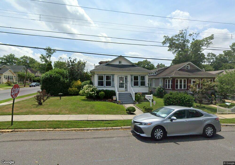
302 Maple Ave Audubon, NJ 08106
Estimated Value: $326,000 - $371,000
Studio
--
Bath
1,081
Sq Ft
$323/Sq Ft
Est. Value
About This Home
This home is located at 302 Maple Ave, Audubon, NJ 08106 and is currently estimated at $349,701, approximately $323 per square foot. 302 Maple Ave is a home located in Camden County with nearby schools including Haviland Avenue School, Mansion Avenue School, and Audubon Junior/Senior High School.
Ownership History
Date
Name
Owned For
Owner Type
Purchase Details
Closed on
Dec 22, 2005
Sold by
Craig Joseph A
Bought by
Cilea Patricia A and Grier Kathleen M
Current Estimated Value
Home Financials for this Owner
Home Financials are based on the most recent Mortgage that was taken out on this home.
Original Mortgage
$198,000
Outstanding Balance
$110,914
Interest Rate
6.31%
Estimated Equity
$238,787
Purchase Details
Closed on
Dec 12, 1994
Sold by
Zioance Mary K
Bought by
Craig Joseph A and Craig Renee S
Home Financials for this Owner
Home Financials are based on the most recent Mortgage that was taken out on this home.
Original Mortgage
$83,000
Interest Rate
9.03%
Create a Home Valuation Report for This Property
The Home Valuation Report is an in-depth analysis detailing your home's value as well as a comparison with similar homes in the area
Home Values in the Area
Average Home Value in this Area
Purchase History
| Date | Buyer | Sale Price | Title Company |
|---|---|---|---|
| Cilea Patricia A | $247,500 | -- | |
| Craig Joseph A | $86,900 | -- |
Source: Public Records
Mortgage History
| Date | Status | Borrower | Loan Amount |
|---|---|---|---|
| Open | Cilea Patricia A | $198,000 | |
| Previous Owner | Craig Joseph A | $83,000 |
Source: Public Records
Tax History
| Year | Tax Paid | Tax Assessment Tax Assessment Total Assessment is a certain percentage of the fair market value that is determined by local assessors to be the total taxable value of land and additions on the property. | Land | Improvement |
|---|---|---|---|---|
| 2025 | $7,723 | $191,300 | $79,800 | $111,500 |
| 2024 | $7,466 | $191,300 | $79,800 | $111,500 |
| 2023 | $7,466 | $191,300 | $79,800 | $111,500 |
| 2022 | $7,267 | $191,300 | $79,800 | $111,500 |
| 2021 | $6,554 | $191,300 | $79,800 | $111,500 |
| 2020 | $6,898 | $191,300 | $79,800 | $111,500 |
| 2019 | $6,806 | $191,300 | $79,800 | $111,500 |
| 2018 | $6,722 | $191,300 | $79,800 | $111,500 |
| 2017 | $6,583 | $191,300 | $79,800 | $111,500 |
| 2016 | $6,410 | $191,300 | $79,800 | $111,500 |
| 2015 | $6,202 | $191,300 | $79,800 | $111,500 |
| 2014 | $6,143 | $191,300 | $79,800 | $111,500 |
Source: Public Records
Map
Nearby Homes
- 63 Central Ave
- 120 Cedarcroft Ave
- 50 Beloit Ave
- 231 Virginia Ave
- 153 Oakland Ave
- 2 Creston Ave
- 112 W Merchant St
- 312 W Pine St
- 29 Payson Ave
- 232 Edgewood Ave
- 432 W Pine St
- 553 Maple Ave
- 218 Walnut St
- 100 Chestnut St
- 229 S Lecato Ave
- 11 W Cedar Ave
- 902 Maple Ave
- 539 W Kings Hwy
- 102 Cherry St
- 12 S Haviland Ave
- 306 Maple Ave
- 154 Wyoming Ave
- 310 Maple Ave
- 145 Wyoming Ave
- 149 Wyoming Ave
- 142 Wyoming Ave
- 314 Maple Ave
- 153 Wyoming Ave
- 138 Wyoming Ave
- 141 Wyoming Ave
- 157 Wyoming Ave
- 318 Maple Ave
- 272 Maple Ave
- 309 Maple Ave
- 161 Wyoming Ave
- 137 Wyoming Ave
- 164 Wyoming Ave
- 313 W Graisbury Ave
- 134 Wyoming Ave
- 315 Maple Ave
Your Personal Tour Guide
Ask me questions while you tour the home.