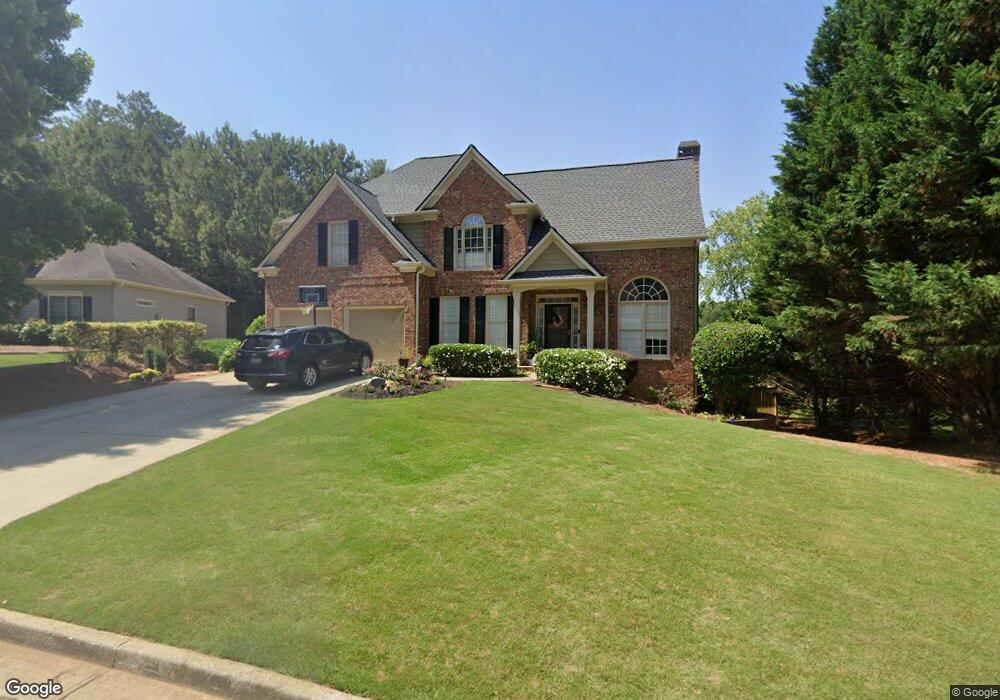
302 Maple Grove Ct Unit 2J Canton, GA 30114
Sutallee NeighborhoodEstimated Value: $541,000 - $622,281
4
Beds
4
Baths
3,198
Sq Ft
$182/Sq Ft
Est. Value
About This Home
This home is located at 302 Maple Grove Ct Unit 2J, Canton, GA 30114 and is currently estimated at $581,641, approximately $181 per square foot. 302 Maple Grove Ct Unit 2J is a home located in Cherokee County with nearby schools including Sixes Elementary School, Freedom Middle School, and Woodstock High School.
Ownership History
Date
Name
Owned For
Owner Type
Purchase Details
Closed on
Mar 28, 2005
Sold by
Cano Pilar A
Bought by
Groulx Terry and Groulx Natasha
Current Estimated Value
Home Financials for this Owner
Home Financials are based on the most recent Mortgage that was taken out on this home.
Original Mortgage
$25,000
Interest Rate
5.19%
Mortgage Type
Unknown
Purchase Details
Closed on
Oct 9, 2002
Sold by
Ogilvie Custom Hm Builders Inc
Bought by
Cano Pilar A
Home Financials for this Owner
Home Financials are based on the most recent Mortgage that was taken out on this home.
Original Mortgage
$217,550
Interest Rate
6.21%
Mortgage Type
New Conventional
Create a Home Valuation Report for This Property
The Home Valuation Report is an in-depth analysis detailing your home's value as well as a comparison with similar homes in the area
Home Values in the Area
Average Home Value in this Area
Purchase History
| Date | Buyer | Sale Price | Title Company |
|---|---|---|---|
| Groulx Terry | $239,900 | -- | |
| Cano Pilar A | $229,000 | -- |
Source: Public Records
Mortgage History
| Date | Status | Borrower | Loan Amount |
|---|---|---|---|
| Closed | Groulx Terry | $25,000 | |
| Open | Groulx Terry | $184,900 | |
| Previous Owner | Cano Pilar A | $217,550 |
Source: Public Records
Tax History Compared to Growth
Tax History
| Year | Tax Paid | Tax Assessment Tax Assessment Total Assessment is a certain percentage of the fair market value that is determined by local assessors to be the total taxable value of land and additions on the property. | Land | Improvement |
|---|---|---|---|---|
| 2025 | $5,251 | $228,156 | $41,600 | $186,556 |
| 2024 | $5,050 | $215,280 | $38,000 | $177,280 |
| 2023 | $5,001 | $210,080 | $38,000 | $172,080 |
| 2022 | $3,758 | $155,080 | $35,200 | $119,880 |
| 2021 | $3,472 | $129,320 | $25,600 | $103,720 |
| 2020 | $3,155 | $115,520 | $25,600 | $89,920 |
| 2019 | $3,027 | $110,000 | $25,600 | $84,400 |
| 2018 | $2,827 | $101,160 | $24,000 | $77,160 |
| 2017 | $2,773 | $246,300 | $20,400 | $78,120 |
| 2016 | $2,661 | $234,300 | $20,400 | $73,320 |
| 2015 | $2,542 | $221,900 | $18,000 | $70,760 |
| 2014 | $2,472 | $215,500 | $18,000 | $68,200 |
Source: Public Records
Map
Nearby Homes
- 130 Windsong Trail
- 204 Wildwood Way
- 515 Hickory Hills Place
- 331 Laurel Glen Crossing
- 211 Parc Dr
- 1000 Delta Dr
- 1000 Delta Dr Unit A4-20
- 3021 Heatherbrook Trace
- 3018 Heatherbrook Trace
- 238 Parc Dr
- 3008 Heatherbrook Trace Unit 2B
- 552 Steels Bridge Rd
- 109 Hale View Cir
- 627 Apache Trail
- 265 Parc Dr
- 160 Henley St Unit 15
- 160 Henley St
- 164 Henley St
- 0 Maple Grove Ct Unit 8154250
- 304 Maple Grove Ct
- 213 Briarwood Ln
- 215 Briarwood Ln
- 306 Maple Grove Ct Unit 2J
- 0 Briarwood Ln Unit 7483614
- 0 Briarwood Ln Unit 7461752
- 0 Briarwood Ln Unit 7196077
- 0 Briarwood Ln Unit 8810327
- 0 Briarwood Ln Unit 8511089
- 0 Briarwood Ln Unit 7478679
- 303 Maple Grove Ct
- 205 Briarwood Ln Unit 205
- 205 Briarwood Ln Unit 2J
- 205 Briarwood Ln
- 217 Briarwood Ln
- 305 Maple Grove Ct Unit 2J
- 308 Maple Grove Ct
- 210 Briarwood Ln Unit 2J
- 208 Briarwood Ln Unit 2J