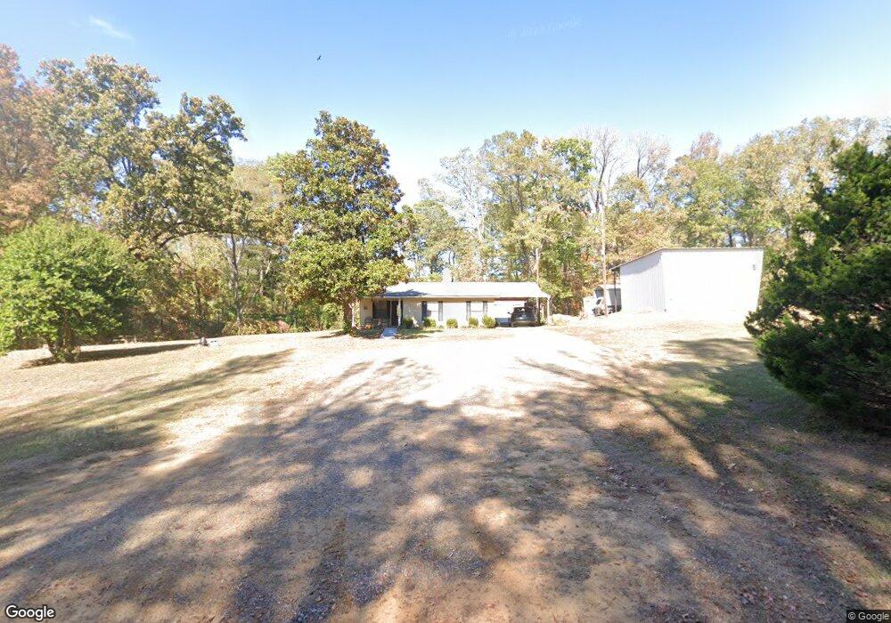
302 Matt Hammonds Rd Calhoun, LA 71225
Estimated Value: $83,406 - $256,000
1
Bed
2
Baths
864
Sq Ft
$208/Sq Ft
Est. Value
About This Home
This home is located at 302 Matt Hammonds Rd, Calhoun, LA 71225 and is currently estimated at $179,602, approximately $207 per square foot. 302 Matt Hammonds Rd is a home located in Ouachita Parish with nearby schools including Calhoun Elementary School, Central Elementary School, and Calhoun Middle School.
Ownership History
Date
Name
Owned For
Owner Type
Purchase Details
Closed on
Jul 31, 2014
Sold by
Powell Donna Brown
Bought by
Shackelford Christopher Ray and Shackelford Meissa Roberts
Current Estimated Value
Purchase Details
Closed on
Sep 18, 2006
Sold by
Kirkland Edwin Brown and Parham Linda Brown
Bought by
Parham Linda and Parham William
Create a Home Valuation Report for This Property
The Home Valuation Report is an in-depth analysis detailing your home's value as well as a comparison with similar homes in the area
Purchase History
| Date | Buyer | Sale Price | Title Company |
|---|---|---|---|
| Shackelford Christopher Ray | $5,000 | Multiple | |
| Parham Linda | -- | None Available |
Source: Public Records
Tax History
| Year | Tax Paid | Tax Assessment Tax Assessment Total Assessment is a certain percentage of the fair market value that is determined by local assessors to be the total taxable value of land and additions on the property. | Land | Improvement |
|---|---|---|---|---|
| 2025 | -- | $3,644 | $344 | $3,300 |
| 2024 | -- | $3,644 | $344 | $3,300 |
| 2023 | $327 | $3,644 | $344 | $3,300 |
| 2022 | $323 | $3,644 | $344 | $3,300 |
| 2021 | $327 | $3,644 | $344 | $3,300 |
| 2020 | $327 | $3,644 | $344 | $3,300 |
| 2019 | $326 | $3,644 | $344 | $3,300 |
| 2018 | $0 | $3,644 | $344 | $3,300 |
| 2017 | $326 | $3,644 | $344 | $3,300 |
| 2016 | $326 | $3,644 | $344 | $3,300 |
| 2015 | -- | $3,644 | $344 | $3,300 |
| 2014 | -- | $3,644 | $344 | $3,300 |
| 2013 | -- | $3,644 | $344 | $3,300 |
Source: Public Records
Map
Nearby Homes
- 3235 Highway 15
- 159 Chapel Ln
- 606 Hodge Watson Rd
- 000 J T Griggs Rd Unit 454 J T Griggs Road
- 370 J T Griggs Rd
- 00 J T Griggs Rd Unit 454 J T Griggs Road
- 454 J T Griggs Rd
- 0 J T Griggs Rd Unit 454 J T Griggs Road
- 171 Chimney Hill Rd
- 000 Strozier Rd
- 257 Sugarloaf Dr
- 205 Chapel Hill Place
- 108 Comanche Trail
- 121 Comanche Trail
- 141 Comanche Trail
- 110 Fox Run Unit 110 Fox run
- 144 Patricks Cove
- 107 Bonnabel Place
- 1119 Comanche Trail
- 0 Laguna Villas Dr
- 272 Matt Hammonds Rd
- 136 Alvis Shelby Rd
- 344 Matt Hammonds Rd
- 168 Alvis Shelby Rd
- 247 Matt Hammonds Rd
- 132 Register Rd
- 171 Alvis Shelby Rd
- 133 Rolling Hills Rd
- 275 Matt Hammonds Rd
- 160 Register Rd
- 172 Register Rd
- 2615 Highway 15
- 155 Register Rd
- 429 Matt Hammonds Rd
- 207 Register Rd
- 00 Register Rd
- 161 Matt Hammonds Rd
- 175 Rolling Hills Rd
- 186 Register Rd
- 2649 Highway 15