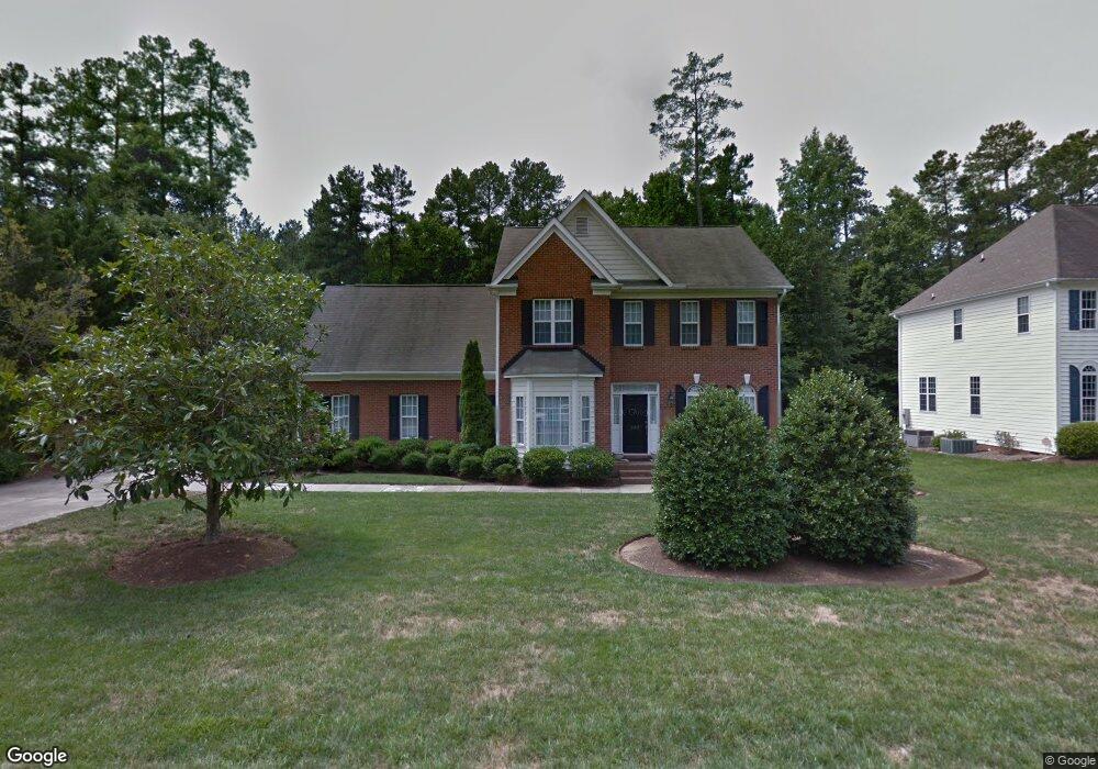
302 Mckinley St Durham, NC 27705
Estimated Value: $613,069 - $671,000
5
Beds
4
Baths
2,676
Sq Ft
$239/Sq Ft
Est. Value
About This Home
This home is located at 302 Mckinley St, Durham, NC 27705 and is currently estimated at $639,767, approximately $239 per square foot. 302 Mckinley St is a home located in Durham County with nearby schools including Morehead Montessori, Brogden Middle, and Riverside High School.
Ownership History
Date
Name
Owned For
Owner Type
Purchase Details
Closed on
May 5, 2019
Sold by
Rikard Michael Robert and Rikard Amber
Bought by
Zakroysky Pearl and Rowe Jeremy
Current Estimated Value
Home Financials for this Owner
Home Financials are based on the most recent Mortgage that was taken out on this home.
Original Mortgage
$339,403
Outstanding Balance
$297,186
Interest Rate
4%
Mortgage Type
New Conventional
Estimated Equity
$342,581
Purchase Details
Closed on
Apr 16, 1999
Sold by
The New Fortis Corp
Bought by
Rikard Robert L and Rikard Marilyn D
Home Financials for this Owner
Home Financials are based on the most recent Mortgage that was taken out on this home.
Original Mortgage
$110,000
Interest Rate
7.06%
Create a Home Valuation Report for This Property
The Home Valuation Report is an in-depth analysis detailing your home's value as well as a comparison with similar homes in the area
Home Values in the Area
Average Home Value in this Area
Purchase History
| Date | Buyer | Sale Price | Title Company |
|---|---|---|---|
| Zakroysky Pearl | $350,000 | None Available | |
| Rikard Robert L | $246,000 | -- |
Source: Public Records
Mortgage History
| Date | Status | Borrower | Loan Amount |
|---|---|---|---|
| Open | Zakroysky Pearl | $339,403 | |
| Previous Owner | Rikard Robert L | $110,000 |
Source: Public Records
Tax History Compared to Growth
Tax History
| Year | Tax Paid | Tax Assessment Tax Assessment Total Assessment is a certain percentage of the fair market value that is determined by local assessors to be the total taxable value of land and additions on the property. | Land | Improvement |
|---|---|---|---|---|
| 2025 | $4,923 | $640,198 | $142,800 | $497,398 |
| 2024 | $4,923 | $352,907 | $63,045 | $289,862 |
| 2023 | $4,623 | $352,907 | $63,045 | $289,862 |
| 2022 | $4,517 | $352,907 | $63,045 | $289,862 |
| 2021 | $4,496 | $352,907 | $63,045 | $289,862 |
| 2020 | $4,390 | $352,907 | $63,045 | $289,862 |
| 2019 | $4,270 | $343,239 | $63,045 | $280,194 |
| 2018 | $3,866 | $285,004 | $63,045 | $221,959 |
| 2017 | $3,838 | $312,294 | $63,045 | $249,249 |
| 2016 | $4,063 | $312,294 | $63,045 | $249,249 |
| 2015 | $3,610 | $260,785 | $62,268 | $198,517 |
| 2014 | -- | $260,785 | $62,268 | $198,517 |
Source: Public Records
Map
Nearby Homes
- 123 Forest Oaks Dr
- 82 Forest Oaks Dr
- 37 Georgetown Ct
- 210 Silas St
- 28 Prestwick Place
- 4002 Westfield Dr
- 13 Providence Ct
- 15 Quintin Place
- 4229 American Dr Unit F
- 24 Sunrise Place
- 416 Morreene Rd
- 10 St Elias Dr
- 112 Salmon River Dr
- 4316 American Dr
- 220 Mount Evans Dr
- 300 Vincent Ave
- 404 Andrews Rd
- 1229 Opal Ln Unit 84
- 929 Morreene Rd Unit A23
- 929 Morreene Rd Unit D34
- 210 Mckinley St
- 306 Mckinley St
- 4115 Kismet Dr
- 102 Arthur Ln
- 310 Mckinley St
- 206 Mckinley St
- 307 Mckinley St
- 4126 Westfield Dr
- 4122 Westfield Dr
- 103 Arthur Ln
- 4128 Westfield Dr
- 313 Mckinley St
- 314 Mckinley St
- 4118 Westfield Dr
- 106 Arthur Ln
- 4114 Westfield Dr
- 4111 Kismet Dr
- 2 Vinson Place
- 4132 Westfield Dr
- 105 Sturdivant Rd