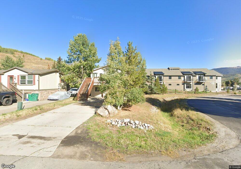
302 Miners Loop Silverthorne, CO 80498
Estimated Value: $710,669 - $1,235,000
3
Beds
2
Baths
816
Sq Ft
$1,106/Sq Ft
Est. Value
About This Home
This home is located at 302 Miners Loop, Silverthorne, CO 80498 and is currently estimated at $902,667, approximately $1,106 per square foot. 302 Miners Loop is a home with nearby schools including Silverthorne Elementary School, Summit Middle School, and Summit High School.
Ownership History
Date
Name
Owned For
Owner Type
Purchase Details
Closed on
Feb 22, 2024
Sold by
Forbes Colin D
Bought by
Cole And Nicole Forbes Trust
Current Estimated Value
Purchase Details
Closed on
Feb 25, 2005
Sold by
Fannie Mae
Bought by
Forbes Cole D
Home Financials for this Owner
Home Financials are based on the most recent Mortgage that was taken out on this home.
Original Mortgage
$195,000
Interest Rate
4.87%
Mortgage Type
New Conventional
Create a Home Valuation Report for This Property
The Home Valuation Report is an in-depth analysis detailing your home's value as well as a comparison with similar homes in the area
Home Values in the Area
Average Home Value in this Area
Purchase History
| Date | Buyer | Sale Price | Title Company |
|---|---|---|---|
| Cole And Nicole Forbes Trust | -- | None Listed On Document | |
| Forbes Cole D | $244,000 | Multiple |
Source: Public Records
Mortgage History
| Date | Status | Borrower | Loan Amount |
|---|---|---|---|
| Previous Owner | Forbes Cole D | $195,000 |
Source: Public Records
Tax History
| Year | Tax Paid | Tax Assessment Tax Assessment Total Assessment is a certain percentage of the fair market value that is determined by local assessors to be the total taxable value of land and additions on the property. | Land | Improvement |
|---|---|---|---|---|
| 2024 | $2,133 | $43,169 | -- | -- |
| 2023 | $2,133 | $39,483 | $0 | $0 |
| 2022 | $2,303 | $40,310 | $0 | $0 |
| 2021 | $2,323 | $41,470 | $0 | $0 |
| 2020 | $1,761 | $33,583 | $0 | $0 |
| 2019 | $1,737 | $33,583 | $0 | $0 |
| 2018 | $1,345 | $25,196 | $0 | $0 |
| 2017 | $1,230 | $25,196 | $0 | $0 |
| 2016 | $1,211 | $24,441 | $0 | $0 |
| 2015 | $1,173 | $24,441 | $0 | $0 |
| 2014 | $1,108 | $22,777 | $0 | $0 |
| 2013 | -- | $22,777 | $0 | $0 |
Source: Public Records
Map
Nearby Homes
- 371 W 4th St Unit 304
- 409 Brian Ave Unit 409
- 111 Geneva Dr
- 111 Geneva Dr Unit G1
- 75 W 4th St Unit 305
- 75 W 4th St Unit 205
- 740 Blue River Pkwy Unit E1
- 740 Blue River Pkwy Unit E7
- 740 Blue River Pkwy Unit E8
- 740 Blue River Pkwy Unit E13
- 740 Blue River Pkwy Unit E3
- 740 Blue River Pkwy Unit E14
- 740 Blue River Pkwy Unit E12
- 740 Blue River Pkwy Unit E5
- 557 Center Cir Unit C2
- 37 W 4th St Unit 305E
- 310 Adams Ave Unit 310A
- 791 Rainbow Dr Unit I
- 791 Rainbow Dr Unit 791C
- 791 Rainbow Dr Unit 791I
Your Personal Tour Guide
Ask me questions while you tour the home.