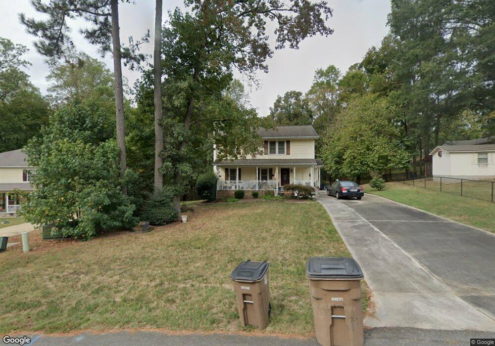
302 Mockingbird Ln Wake Forest, NC 27587
Estimated Value: $307,000 - $386,000
3
Beds
3
Baths
1,652
Sq Ft
$212/Sq Ft
Est. Value
About This Home
This home is located at 302 Mockingbird Ln, Wake Forest, NC 27587 and is currently estimated at $349,962, approximately $211 per square foot. 302 Mockingbird Ln is a home located in Wake County with nearby schools including Wake Forest Elementary School, Wake Forest-Rolesville Middle School, and Wake Forest High School.
Ownership History
Date
Name
Owned For
Owner Type
Purchase Details
Closed on
Sep 29, 2006
Sold by
Didio Kenneth J and Didio Elaine
Bought by
Marengo Barbara J
Current Estimated Value
Home Financials for this Owner
Home Financials are based on the most recent Mortgage that was taken out on this home.
Original Mortgage
$100,000
Outstanding Balance
$59,738
Interest Rate
6.48%
Mortgage Type
Purchase Money Mortgage
Estimated Equity
$290,224
Create a Home Valuation Report for This Property
The Home Valuation Report is an in-depth analysis detailing your home's value as well as a comparison with similar homes in the area
Home Values in the Area
Average Home Value in this Area
Purchase History
| Date | Buyer | Sale Price | Title Company |
|---|---|---|---|
| Marengo Barbara J | $160,000 | None Available |
Source: Public Records
Mortgage History
| Date | Status | Borrower | Loan Amount |
|---|---|---|---|
| Open | Marengo Barbara J | $100,000 |
Source: Public Records
Tax History
| Year | Tax Paid | Tax Assessment Tax Assessment Total Assessment is a certain percentage of the fair market value that is determined by local assessors to be the total taxable value of land and additions on the property. | Land | Improvement |
|---|---|---|---|---|
| 2025 | $3,341 | $341,467 | $100,000 | $241,467 |
| 2024 | $3,329 | $341,467 | $100,000 | $241,467 |
Source: Public Records
Map
Nearby Homes
- 153 Deacon Ridge St
- 504 Ledyard Ct
- 740 Rockville Rd
- 544 Elm Ave
- 545 Elm Ave
- 409 Triumph Ln
- 410 Triumph Ln
- 469 Rally Point Place
- 497 Rally Point Place
- 0 Carroll St
- 805 S Franklin St
- 820 Laurel Gate Dr
- 1015 Wait Ave
- 978 Gateway Commons Cir
- 229 Yellow Poplar Ave
- 425 Pearce Ave
- 231 Highgate Cir
- 541 Roycroft Dr
- 417 Pearce Ave
- 821 Silver Linden Ln
- 304 Mockingbird Ln
- 722 Quail Ave
- 716 Quail Ave
- 323 S Allen Rd
- 712 Quail Ave
- 308 Mockingbird Ln
- 301 Mockingbird Ln
- 804 Quail Ave
- 804 Quail Ave
- 333 S Allen Rd
- 248 Mockingbird Ln
- 318 Mockingbird Ln
- 257 S Allen Rd
- 343 S Allen Rd
- 303 Mockingbird Ln
- 249 Mockingbird Ln
- 818 Quail Ave
- 322 Mockingbird Ln
- 332 S Allen Rd
- 246 Mockingbird Ln
Your Personal Tour Guide
Ask me questions while you tour the home.