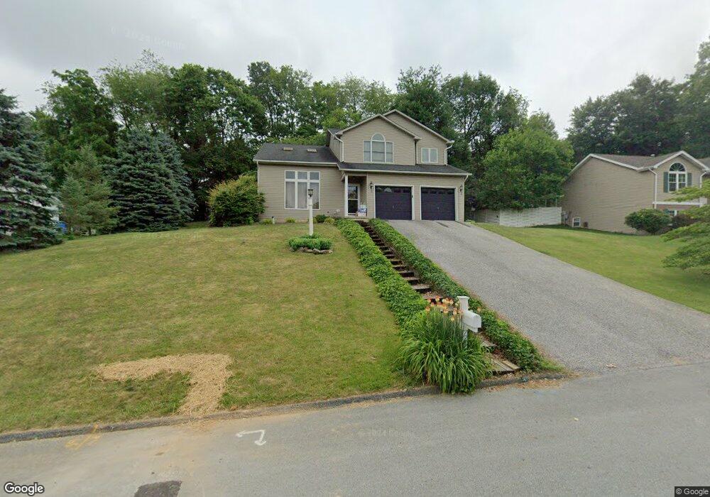
302 Mohawk Dr Red Lion, PA 17356
Estimated Value: $386,355 - $428,000
3
Beds
3
Baths
2,198
Sq Ft
$183/Sq Ft
Est. Value
About This Home
This home is located at 302 Mohawk Dr, Red Lion, PA 17356 and is currently estimated at $402,089, approximately $182 per square foot. 302 Mohawk Dr is a home located in York County with nearby schools including Larry J. Macaluso Elementary School, Red Lion Area Junior High School, and Red Lion Area Senior High School.
Ownership History
Date
Name
Owned For
Owner Type
Purchase Details
Closed on
Jul 14, 2023
Sold by
Bunner Kevin T
Bought by
Bunner Seth T and Attaway Chelsea M
Current Estimated Value
Home Financials for this Owner
Home Financials are based on the most recent Mortgage that was taken out on this home.
Original Mortgage
$200,000
Outstanding Balance
$195,158
Interest Rate
6.71%
Mortgage Type
New Conventional
Estimated Equity
$206,931
Purchase Details
Closed on
Aug 30, 2012
Sold by
Bunner Kevin T and Bunner Nanette F
Bought by
Bunner Kevin T
Home Financials for this Owner
Home Financials are based on the most recent Mortgage that was taken out on this home.
Original Mortgage
$99,500
Interest Rate
3.57%
Mortgage Type
New Conventional
Purchase Details
Closed on
May 29, 1992
Bought by
Bunner Kevin T and Bunner Nanette F
Create a Home Valuation Report for This Property
The Home Valuation Report is an in-depth analysis detailing your home's value as well as a comparison with similar homes in the area
Home Values in the Area
Average Home Value in this Area
Purchase History
| Date | Buyer | Sale Price | Title Company |
|---|---|---|---|
| Bunner Seth T | $250,000 | None Listed On Document | |
| Bunner Kevin T | -- | None Available | |
| Bunner Kevin T | $30,000 | -- |
Source: Public Records
Mortgage History
| Date | Status | Borrower | Loan Amount |
|---|---|---|---|
| Open | Bunner Seth T | $200,000 | |
| Previous Owner | Bunner Kevin T | $99,500 |
Source: Public Records
Tax History Compared to Growth
Tax History
| Year | Tax Paid | Tax Assessment Tax Assessment Total Assessment is a certain percentage of the fair market value that is determined by local assessors to be the total taxable value of land and additions on the property. | Land | Improvement |
|---|---|---|---|---|
| 2025 | $5,916 | $189,250 | $54,150 | $135,100 |
| 2024 | $5,683 | $189,250 | $54,150 | $135,100 |
| 2023 | $5,683 | $189,250 | $54,150 | $135,100 |
| 2022 | $5,683 | $189,250 | $54,150 | $135,100 |
| 2021 | $5,522 | $189,250 | $54,150 | $135,100 |
| 2020 | $5,522 | $189,250 | $54,150 | $135,100 |
| 2019 | $5,503 | $189,250 | $54,150 | $135,100 |
| 2018 | $5,475 | $189,250 | $54,150 | $135,100 |
| 2017 | $5,428 | $189,250 | $54,150 | $135,100 |
| 2016 | $0 | $189,250 | $54,150 | $135,100 |
| 2015 | -- | $189,250 | $54,150 | $135,100 |
| 2014 | -- | $189,250 | $54,150 | $135,100 |
Source: Public Records
Map
Nearby Homes
- 306 Mohawk Dr
- Lot #10 Barclay Dr
- 375 Barclay Dr
- 325 Barclay Dr
- 44 Hunters Run Ct Unit 8
- 1012 Woodridge Rd
- 413 Appaloosa Way
- 60 Indian Springs Rd
- 0 Cape Horn Rd
- 3366 Cape Horn Rd
- 327 Robin Dr
- 705 Danbury Dr
- 415 N Main St
- 265 Winners Cir Unit 265
- 270 N Main St
- 137 Furlong Way
- 127 W Gay St
- 27 Steeple Ave
- 400 Carriage Ln Unit 400
- 115 Ava Dr