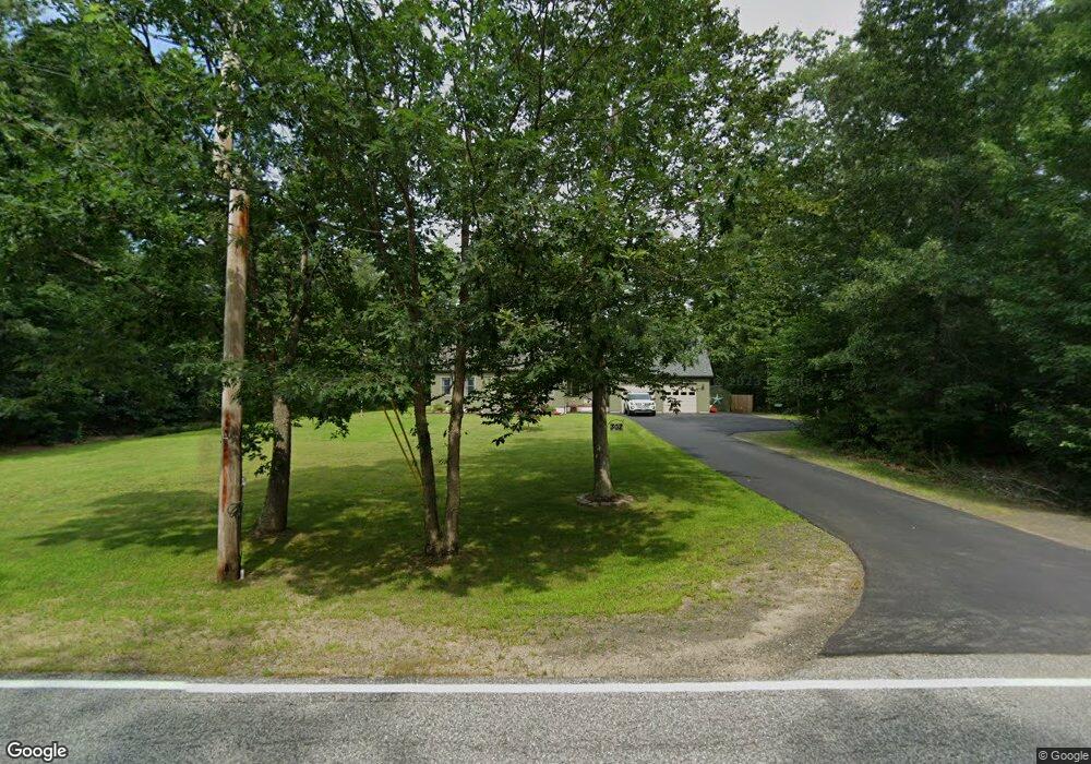
302 Morrills Mill Rd North Berwick, ME 03906
South Sanford NeighborhoodEstimated Value: $355,000 - $533,000
2
Beds
1
Bath
1,506
Sq Ft
$299/Sq Ft
Est. Value
About This Home
This home is located at 302 Morrills Mill Rd, North Berwick, ME 03906 and is currently estimated at $450,150, approximately $298 per square foot. 302 Morrills Mill Rd is a home located in York County with nearby schools including Noble High School.
Ownership History
Date
Name
Owned For
Owner Type
Purchase Details
Closed on
Mar 25, 2016
Sold by
Dumont Timothy J and Dumont Stefanie D
Bought by
Gray David W and Gray Lisa E
Current Estimated Value
Purchase Details
Closed on
Dec 12, 2006
Sold by
Tpd Constr Co
Bought by
Dumont Timothy J
Home Financials for this Owner
Home Financials are based on the most recent Mortgage that was taken out on this home.
Original Mortgage
$200,000
Interest Rate
6.4%
Mortgage Type
Purchase Money Mortgage
Create a Home Valuation Report for This Property
The Home Valuation Report is an in-depth analysis detailing your home's value as well as a comparison with similar homes in the area
Home Values in the Area
Average Home Value in this Area
Purchase History
| Date | Buyer | Sale Price | Title Company |
|---|---|---|---|
| Gray David W | -- | -- | |
| Dumont Timothy J | -- | -- |
Source: Public Records
Mortgage History
| Date | Status | Borrower | Loan Amount |
|---|---|---|---|
| Previous Owner | Dumont Timothy J | $200,000 |
Source: Public Records
Tax History Compared to Growth
Tax History
| Year | Tax Paid | Tax Assessment Tax Assessment Total Assessment is a certain percentage of the fair market value that is determined by local assessors to be the total taxable value of land and additions on the property. | Land | Improvement |
|---|---|---|---|---|
| 2024 | $3,619 | $361,900 | $134,100 | $227,800 |
| 2023 | $3,356 | $312,200 | $113,400 | $198,800 |
| 2022 | $2,958 | $265,300 | $103,100 | $162,200 |
| 2021 | $2,843 | $260,800 | $103,100 | $157,700 |
| 2020 | $2,810 | $236,100 | $93,600 | $142,500 |
| 2019 | $2,794 | $226,200 | $89,800 | $136,400 |
| 2018 | $2,843 | $220,400 | $89,800 | $130,600 |
| 2017 | $2,777 | $220,400 | $89,800 | $130,600 |
| 2016 | $2,499 | $198,300 | $89,800 | $108,500 |
| 2015 | $2,499 | $198,300 | $89,800 | $108,500 |
| 2013 | $2,469 | $198,300 | $89,800 | $108,500 |
Source: Public Records
Map
Nearby Homes
- 41 Sunny Ln
- 99 Channel Ln
- 122 Country Club 3 Rd
- Lot 55-A Ford Quint Rd
- Lot 8E Country Club Rd
- 42 Bernice Ave
- 469 High St
- 45 Grace Ln
- 22 Lentago Ln
- Lot 4 Tbd Lentago Ln Unit Lot 4
- TBD Ridge Terrace Unit Lot 7
- TBD Ridge Terrace Unit Lot 6
- Lot 1 Ridge Terrace
- Lot A Butler Rd
- 247 Sam Allen Rd
- 761 Quarry Rd
- 43 Michaels Rd
- 30 Riverview Dr Unit D
- 17 Airport Rd
- Lot 13 Laney Ln
- 316 Morrills Mill Rd
- 0 Morrell's Mill Rd
- 301 Morrills Mill Rd
- 0 Morrells Mill Rd Unit 330927
- 0 Morrells Mill Rd Unit 244389
- 0 Morrells Mill Rd Unit 244390
- 0 Morrells Mill Rd Unit 1400536
- 290 Morrills Mill Rd
- 8 W 4th St
- 293 Morrills Mill Rd
- 25 Acres Route 4
- 522 Valley Rd
- 36 W 4th St
- 279 Morrills Mill Rd
- 45 Acres Route 4
- 264 Morrills Mill Rd
- 264 Morrills Mill Rd
- 510 Valley Rd
- 40 W 4th St
- 345 Morrills Mill Rd