302 Mossy Rock Trail Iron Station, NC 28080
Estimated Value: $851,000 - $1,484,810
4
Beds
4
Baths
3,411
Sq Ft
$342/Sq Ft
Est. Value
About This Home
This home is located at 302 Mossy Rock Trail, Iron Station, NC 28080 and is currently estimated at $1,167,905, approximately $342 per square foot. 302 Mossy Rock Trail is a home with nearby schools including East Lincoln Middle School and East Lincoln High School.
Ownership History
Date
Name
Owned For
Owner Type
Purchase Details
Closed on
Nov 8, 2019
Sold by
Collins Terry L and Collins Beverly C
Bought by
Collins Family Living Trust
Current Estimated Value
Purchase Details
Closed on
Feb 6, 2006
Sold by
Casper Anna
Bought by
Collins Terry and Collins Beverly
Purchase Details
Closed on
Apr 14, 2000
Bought by
Collins Terry and Beverly Collins
Create a Home Valuation Report for This Property
The Home Valuation Report is an in-depth analysis detailing your home's value as well as a comparison with similar homes in the area
Home Values in the Area
Average Home Value in this Area
Purchase History
| Date | Buyer | Sale Price | Title Company |
|---|---|---|---|
| Collins Family Living Trust | -- | None Available | |
| Collins Terry | $75,000 | None Available | |
| Collins Terry | $226,500 | -- |
Source: Public Records
Tax History Compared to Growth
Tax History
| Year | Tax Paid | Tax Assessment Tax Assessment Total Assessment is a certain percentage of the fair market value that is determined by local assessors to be the total taxable value of land and additions on the property. | Land | Improvement |
|---|---|---|---|---|
| 2025 | $7,431 | $1,213,459 | $221,094 | $992,365 |
| 2024 | $7,692 | $1,213,459 | $221,094 | $992,365 |
| 2023 | $7,687 | $1,213,459 | $221,094 | $992,365 |
| 2022 | $5,485 | $721,720 | $153,914 | $567,806 |
| 2021 | $5,485 | $721,720 | $153,914 | $567,806 |
| 2020 | $5,225 | $721,720 | $153,914 | $567,806 |
| 2019 | $5,081 | $721,720 | $153,914 | $567,806 |
| 2018 | $4,797 | $655,691 | $161,300 | $494,391 |
| 2017 | $4,661 | $655,691 | $161,300 | $494,391 |
| 2016 | $4,661 | $655,691 | $161,300 | $494,391 |
| 2015 | $4,656 | $655,691 | $161,300 | $494,391 |
| 2014 | $4,639 | $659,916 | $163,434 | $496,482 |
Source: Public Records
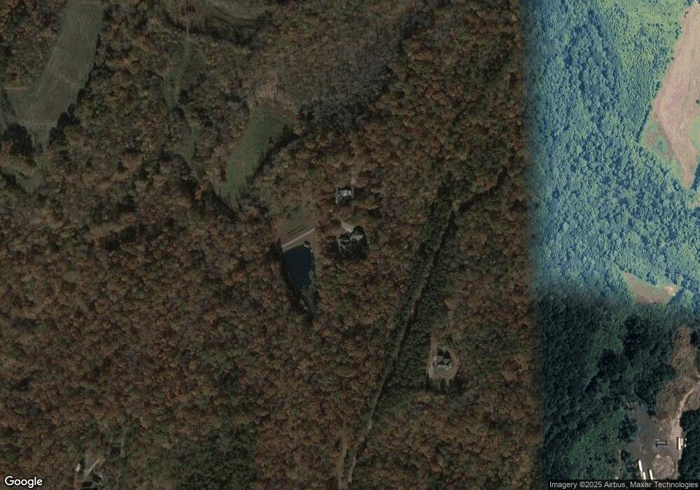
Map
Nearby Homes
- Lot 6 Walnut Ridge Rd Unit 6
- 000 N Carolina 73
- 00 Timber Rd
- 375 Timber Rd
- 341 Camp Creek Rd
- 132 Huncoat Hollow Ln
- 5045 Amity Ln Unit 12
- 1011 Lester Trail
- 812 Trinity Ln
- 1076 Furnace Rd
- 1894 N Carolina 73
- 429 Link Dr
- 0000 Chase Dr Unit 3
- 0 Great Dane Ave Unit CAR4157929
- 1279 Craig Dr
- 25 Planters Row Rd
- 22 Planters Row Rd
- 28 Planters Row Rd Unit 28
- 34 Planters Row Rd Unit 34
- 26 Planters Row Rd Unit 26
- 230 Destiny Way
- 346 Rudisill Ln
- 2633 Highway 73
- 121 Mossy Rock Trail
- 123 Major Ln
- 2851 Nc 73 Hwy
- 2851 Highway 73
- 237 Walnut Ridge Dr
- 007 Vesuvius Furnace Rd Unit 7
- 2626 Highway 73
- 2590 Nc 73 Hwy
- 119 Major Ln
- 227 Walnut Ridge Dr
- 281 Walnut Ridge Dr
- 2551 Nc 73 Hwy
- 004 Vesuvius Furnace Rd Unit 4
- 4654 Reinhardt Cir
- 4768 Lynn Ln
- 4687 Reinhardt Cir
- 4605 Rye Ct