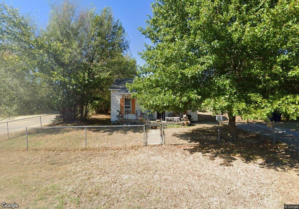
302 N Mead Ave Shawnee, OK 74801
Estimated Value: $74,736 - $108,000
3
Beds
1
Bath
986
Sq Ft
$85/Sq Ft
Est. Value
About This Home
This home is located at 302 N Mead Ave, Shawnee, OK 74801 and is currently estimated at $83,434, approximately $84 per square foot. 302 N Mead Ave is a home located in Pottawatomie County with nearby schools including Horace Mann Elementary School, Shawnee Middle School, and Shawnee High School.
Ownership History
Date
Name
Owned For
Owner Type
Purchase Details
Closed on
Sep 30, 2014
Sold by
Mader Jeffery D and Mader Misty M
Bought by
Meazell Justin
Current Estimated Value
Purchase Details
Closed on
Sep 17, 2013
Sold by
Bank Of America Na
Bought by
Mader Jeffery D and Mader Misty M
Purchase Details
Closed on
Apr 15, 2013
Sold by
Morehead Wade
Bought by
Bank Of America Na
Create a Home Valuation Report for This Property
The Home Valuation Report is an in-depth analysis detailing your home's value as well as a comparison with similar homes in the area
Home Values in the Area
Average Home Value in this Area
Purchase History
| Date | Buyer | Sale Price | Title Company |
|---|---|---|---|
| Meazell Justin | $12,000 | First American Title | |
| Mader Jeffery D | $8,500 | Oklahoma Reo Closing & Title | |
| Bank Of America Na | -- | None Available |
Source: Public Records
Tax History Compared to Growth
Tax History
| Year | Tax Paid | Tax Assessment Tax Assessment Total Assessment is a certain percentage of the fair market value that is determined by local assessors to be the total taxable value of land and additions on the property. | Land | Improvement |
|---|---|---|---|---|
| 2024 | $401 | $4,035 | $593 | $3,442 |
| 2023 | $401 | $3,843 | $1,260 | $2,583 |
| 2022 | $394 | $3,843 | $1,260 | $2,583 |
| 2021 | $387 | $3,843 | $1,260 | $2,583 |
| 2020 | $388 | $3,843 | $1,260 | $2,583 |
| 2019 | $401 | $3,843 | $1,260 | $2,583 |
| 2018 | $387 | $3,777 | $1,260 | $2,517 |
| 2017 | $380 | $3,761 | $1,260 | $2,501 |
| 2016 | $380 | $3,728 | $1,260 | $2,468 |
| 2015 | $373 | $3,727 | $1,260 | $2,467 |
| 2014 | $443 | $4,431 | $1,260 | $3,171 |
Source: Public Records
Map
Nearby Homes
- 210 N Roosevelt Ave
- 301 Clubhouse Dr
- 703 N Roosevelt Ave
- 124 N Pesotum Ave
- 1330 E Main St
- 1328 E 10th St
- 1330 E Whittaker St
- 1326 E 10th St
- 1 Country Club Rd
- 711 N Cleveland Ave
- 648 N Cleveland Ave
- 322 N Draper Ave
- 1824 E Remington St
- 9 Country Club Rd
- 1322 E Margaret St
- 1320 E Margaret St
- 1314 E Margaret St
- 601 Pool Ln
- 1235 E Edwards St
- 1600 E Farrall
- 310 N Mead Ave
- 318 N Mead Ave
- 320 N Mead Ave
- 306 N Mead Ave
- 1913 E 10th St
- 319 N Mead Ave
- 1902 E 10th St
- 1915 E 10th St
- 317 N Mead Ave
- 1911 E 10th St
- 321 N Mead Ave
- 303 N Mead Ave
- 1907 E 10th St
- 320 N Washington Ave
- 301 N Washington Ave
- 327 N Mead Ave
- 323 N Mead Ave
- 326 N Mead Ave
- 325 N Tenbrook Ave
- 322 N Washington Ave