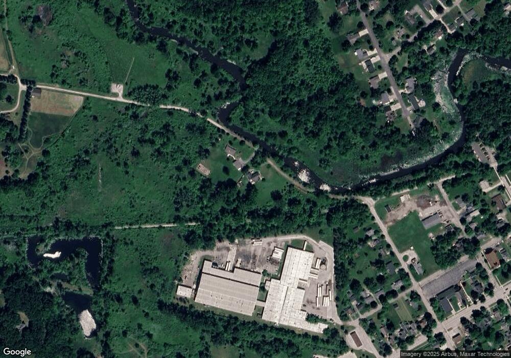
302 N Union St Manchester, MI 48158
Estimated Value: $338,000 - $455,000
2
Beds
3
Baths
1,955
Sq Ft
$200/Sq Ft
Est. Value
About This Home
This home is located at 302 N Union St, Manchester, MI 48158 and is currently estimated at $391,589, approximately $200 per square foot. 302 N Union St is a home located in Washtenaw County with nearby schools including Luther C. Klager Elementary School, Riverside Intermediate School, and Manchester Junior & High School.
Ownership History
Date
Name
Owned For
Owner Type
Purchase Details
Closed on
Sep 24, 2003
Sold by
Amburgey Timothy J and Amburgey Mary
Bought by
Brown Gregory and Brown Sheree D
Current Estimated Value
Home Financials for this Owner
Home Financials are based on the most recent Mortgage that was taken out on this home.
Original Mortgage
$202,300
Outstanding Balance
$94,428
Interest Rate
6.33%
Mortgage Type
Fannie Mae Freddie Mac
Estimated Equity
$297,161
Create a Home Valuation Report for This Property
The Home Valuation Report is an in-depth analysis detailing your home's value as well as a comparison with similar homes in the area
Home Values in the Area
Average Home Value in this Area
Purchase History
| Date | Buyer | Sale Price | Title Company |
|---|---|---|---|
| Brown Gregory | $270,000 | -- |
Source: Public Records
Mortgage History
| Date | Status | Borrower | Loan Amount |
|---|---|---|---|
| Open | Brown Gregory | $202,300 |
Source: Public Records
Tax History Compared to Growth
Tax History
| Year | Tax Paid | Tax Assessment Tax Assessment Total Assessment is a certain percentage of the fair market value that is determined by local assessors to be the total taxable value of land and additions on the property. | Land | Improvement |
|---|---|---|---|---|
| 2025 | $2,729 | $196,900 | $0 | $0 |
| 2024 | $2,729 | $184,800 | $0 | $0 |
| 2023 | $2,511 | $181,400 | $0 | $0 |
| 2022 | $4,722 | $157,900 | $0 | $0 |
| 2021 | $3,590 | $153,700 | $0 | $0 |
| 2020 | $3,126 | $159,600 | $0 | $0 |
| 2019 | $4,639 | $137,550 | $137,550 | $0 |
| 2018 | $4,554 | $136,550 | $0 | $0 |
| 2017 | $2,922 | $125,900 | $0 | $0 |
| 2016 | $4,352 | $87,868 | $0 | $0 |
| 2015 | -- | $81,973 | $0 | $0 |
| 2014 | -- | $70,850 | $0 | $0 |
| 2013 | -- | $70,850 | $0 | $0 |
Source: Public Records
Map
Nearby Homes
- 517 W Main St
- 545 W Main St
- 685 Wald Strasse St
- 402 Ann Arbor St
- 206 Ann Arbor St
- 113 Ann Arbor St
- 316 Riverside Dr
- 19272 Sandborn Rd
- 410 City Rd
- 415 Riverside Dr
- 138 Woodland Way
- 146 Woodland Way
- 521 Adrian St
- 150 Woodland Way
- 210 Glenwood Cir Unit 16
- 225 Glenwood Cir
- 600 Adrian St
- 8220 Grossman Rd
- 252 Glenwood Cir Unit 26
- 0 Dutch Dr Unit 25007812
- 304 N Union St
- 224 N Union St
- 220 N Union St
- 216 N Union St
- 362 River Bend St
- 360 River Bend St
- 420 W Madison St
- 364 River Bend St
- 354 River Bend St
- 412 W Madison St
- 416 W Madison St
- 348 River Bend St
- 210 N Union St
- 344 River Bend St
- 410 W Madison St
- 340 River Bend St
- 404 W Madison St
- 420 W Main St
- 536 W Main St
- 365 River Bend St
