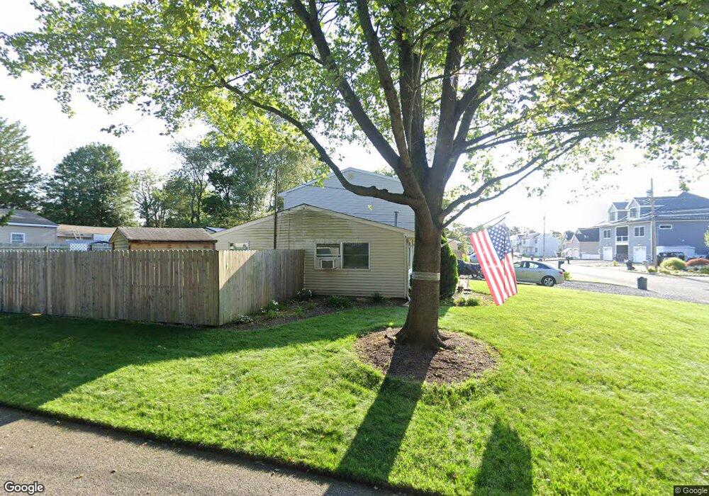
302 Nantucket Rd Forked River, NJ 08731
Estimated Value: $359,710 - $468,000
3
Beds
2
Baths
1,684
Sq Ft
$246/Sq Ft
Est. Value
About This Home
This home is located at 302 Nantucket Rd, Forked River, NJ 08731 and is currently estimated at $414,928, approximately $246 per square foot. 302 Nantucket Rd is a home located in Ocean County with nearby schools including Lacey Township High School.
Ownership History
Date
Name
Owned For
Owner Type
Purchase Details
Closed on
Mar 9, 2010
Sold by
Gudzak Paul B
Bought by
Gudzak Paul B and Gudzak Loren
Current Estimated Value
Purchase Details
Closed on
Jun 11, 1998
Sold by
Gudzak Paul B and Dalessandro Deborah A
Bought by
Gudzak Paul B
Home Financials for this Owner
Home Financials are based on the most recent Mortgage that was taken out on this home.
Original Mortgage
$58,800
Outstanding Balance
$11,753
Interest Rate
7.04%
Estimated Equity
$403,175
Create a Home Valuation Report for This Property
The Home Valuation Report is an in-depth analysis detailing your home's value as well as a comparison with similar homes in the area
Home Values in the Area
Average Home Value in this Area
Purchase History
| Date | Buyer | Sale Price | Title Company |
|---|---|---|---|
| Gudzak Paul B | -- | None Available | |
| Gudzak Paul B | -- | -- |
Source: Public Records
Mortgage History
| Date | Status | Borrower | Loan Amount |
|---|---|---|---|
| Open | Gudzak Paul B | $58,800 |
Source: Public Records
Tax History
| Year | Tax Paid | Tax Assessment Tax Assessment Total Assessment is a certain percentage of the fair market value that is determined by local assessors to be the total taxable value of land and additions on the property. | Land | Improvement |
|---|---|---|---|---|
| 2025 | $4,718 | $186,200 | $77,000 | $109,200 |
| 2024 | $4,411 | $186,200 | $77,000 | $109,200 |
| 2023 | $4,214 | $186,200 | $77,000 | $109,200 |
| 2022 | $4,214 | $186,200 | $77,000 | $109,200 |
| 2021 | $4,143 | $186,200 | $77,000 | $109,200 |
| 2020 | $4,011 | $186,200 | $77,000 | $109,200 |
| 2019 | $3,940 | $186,200 | $77,000 | $109,200 |
| 2018 | $3,893 | $186,200 | $77,000 | $109,200 |
| 2017 | $3,804 | $186,200 | $77,000 | $109,200 |
| 2016 | $3,789 | $186,200 | $77,000 | $109,200 |
| 2015 | $3,620 | $186,200 | $77,000 | $109,200 |
| 2014 | $3,798 | $220,800 | $112,000 | $108,800 |
Source: Public Records
Map
Nearby Homes
- 217 Nantucket Rd
- 404 Beach Blvd
- 9 Hollywood Blvd S
- 10 Dolphin Ct
- 463 Ensign Rd
- 615 Beach Blvd
- 69 Saltspray Dr
- 75 Saltspray Dr
- 79 Saltspray Dr
- 72 Saltspray Dr
- 123 Oakwood Place
- 635 Oakwood Dr
- 22 Saltspray Dr
- 417 Riverview Rd
- 634 Fairview Ln
- 102 Maria Loretta Ln
- 703 Chesapeake Dr
- 809 Pensacola Rd
- 1303 Cypress St
- 126 Bay Ave
- 304 Nantucket Rd
- 301 Beach Blvd
- 306 Nantucket Rd
- 301 Nantucket Rd
- 219 Beach Blvd
- 305 Beach Blvd
- 305 Nantucket Rd
- 217 Nantucket Rd
- 217 Beach Blvd
- 308 Nantucket Rd
- 307 Nantucket Rd
- 203 Nantucket Rd
- 215 Nantucket Rd
- 309 Beach Blvd
- 302 Beach Blvd
- 309 Nantucket Rd
- 304 Beach Blvd
- 215 Beach Blvd
- 220 Beach Blvd
- Lot1 Clearwater Dr
Your Personal Tour Guide
Ask me questions while you tour the home.