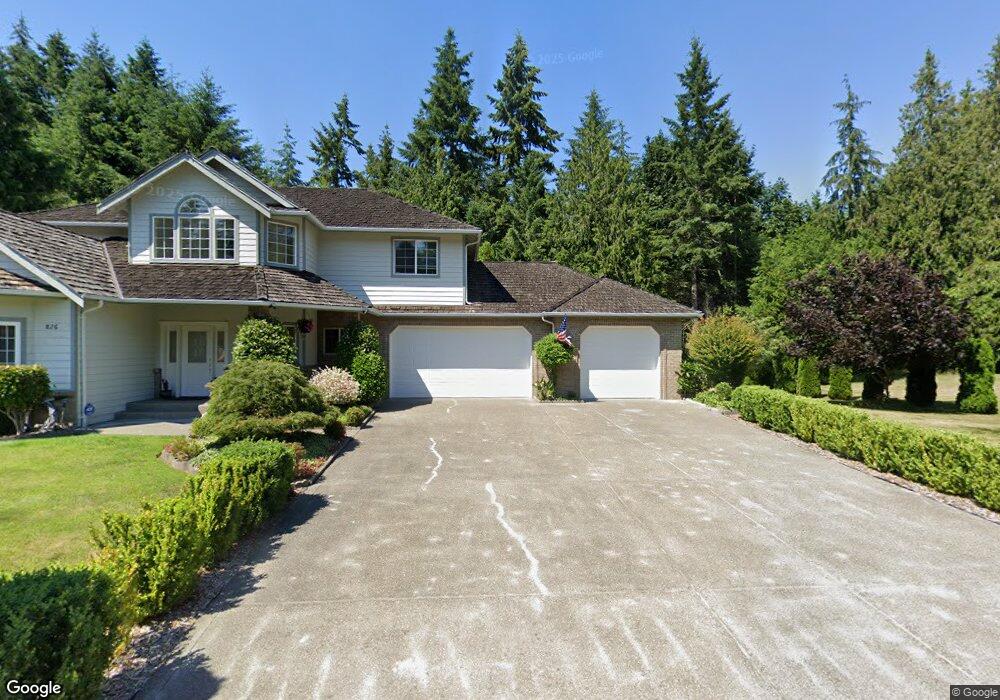
302 NE Lost Lake Way Poulsbo, WA 98370
Estimated Value: $837,000 - $940,000
3
Beds
3
Baths
2,656
Sq Ft
$337/Sq Ft
Est. Value
About This Home
This home is located at 302 NE Lost Lake Way, Poulsbo, WA 98370 and is currently estimated at $894,976, approximately $336 per square foot. 302 NE Lost Lake Way is a home located in Kitsap County with nearby schools including Hilder Pearson Elementary School, Poulsbo Middle School, and North Kitsap High School.
Ownership History
Date
Name
Owned For
Owner Type
Purchase Details
Closed on
Aug 21, 2001
Sold by
Green John A
Bought by
Brewington Ray and Brewington Shelley L
Current Estimated Value
Purchase Details
Closed on
Apr 21, 2001
Sold by
Rodgers Robin W and Rodgers Tracy L
Bought by
Green John A
Create a Home Valuation Report for This Property
The Home Valuation Report is an in-depth analysis detailing your home's value as well as a comparison with similar homes in the area
Home Values in the Area
Average Home Value in this Area
Purchase History
| Date | Buyer | Sale Price | Title Company |
|---|---|---|---|
| Brewington Ray | $70,000 | Land Title Company | |
| Green John A | $50,000 | Transnation Title Insurance |
Source: Public Records
Tax History Compared to Growth
Tax History
| Year | Tax Paid | Tax Assessment Tax Assessment Total Assessment is a certain percentage of the fair market value that is determined by local assessors to be the total taxable value of land and additions on the property. | Land | Improvement |
|---|---|---|---|---|
| 2026 | $7,326 | $801,340 | $182,020 | $619,320 |
| 2025 | $7,326 | $801,340 | $182,020 | $619,320 |
| 2024 | $7,325 | $832,050 | $199,960 | $632,090 |
| 2023 | $7,273 | $832,050 | $199,960 | $632,090 |
| 2022 | $6,550 | $672,510 | $166,640 | $505,870 |
| 2021 | $6,248 | $605,280 | $149,310 | $455,970 |
| 2020 | $5,888 | $578,060 | $142,640 | $435,420 |
| 2019 | $5,705 | $542,320 | $133,310 | $409,010 |
| 2018 | $5,843 | $474,990 | $135,770 | $339,220 |
| 2017 | $5,591 | $474,990 | $135,770 | $339,220 |
| 2016 | $5,660 | $440,940 | $135,770 | $305,170 |
| 2015 | $5,410 | $440,940 | $135,770 | $305,170 |
| 2014 | -- | $425,050 | $135,770 | $289,280 |
| 2013 | -- | $425,050 | $135,770 | $289,280 |
Source: Public Records
Map
Nearby Homes
- 13600 Hillcrest St NW
- 1354 Hoffs Dr
- 0 Brownsville Hwy NE Unit NWM2408193
- 13083 Lake Shore Dr NW
- 129 Xx Stiller Blvd NW
- 1533 NE Tagholm Rd
- 2393 NE Trail Way
- 13977 Blackberry Ln NE
- 0 NE Solar View Ct
- 0 S Keyport Rd NE
- 13526 Huntley Place NW
- 15739 Virginia Loop Rd NE
- 13727 Templeton Ave NW
- 1312 NE South Petterson Rd
- 13214 Lakeridge Cir NW
- 1314 NE South Petterson Rd
- 15485 NE Peterson Rd
- 1922 NE Fir St
- 0 xxxx Brownsville Hwy NE
- 1504 NW Lakehill Cir
- 826 NE Mount Mystery Loop
- 820 NE Mount Mystery Loop
- 13554 Central Valley Rd NE
- 832 NE Mount Mystery Loop
- 814 NE Mount Mystery Loop
- 838 NE Mount Mystery Loop
- 838 NE Mt Mystery Loop
- 808 NE Mount Mystery Loop
- 844 NE Mount Mystery Loop
- 825 NE Mount Mystery Loop
- 831 NE Mount Mystery Loop
- 819 NE Mount Mystery Loop
- 13570 Central Valley Rd NE
- 625 NE Anna Rd
- 291 NE June Ln
- 802 NE Mount Mystery Loop
- 843 NE Mount Mystery Loop
- 537 NE Anna Rd
- 290 NE June Ln
- 475 NE Anna Rd