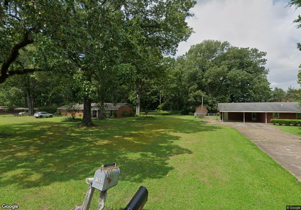
302 Oak Crest Cir West Point, MS 39773
Estimated Value: $189,000 - $209,000
3
Beds
--
Bath
2,163
Sq Ft
$93/Sq Ft
Est. Value
About This Home
This home is located at 302 Oak Crest Cir, West Point, MS 39773 and is currently estimated at $201,355, approximately $93 per square foot. 302 Oak Crest Cir is a home located in Clay County with nearby schools including East Side Elementary School, West Clay Elementary School, and Church Hill Elementary School.
Ownership History
Date
Name
Owned For
Owner Type
Purchase Details
Closed on
Feb 7, 2022
Sold by
Barbara Mccamey
Bought by
Johnson Jordan and Johnson Bernice
Current Estimated Value
Home Financials for this Owner
Home Financials are based on the most recent Mortgage that was taken out on this home.
Original Mortgage
$166,822
Outstanding Balance
$153,740
Interest Rate
3.56%
Mortgage Type
FHA
Estimated Equity
$47,615
Purchase Details
Closed on
Jun 30, 2011
Sold by
Reed Gloria A
Bought by
Mccamey Barbara A and Angle Swain Q
Create a Home Valuation Report for This Property
The Home Valuation Report is an in-depth analysis detailing your home's value as well as a comparison with similar homes in the area
Purchase History
We collect this data history from publicly available records. To have your information removed, we recommend requesting removal directly through your county’s website.
| Date | Buyer | Sale Price | Title Company |
|---|---|---|---|
| Johnson Jordan | -- | Ross & Kelley Pllc | |
| Mccamey Barbara A | -- | -- |
Source: Public Records
Mortgage History
We collect this data history from publicly available records. To have your information removed, we recommend requesting removal directly through your county’s website.
| Date | Status | Borrower | Loan Amount |
|---|---|---|---|
| Open | Johnson Jordan | $166,822 |
Source: Public Records
Tax History
| Year | Tax Paid | Tax Assessment Tax Assessment Total Assessment is a certain percentage of the fair market value that is determined by local assessors to be the total taxable value of land and additions on the property. | Land | Improvement |
|---|---|---|---|---|
| 2025 | $516 | $11,426 | $1,259 | $10,167 |
| 2024 | $492 | $11,426 | $1,259 | $10,167 |
| 2023 | $790 | $9,606 | $1,259 | $8,347 |
| 2022 | $807 | $14,444 | $1,923 | $12,521 |
| 2021 | $118 | $9,629 | $1,282 | $8,347 |
| 2020 | $119 | $9,629 | $1,282 | $8,347 |
| 2019 | $138 | $10,105 | $1,282 | $8,823 |
| 2018 | $132 | $10,105 | $1,282 | $8,823 |
| 2017 | $132 | $10,105 | $1,282 | $8,823 |
| 2016 | $127 | $10,105 | $1,282 | $8,823 |
| 2015 | $107 | $9,624 | $1,282 | $8,342 |
| 2014 | $102 | $9,624 | $1,282 | $8,342 |
| 2013 | $102 | $9,624 | $1,282 | $8,342 |
Source: Public Records
Map
Nearby Homes
- 714 Herman Shirley Rd
- 0 Shirley Subdivision
- 3986 E Church Hill Rd
- 72 Park St
- 329 Converse Dr
- 0 Dogwood Dr (Lot 21) Unit 26-332
- 0 Dogwood Dr (Lot 20) Unit 26-331
- 0 Dogwood Dr (Lot 14) Unit 26-329
- 0 Dogwood Dr (Lot 15)
- 44 Torbert Dr
- 472 S Eshman Ave
- 0 Dogwood Dr
- 355 Mccord St
- 405 S Eshman Ave
- 341 Mccord St
- 27185 E Main St
- 228 Mccord St
- 389 Mapleview Rd
- 761 E Morrow St
- 1414 E Brame Ave
- 281 Oak Crest Cir
- 407 Oak Crest Cir
- 387 Oak Crest Cir
- 372 Oak Crest Cir
- 285 Oak Crest Cir
- 441 Oak Crest Cir
- 187 Strong Hill Rd
- 159 Oak Crest Cir
- 258 Oak Crest Cir
- 486 Oak Crest Cir
- 247 Oak Crest Cir
- 226 Oak Crest Cir
- 485 Oak Crest Cir
- 106 Oak Crest Cir
- 532 Oak Crest Cir
- 95 Oak Crest Cir
- 258 Strong Hill Rd
- 169 Strong Hill Rd
- 481 Barton Ferry Rd
- 168 Oak Crest Cir
Your Personal Tour Guide
Ask me questions while you tour the home.