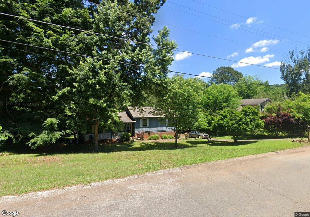
302 Old Farm Rd Unit I Woodstock, GA 30188
Estimated Value: $328,566 - $353,000
3
Beds
2
Baths
1,502
Sq Ft
$227/Sq Ft
Est. Value
About This Home
This home is located at 302 Old Farm Rd Unit I, Woodstock, GA 30188 and is currently estimated at $340,783, approximately $226 per square foot. 302 Old Farm Rd Unit I is a home located in Cherokee County with nearby schools including Woodstock Elementary School, Woodstock Middle School, and Woodstock High School.
Ownership History
Date
Name
Owned For
Owner Type
Purchase Details
Closed on
Jan 3, 2014
Sold by
Bolger Judy K
Bought by
Bolger Judy K and Zett Gary G
Current Estimated Value
Purchase Details
Closed on
Jun 15, 1999
Sold by
Whitehead Joan R
Bought by
Bolger Judy K
Home Financials for this Owner
Home Financials are based on the most recent Mortgage that was taken out on this home.
Original Mortgage
$72,800
Interest Rate
7.66%
Mortgage Type
New Conventional
Create a Home Valuation Report for This Property
The Home Valuation Report is an in-depth analysis detailing your home's value as well as a comparison with similar homes in the area
Home Values in the Area
Average Home Value in this Area
Purchase History
| Date | Buyer | Sale Price | Title Company |
|---|---|---|---|
| Bolger Judy K | -- | -- | |
| Bolger Judy K | $91,000 | -- |
Source: Public Records
Mortgage History
| Date | Status | Borrower | Loan Amount |
|---|---|---|---|
| Previous Owner | Bolger Judy K | $72,800 |
Source: Public Records
Tax History Compared to Growth
Tax History
| Year | Tax Paid | Tax Assessment Tax Assessment Total Assessment is a certain percentage of the fair market value that is determined by local assessors to be the total taxable value of land and additions on the property. | Land | Improvement |
|---|---|---|---|---|
| 2024 | $457 | $100,408 | $26,800 | $73,608 |
| 2023 | $299 | $94,208 | $24,000 | $70,208 |
| 2022 | $424 | $82,488 | $22,000 | $60,488 |
| 2021 | $419 | $70,808 | $16,000 | $54,808 |
| 2020 | $383 | $60,848 | $12,400 | $48,448 |
| 2019 | $377 | $59,200 | $12,400 | $46,800 |
| 2018 | $373 | $56,600 | $12,400 | $44,200 |
| 2017 | $377 | $138,200 | $12,400 | $42,880 |
| 2016 | $366 | $123,900 | $11,200 | $38,360 |
| 2015 | $352 | $107,800 | $11,200 | $31,920 |
| 2014 | $954 | $86,700 | $6,800 | $27,880 |
Source: Public Records
Map
Nearby Homes
- 294 Farm Ridge Dr NE
- 5142 Farm Place Dr NE
- 540 Stockwood Dr
- 162 Ridgewood Dr
- The Gavin E Plan at The Village at Shallowford - Signature Series
- The Marion A Plan at The Village at Shallowford - Classic Series
- The Cary A Plan at The Village at Shallowford - Classic Series
- 4669 Blue Topaz Trail
- 4793 Moonstone Trace
- 4785 Moonstone Trace
- 4778 Moonstone Trace
- 707 Smokey Quartz Way
- 710 Smokey Quartz Way
- 694 Smokey Quartz Way
- 4785 Moonstone Trace NE
- 703 Smokey Quartz Way
- 706 Smokey Quartz Way
- 702 Smokey Quartz Way
- 298 Farm Ridge Dr NE
- 5148 Farm Place Dr NE
- 5146 Farm Place Dr NE
- 294 Farm Ridge Dr NE
- 320 Farm Place Ct NE
- 322 Farm Place Ct NE
- 295 Farm Ridge Dr NE
- 301 Old Farm Rd
- 137 Ridgewood Dr
- 306 Old Farm Rd
- 293 Farm Ridge Dr NE
- 324 Farm Place Ct NE
- 0 Farm Place Dr NE
- 5144 Farm Place Dr NE
- 135 Ridgewood Dr
- 290 Farm Ridge Dr NE
- 326 Farm Pl Ct NE
- 5091 Farm Valley Dr NE Unit 145A
- 5091 Farm Valley Dr NE
- 290 Farm Ridge Dr NE