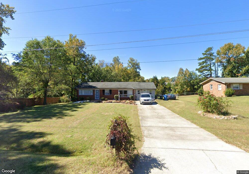
302 Purvis Ln Archdale, NC 27263
Estimated Value: $185,092 - $225,000
Studio
2
Baths
1,161
Sq Ft
$180/Sq Ft
Est. Value
About This Home
This home is located at 302 Purvis Ln, Archdale, NC 27263 and is currently estimated at $208,773, approximately $179 per square foot. 302 Purvis Ln is a home located in Randolph County with nearby schools including Archdale Elementary School, Wheatmore Middle School, and Trinity High School.
Ownership History
Date
Name
Owned For
Owner Type
Purchase Details
Closed on
Mar 23, 2022
Sold by
Rafia Aseem
Bought by
Rafia Aseem and Muneeba Aseem Muneeba
Current Estimated Value
Purchase Details
Closed on
Jan 23, 2018
Sold by
Smith John Daniel and Smith Judith C
Bought by
Aseem Rafia
Home Financials for this Owner
Home Financials are based on the most recent Mortgage that was taken out on this home.
Original Mortgage
$79,000
Interest Rate
3.99%
Mortgage Type
New Conventional
Purchase Details
Closed on
Jun 9, 2017
Sold by
Smith Louise C
Bought by
Smith Louise C
Create a Home Valuation Report for This Property
The Home Valuation Report is an in-depth analysis detailing your home's value as well as a comparison with similar homes in the area
Home Values in the Area
Average Home Value in this Area
Purchase History
| Date | Buyer | Sale Price | Title Company |
|---|---|---|---|
| Rafia Aseem | -- | None Listed On Document | |
| Aseem Rafia | $109,000 | None Available | |
| Smith Louise C | -- | None Available |
Source: Public Records
Mortgage History
| Date | Status | Borrower | Loan Amount |
|---|---|---|---|
| Previous Owner | Aseem Rafia | $79,000 |
Source: Public Records
Tax History
| Year | Tax Paid | Tax Assessment Tax Assessment Total Assessment is a certain percentage of the fair market value that is determined by local assessors to be the total taxable value of land and additions on the property. | Land | Improvement |
|---|---|---|---|---|
| 2025 | $1,553 | $149,310 | $44,230 | $105,080 |
| 2024 | $1,538 | $149,310 | $44,230 | $105,080 |
| 2023 | $1,538 | $149,310 | $44,230 | $105,080 |
| 2022 | $1,082 | $91,310 | $17,400 | $73,910 |
| 2021 | $1,082 | $91,310 | $17,400 | $73,910 |
| 2020 | $1,057 | $91,310 | $17,400 | $73,910 |
| 2019 | $1,057 | $91,310 | $17,400 | $73,910 |
| 2018 | $1,083 | $91,210 | $17,400 | $73,810 |
| 2016 | $534 | $91,211 | $17,400 | $73,811 |
| 2015 | $535 | $91,211 | $17,400 | $73,811 |
| 2014 | -- | $91,211 | $17,400 | $73,811 |
Source: Public Records
Map
Nearby Homes
- 810 Brittany Way
- 902 Brittany Way
- 1606 Chelsea Square
- 3813 Salisbury St
- 10812, 10822, 10828 N Main St
- 209 Rivermeade Dr
- 10844 N Main St
- 1100 Jimmy Ct
- 1103 Jimmy Ct
- 408 Forestwood Dr
- 1101 Jimmy Ct
- 0 Interstate Dr
- 116 Liberty Place
- 500 Lynbrook Dr
- 1101 Victory Dr
- 1012 Victory Dr
- 1004 Victory Dr
- 1105 Victory Dr
- 818 Westbrook Ct Unit 818
- 1107 Victory Dr
- 300 Purvis Ln
- 104 Beard Ave
- 200 Beard Ave
- 602 Brittany Way
- 604 Brittany Way
- 606 Brittany Way
- 608 Brittany Way
- 212 Purvis Ln
- 102 Beard Ave
- 610 Brittany Way
- 512 Brittany Way
- 510 Brittany Way
- 303 Purvis Ln
- 508 Brittany Way
- 301 Purvis Ln
- 506 Brittany Way
- 202 Beard Ave
- 702 Brittany Way
- 504 Brittany Way
- 704 Brittany Way
Your Personal Tour Guide
Ask me questions while you tour the home.