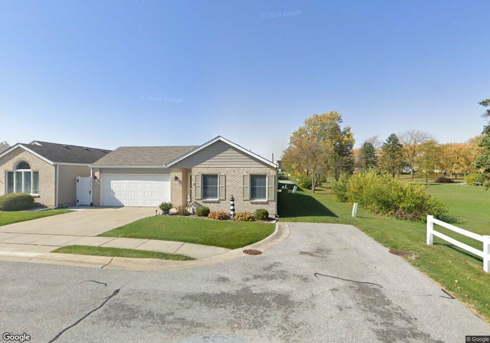
302 Ridge Ct Lowell, IN 46356
West Creek NeighborhoodEstimated Value: $222,162 - $238,000
2
Beds
2
Baths
1,232
Sq Ft
$188/Sq Ft
Est. Value
About This Home
This home is located at 302 Ridge Ct, Lowell, IN 46356 and is currently estimated at $231,541, approximately $187 per square foot. 302 Ridge Ct is a home located in Lake County with nearby schools including Lowell Middle School and Lowell Senior High School.
Ownership History
Date
Name
Owned For
Owner Type
Purchase Details
Closed on
Aug 20, 2020
Sold by
Sampias David and Sampias Paulette
Bought by
Sampias David C and Sampias Paulette S
Current Estimated Value
Purchase Details
Closed on
Dec 4, 2013
Sold by
Ursula M Andrews Living Trust
Bought by
Sampias David and Sampias Paulette
Home Financials for this Owner
Home Financials are based on the most recent Mortgage that was taken out on this home.
Original Mortgage
$80,000
Outstanding Balance
$59,079
Interest Rate
4.14%
Mortgage Type
New Conventional
Estimated Equity
$172,462
Purchase Details
Closed on
Jan 27, 2009
Sold by
Andrews Ursula M
Bought by
Ursula M Andrews Living Trust
Create a Home Valuation Report for This Property
The Home Valuation Report is an in-depth analysis detailing your home's value as well as a comparison with similar homes in the area
Home Values in the Area
Average Home Value in this Area
Purchase History
| Date | Buyer | Sale Price | Title Company |
|---|---|---|---|
| Sampias David C | -- | None Available | |
| Sampias David | -- | Community Title Co | |
| The Ursula M Andrews Living Trust | -- | Community Title Co | |
| Ursula M Andrews Living Trust | -- | None Available |
Source: Public Records
Mortgage History
| Date | Status | Borrower | Loan Amount |
|---|---|---|---|
| Open | Sampias David | $80,000 |
Source: Public Records
Tax History
| Year | Tax Paid | Tax Assessment Tax Assessment Total Assessment is a certain percentage of the fair market value that is determined by local assessors to be the total taxable value of land and additions on the property. | Land | Improvement |
|---|---|---|---|---|
| 2025 | $2,054 | $215,100 | $32,900 | $182,200 |
| 2024 | $5,201 | $206,900 | $32,900 | $174,000 |
| 2023 | $1,970 | $197,700 | $32,900 | $164,800 |
| 2022 | $1,790 | $179,000 | $32,900 | $146,100 |
| 2021 | $1,385 | $146,400 | $23,100 | $123,300 |
| 2020 | $1,262 | $139,900 | $23,100 | $116,800 |
| 2019 | $1,330 | $134,600 | $23,100 | $111,500 |
| 2018 | $1,258 | $129,300 | $23,100 | $106,200 |
| 2017 | $1,310 | $127,000 | $23,100 | $103,900 |
| 2016 | $1,171 | $126,300 | $23,100 | $103,200 |
| 2014 | $1,112 | $122,300 | $23,200 | $99,100 |
| 2013 | $1,187 | $123,600 | $23,100 | $100,500 |
Source: Public Records
Map
Nearby Homes
- 322 Valley Ct
- 321 Valley Ct
- 648 Beech Ct
- 425 E Briarwood Ln
- 704 Coach Light Ln
- 115 N Nichols St
- 8330 Kannon Dr
- 8366 Kannon Dr
- 8698 Graystone Dr
- 18501 Percy Ln
- 8692 Graystone Dr
- 8467 Graystone Dr
- 124 N Liberty St
- 8603 Graystone Dr
- 238 N Nichols St
- 18634 Manor Gate Dr
- 18639 Manor Gate Dr
- 8528 Redmond St
- 18646 Manor Gate Dr
- 18650 Manor Gate Dr
- 308 Ridge Ct
- 303 Valley Ct
- 314 Ridge Ct
- 309 Valley Ct
- 315 Valley Ct
- 320 Ridge Ct
- 301 Ridge Ct
- 307 Ridge Ct
- 313 Ridge Ct
- 310 Valley Ct
- 304 Valley Ct
- 316 Valley Ct
- 443 Meadowbrook Dr
- 431 Meadowbrook Dr
- 507 Meadow Brook Dr
- 429 Meadowbrook Dr
- 515 Meadowbrook Dr
- 305 Spruce Ct
- 417 Meadowbrook Dr Unit 10
- 317 Spruce Ct
Your Personal Tour Guide
Ask me questions while you tour the home.