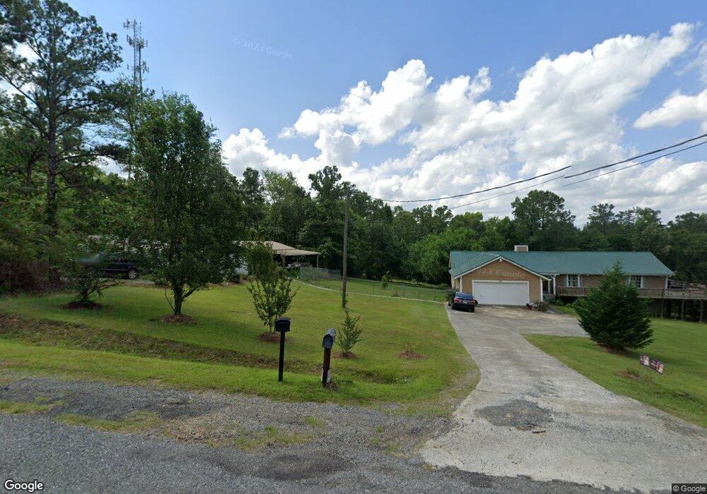
302 Riverbend Dr Macon, GA 31211
Estimated Value: $314,000 - $486,633
--
Bed
3
Baths
3,424
Sq Ft
$118/Sq Ft
Est. Value
About This Home
This home is located at 302 Riverbend Dr, Macon, GA 31211 and is currently estimated at $405,658, approximately $118 per square foot. 302 Riverbend Dr is a home with nearby schools including Dames Ferry Elementary School, Clifton Ridge Middle School, and Jones County High School.
Ownership History
Date
Name
Owned For
Owner Type
Purchase Details
Closed on
Jun 29, 2012
Sold by
Warshaw Nathan A
Bought by
Ladson Scrap and Ladson Katharine W
Current Estimated Value
Home Financials for this Owner
Home Financials are based on the most recent Mortgage that was taken out on this home.
Original Mortgage
$176,800
Outstanding Balance
$125,233
Interest Rate
3.76%
Mortgage Type
New Conventional
Estimated Equity
$280,425
Purchase Details
Closed on
Jan 3, 2008
Sold by
Dulong Sylvia
Bought by
Warshaw Nathan A and Warshaw Kylee A
Create a Home Valuation Report for This Property
The Home Valuation Report is an in-depth analysis detailing your home's value as well as a comparison with similar homes in the area
Home Values in the Area
Average Home Value in this Area
Purchase History
| Date | Buyer | Sale Price | Title Company |
|---|---|---|---|
| Ladson Scrap | $31,500 | -- | |
| Warshaw Nathan A | $64,300 | -- |
Source: Public Records
Mortgage History
| Date | Status | Borrower | Loan Amount |
|---|---|---|---|
| Open | Ladson Scrap | $176,800 |
Source: Public Records
Tax History Compared to Growth
Tax History
| Year | Tax Paid | Tax Assessment Tax Assessment Total Assessment is a certain percentage of the fair market value that is determined by local assessors to be the total taxable value of land and additions on the property. | Land | Improvement |
|---|---|---|---|---|
| 2023 | $4,533 | $129,881 | $14,473 | $115,408 |
| 2022 | $4,507 | $129,158 | $13,750 | $115,408 |
| 2021 | $4,000 | $114,933 | $13,750 | $101,183 |
| 2020 | $4,003 | $114,933 | $13,750 | $101,183 |
| 2019 | $4,003 | $114,933 | $13,750 | $101,183 |
| 2018 | $3,893 | $111,897 | $13,750 | $98,147 |
| 2017 | $3,103 | $89,918 | $13,750 | $76,168 |
| 2016 | $3,103 | $89,918 | $13,750 | $76,168 |
| 2015 | $2,931 | $89,918 | $13,750 | $76,168 |
| 2014 | -- | $89,918 | $13,750 | $76,168 |
Source: Public Records
Map
Nearby Homes
- 299 Riverbend Dr
- 349 Riverbend Dr
- Lot 2 River Bend Dr
- 345 Riverbend Dr
- 397 Riverbend Dr
- 251 River Bend Rd
- 263 Riverbend Dr
- 395 Riverbend Dr
- 215 Riverbend Trail
- 112 Riverbend Way
- 251 River Bend
- 161 Riverbend Trail
- 226 Riverbend Dr
- 250 Riverbend Trail
- 200 204 Riverbend Trail
- 224 Riverbend Trail
- 220 Riverbend Trail
- 200 Riverbend Trail
- 225 Riverbend Trail
- 439 Riverbend Dr Unit I