302 Roy Grindle Rd Dahlonega, GA 30533
Estimated Value: $168,000 - $387,996
--
Bed
2
Baths
1,870
Sq Ft
$169/Sq Ft
Est. Value
About This Home
This home is located at 302 Roy Grindle Rd, Dahlonega, GA 30533 and is currently estimated at $316,249, approximately $169 per square foot. 302 Roy Grindle Rd is a home located in Lumpkin County with nearby schools including Clay County Middle School and Lumpkin County High School.
Ownership History
Date
Name
Owned For
Owner Type
Purchase Details
Closed on
Jun 30, 2021
Sold by
Sturdy Brian
Bought by
Zamarripa Sam and Zamarripa Robin
Current Estimated Value
Purchase Details
Closed on
Apr 29, 2021
Sold by
Sturdy Rodney A
Bought by
Sturdy Brian
Purchase Details
Closed on
Jun 20, 2011
Sold by
Sturdy Brian
Bought by
Sturdy Brian
Purchase Details
Closed on
Oct 17, 2003
Sold by
Nickelson Mary
Bought by
Sturdy Brian
Purchase Details
Closed on
Feb 9, 2000
Bought by
Nickelson Mary
Create a Home Valuation Report for This Property
The Home Valuation Report is an in-depth analysis detailing your home's value as well as a comparison with similar homes in the area
Home Values in the Area
Average Home Value in this Area
Purchase History
| Date | Buyer | Sale Price | Title Company |
|---|---|---|---|
| Zamarripa Sam | $125,000 | -- | |
| Sturdy Brian | -- | -- | |
| Sturdy Brian | -- | -- | |
| Sturdy Brian | $125,000 | -- | |
| Nickelson Mary | -- | -- |
Source: Public Records
Tax History Compared to Growth
Tax History
| Year | Tax Paid | Tax Assessment Tax Assessment Total Assessment is a certain percentage of the fair market value that is determined by local assessors to be the total taxable value of land and additions on the property. | Land | Improvement |
|---|---|---|---|---|
| 2024 | $2,212 | $91,910 | $38,274 | $53,636 |
| 2023 | $2,009 | $85,403 | $35,266 | $50,137 |
| 2022 | $1,238 | $76,558 | $29,388 | $47,170 |
| 2021 | $1,955 | $68,904 | $29,388 | $39,516 |
| 2020 | $1,889 | $66,579 | $28,124 | $38,455 |
| 2019 | $1,889 | $66,579 | $28,124 | $38,455 |
| 2018 | $1,766 | $62,236 | $28,124 | $34,112 |
| 2017 | $0 | $61,943 | $28,124 | $33,819 |
| 2016 | $1,618 | $57,737 | $28,124 | $29,613 |
| 2015 | -- | $57,737 | $28,124 | $29,613 |
| 2014 | -- | $58,332 | $28,124 | $30,208 |
| 2013 | -- | $59,287 | $28,124 | $31,163 |
Source: Public Records
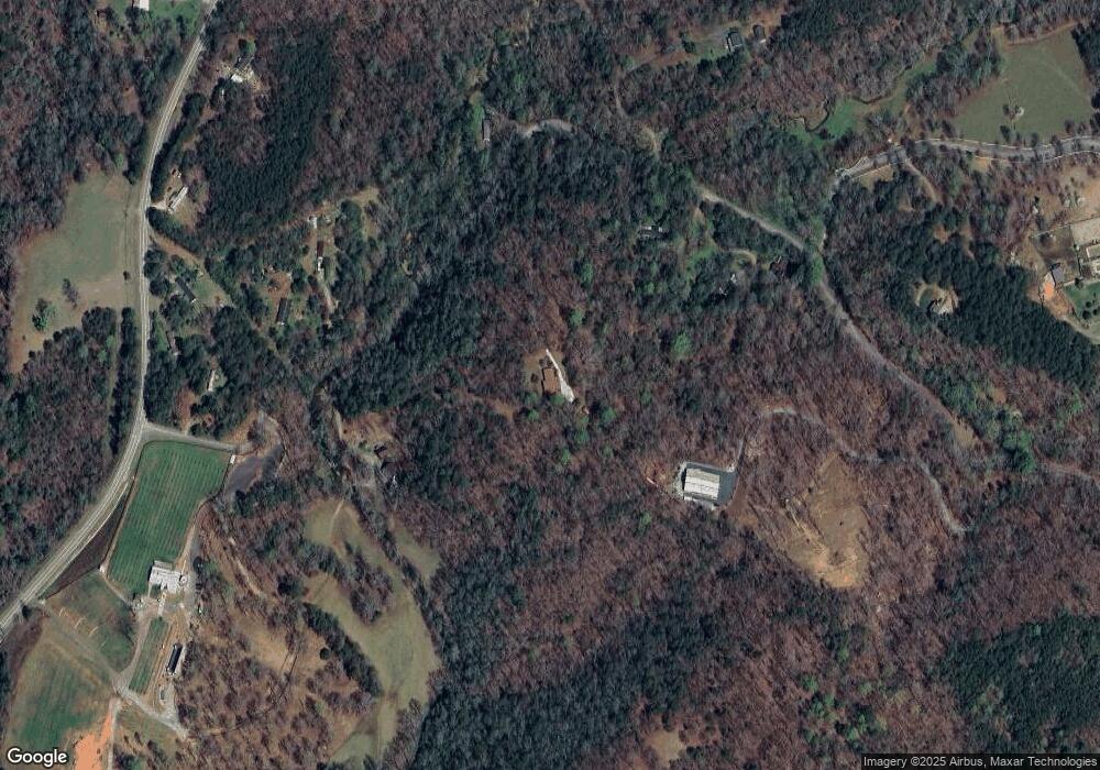
Map
Nearby Homes
- 1063 Grindle Bridge Rd
- 64 Highview Ln
- 0 Horseshoe Bend Rd Unit 10571975
- 0 Horseshoe Bend Rd Unit 7620338
- 349 Hester Rd
- 925 Horseshoe Bend Rd
- 313 Hester Rd
- 651 Hester Rd
- 16 Welch Cir
- 242 Hooper Rd
- 45 Chestatee River Ridge
- 124 Candy Man Ln
- 0 Stancil Dyer Rd Unit 10640477
- 134 Elkmont Dr
- 2717 Damascus Church Rd
- 133 Elkmont Dr
- 120 Brewer Rd
- 748 Damascus Church Rd
- 472 Roy Grindle Rd
- 146 Roy Grindle Rd
- 1906 Town Creek Church Rd
- 375 Roy Grindle Rd
- 483 Roy Grindle Rd
- 1800 Town Creek Church Rd
- 575 Roy Grindle Rd
- 0 Frogtown Rd
- 0 Frogtown Rd Unit 2818859
- 0 Frogtown Rd Unit 3247544
- 0 Frogtown Rd Unit 3774752
- B1 Rivermist Dr
- 2392 Town Creek Church Rd
- 2067 Town Creek Church Rd
- 172 Rivermist Dr
- 302 Rivermist Dr
- 25 Frogtown Rd
- 152 Rivermist Dr
- 481 Roy Grindle Rd
- 2250 Town Creek Church Rd