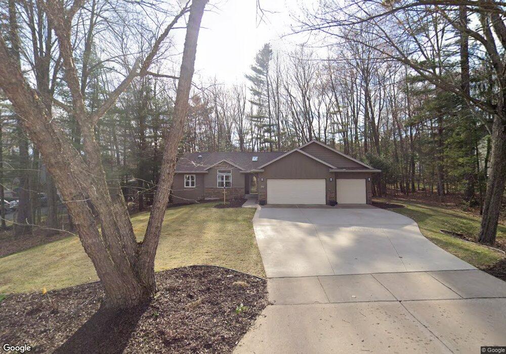
302 S 36th Ave Wausau, WI 54401
Estimated Value: $349,000 - $480,000
3
Beds
2
Baths
2,500
Sq Ft
$156/Sq Ft
Est. Value
About This Home
This home is located at 302 S 36th Ave, Wausau, WI 54401 and is currently estimated at $389,838, approximately $155 per square foot. 302 S 36th Ave is a home located in Marathon County with nearby schools including Stettin Elementary School, John Muir Middle School, and West High School.
Ownership History
Date
Name
Owned For
Owner Type
Purchase Details
Closed on
Aug 30, 2011
Sold by
Milne Mark S and Milne Jamelle K
Bought by
Norrbom Peter and Bastian Michele
Current Estimated Value
Home Financials for this Owner
Home Financials are based on the most recent Mortgage that was taken out on this home.
Original Mortgage
$100,000
Outstanding Balance
$69,549
Interest Rate
4.59%
Mortgage Type
New Conventional
Estimated Equity
$320,289
Create a Home Valuation Report for This Property
The Home Valuation Report is an in-depth analysis detailing your home's value as well as a comparison with similar homes in the area
Home Values in the Area
Average Home Value in this Area
Purchase History
| Date | Buyer | Sale Price | Title Company |
|---|---|---|---|
| Norrbom Peter | $190,000 | None Available |
Source: Public Records
Mortgage History
| Date | Status | Borrower | Loan Amount |
|---|---|---|---|
| Open | Norrbom Peter | $100,000 |
Source: Public Records
Tax History Compared to Growth
Tax History
| Year | Tax Paid | Tax Assessment Tax Assessment Total Assessment is a certain percentage of the fair market value that is determined by local assessors to be the total taxable value of land and additions on the property. | Land | Improvement |
|---|---|---|---|---|
| 2024 | $5,487 | $298,100 | $45,800 | $252,300 |
| 2023 | $5,106 | $213,800 | $51,400 | $162,400 |
| 2022 | $5,139 | $213,800 | $51,400 | $162,400 |
| 2021 | $4,953 | $213,800 | $51,400 | $162,400 |
| 2020 | $5,120 | $213,800 | $51,400 | $162,400 |
| 2019 | $4,909 | $192,900 | $42,500 | $150,400 |
| 2018 | $5,049 | $192,900 | $42,500 | $150,400 |
| 2017 | $4,740 | $192,900 | $42,500 | $150,400 |
| 2016 | $4,599 | $192,900 | $42,500 | $150,400 |
| 2015 | $4,859 | $192,900 | $42,500 | $150,400 |
| 2014 | $4,940 | $205,900 | $47,500 | $158,400 |
Source: Public Records
Map
Nearby Homes
- 310 Lisbeth Rd
- 3401 Christian Ave
- 206 N 44th Ave
- 210 S 45th Ave
- 2812 Hubbill Ave
- 4615 Rib River Trail
- 2102 Wegner St
- 2117 Sherman St
- 5713 Birchwood Dr
- 1708 Pardee St
- 210 Bluestone Dr
- 213 N 17th Ave
- 303 Rimrock Rd
- 6007 Birchwood Dr
- 212 Windtree Dr
- 931 S 14th Ave
- 1016 Stewart Ave
- 501 N 12th Ave
- 1505 Graham St
- 6011 Stettin Dr
- 308 S 36th Ave
- 208 S 36th Ave
- 301 S Emerald Dr
- 202 S 36th Ave
- 402 S 36th Ave
- 207 S Emerald Dr
- 307 S Emerald Dr
- 301 S 36th Ave
- 305 S 36th Ave
- 201 S Emerald Dr
- 401 S Emerald Dr
- 311 S 36th Ave
- 3507 Springdale Ave
- 116 S 36th Ave
- 408 S 36th Ave
- 119 S Emerald Dr
- 407 S Emerald Dr
- 401 S 36th Ave
- 220 Lisbeth Rd
- 107 S 36th Ave