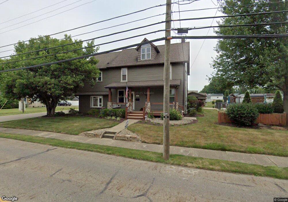
302 S Nickelplate St Louisville, OH 44641
Estimated Value: $258,000 - $291,994
3
Beds
3
Baths
2,864
Sq Ft
$98/Sq Ft
Est. Value
About This Home
This home is located at 302 S Nickelplate St, Louisville, OH 44641 and is currently estimated at $280,749, approximately $98 per square foot. 302 S Nickelplate St is a home located in Stark County with nearby schools including Louisville High School and St. Thomas Aquinas High School & Middle School.
Ownership History
Date
Name
Owned For
Owner Type
Purchase Details
Closed on
May 5, 2004
Sold by
Leatherberry Matthew T and Mccombs Amelia C
Bought by
Leatherberry Matthew T and Leatherberry Amelia C
Current Estimated Value
Home Financials for this Owner
Home Financials are based on the most recent Mortgage that was taken out on this home.
Original Mortgage
$97,000
Outstanding Balance
$45,479
Interest Rate
5.5%
Mortgage Type
Stand Alone Refi Refinance Of Original Loan
Estimated Equity
$235,270
Purchase Details
Closed on
Mar 10, 2003
Sold by
Mercier William P and Mercier Lori J
Bought by
Leatherberry Matthew T and Mccombs Amelia C
Home Financials for this Owner
Home Financials are based on the most recent Mortgage that was taken out on this home.
Original Mortgage
$78,250
Interest Rate
6%
Mortgage Type
Purchase Money Mortgage
Purchase Details
Closed on
Feb 22, 1994
Create a Home Valuation Report for This Property
The Home Valuation Report is an in-depth analysis detailing your home's value as well as a comparison with similar homes in the area
Home Values in the Area
Average Home Value in this Area
Purchase History
| Date | Buyer | Sale Price | Title Company |
|---|---|---|---|
| Leatherberry Matthew T | -- | Wexford Title Agency | |
| Leatherberry Matthew T | $80,700 | -- | |
| -- | $76,500 | -- |
Source: Public Records
Mortgage History
| Date | Status | Borrower | Loan Amount |
|---|---|---|---|
| Open | Leatherberry Matthew T | $97,000 | |
| Closed | Leatherberry Matthew T | $78,250 |
Source: Public Records
Tax History Compared to Growth
Tax History
| Year | Tax Paid | Tax Assessment Tax Assessment Total Assessment is a certain percentage of the fair market value that is determined by local assessors to be the total taxable value of land and additions on the property. | Land | Improvement |
|---|---|---|---|---|
| 2025 | -- | $78,340 | $16,770 | $61,570 |
| 2024 | -- | $78,340 | $16,770 | $61,570 |
| 2023 | $2,867 | $63,420 | $15,820 | $47,600 |
| 2022 | $2,736 | $63,420 | $15,820 | $47,600 |
| 2021 | $2,749 | $63,530 | $15,820 | $47,710 |
| 2020 | $2,331 | $58,530 | $14,250 | $44,280 |
| 2019 | $2,341 | $39,950 | $12,920 | $27,030 |
| 2018 | $1,593 | $39,950 | $12,920 | $27,030 |
| 2017 | $1,469 | $35,540 | $11,340 | $24,200 |
| 2016 | $1,499 | $35,540 | $11,340 | $24,200 |
| 2015 | $1,504 | $35,540 | $11,340 | $24,200 |
| 2014 | $1,399 | $30,730 | $9,800 | $20,930 |
| 2013 | $703 | $30,730 | $9,800 | $20,930 |
Source: Public Records
Map
Nearby Homes
- 308 Superior St
- 641 S Nickelplate St
- 520 S Silver St
- 728 E Broad St
- 0 Michigan Blvd
- 1715 High St
- 1812 E Broad St
- 325 Lincoln Ave
- 204 E Broad St
- 107 E Broad St
- 2015 E Main St
- 1170 Winding Ridge Ave
- 910 Crosswyck Cir
- 2110 Edmar St
- 908 Sand Lot Cir
- 428 Honeycrisp Dr NE
- 3047 Mcintosh Dr NE
- 432 Honeycrisp Dr NE
- 2962 Mcintosh Dr NE
- 2963 Mcintosh Dr NE
- 314 S Nickelplate St
- 1207 Gulling Ave
- 1216 Gulling Ave
- 1217 Gulling Ave
- 1215 Monter Ave
- 303 S Nickelplate St
- 307 S Nickelplate St
- 1205 Monter Ave
- 245 S Nickelplate St
- 1222 Gulling Ave
- 241 S Nickelplate St
- 313 S Nickelplate St
- 237 S Nickelplate St
- 1223 Gulling Ave
- 1221 Monter Ave
- 226 S Nickelplate St
- 233 S Nickelplate St
- 1304 Gulling Ave
- 319 S Nickelplate St
- 1303 Gulling Ave