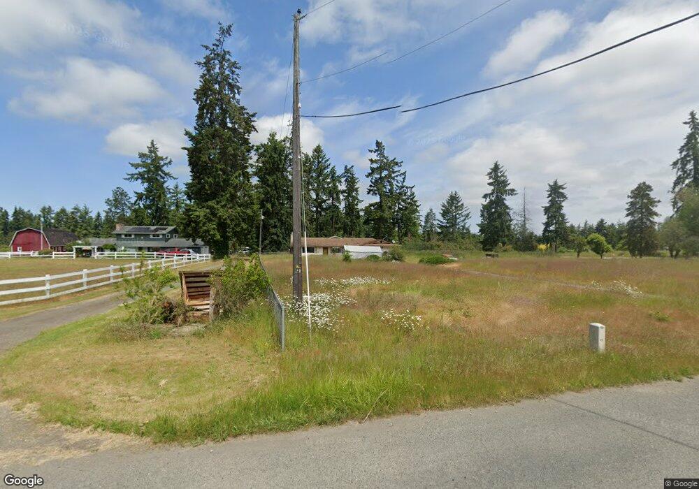
302 Secor Rd Sequim, WA 98382
Estimated Value: $443,000 - $559,000
3
Beds
2
Baths
1,280
Sq Ft
$396/Sq Ft
Est. Value
About This Home
This home is located at 302 Secor Rd, Sequim, WA 98382 and is currently estimated at $506,899, approximately $396 per square foot. 302 Secor Rd is a home located in Clallam County with nearby schools including Greywolf Elementary School, Sequim Middle School, and Sequim Senior High School.
Ownership History
Date
Name
Owned For
Owner Type
Purchase Details
Closed on
Oct 18, 2016
Sold by
Moore Gaye E
Bought by
Bornholdt Anne
Current Estimated Value
Home Financials for this Owner
Home Financials are based on the most recent Mortgage that was taken out on this home.
Original Mortgage
$238,000
Outstanding Balance
$190,923
Interest Rate
3.48%
Mortgage Type
New Conventional
Estimated Equity
$315,976
Purchase Details
Closed on
Jun 13, 2013
Sold by
Moore Donald W
Bought by
Moore Gaye E
Create a Home Valuation Report for This Property
The Home Valuation Report is an in-depth analysis detailing your home's value as well as a comparison with similar homes in the area
Purchase History
| Date | Buyer | Sale Price | Title Company |
|---|---|---|---|
| Bornholdt Anne | $238,000 | Olympic Peninsula Title | |
| Moore Gaye E | -- | None Available |
Source: Public Records
Mortgage History
| Date | Status | Borrower | Loan Amount |
|---|---|---|---|
| Open | Bornholdt Anne | $238,000 |
Source: Public Records
Tax History
| Year | Tax Paid | Tax Assessment Tax Assessment Total Assessment is a certain percentage of the fair market value that is determined by local assessors to be the total taxable value of land and additions on the property. | Land | Improvement |
|---|---|---|---|---|
| 2025 | $3,483 | $462,717 | $103,534 | $359,183 |
| 2023 | $3,483 | $461,654 | $103,534 | $358,120 |
| 2022 | $3,616 | $444,191 | $86,071 | $358,120 |
| 2021 | $3,106 | $391,678 | $68,607 | $323,071 |
| 2020 | $3,218 | $307,904 | $62,370 | $245,534 |
| 2018 | $2,693 | $269,278 | $62,370 | $206,908 |
| 2017 | $1,812 | $243,037 | $62,370 | $180,667 |
| 2016 | $1,812 | $241,896 | $62,370 | $179,526 |
| 2015 | $1,812 | $186,695 | $62,370 | $124,325 |
| 2013 | $1,812 | $170,253 | $69,660 | $100,593 |
| 2012 | $1,812 | $178,360 | $81,000 | $97,360 |
Source: Public Records
Map
Nearby Homes
- 258 Dungeness Meadows
- 63 Avellana Rd
- 752 River Rd
- 1239 River Rd
- 314 Dungeness Meadows
- 72 W Quail Ln
- 9999 Happy Valley Rd
- 77 Road Less Traveled Way
- 151 Valley View Dr
- 2270 S 7th Ave
- 4 Gillis Ave
- 9999 S 7th Ave
- 1 Lot Sunny Dell Ln
- Lot 1 Sunny Dell Ln
- 645 Gooseberry Place
- 637 Gooseberry Place
- 9999 Ferndale Dr
- 634 Gooseberry Place
- 621 Gooseberry Place
- 626 Gooseberry Place
Your Personal Tour Guide
Ask me questions while you tour the home.