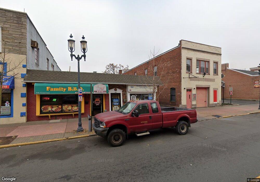
302 Somerset St Unit 1 North Plainfield, NJ 07060
Estimated Value: $398,501
--
Bed
--
Bath
--
Sq Ft
6,752
Sq Ft Lot
About This Home
This home is located at 302 Somerset St Unit 1, North Plainfield, NJ 07060 and is currently estimated at $398,501. 302 Somerset St Unit 1 is a home located in Somerset County with nearby schools including Somerset Intermediate School, North Plainfield Middle/High School, and North Plainfield Middle School.
Ownership History
Date
Name
Owned For
Owner Type
Purchase Details
Closed on
Jan 18, 2011
Sold by
Pinto Esteban
Bought by
Robles Tania and Kahe Jamshid
Current Estimated Value
Purchase Details
Closed on
Dec 13, 2010
Sold by
Robles Tania and Kahe Jamshid
Bought by
Pinto Esteban
Purchase Details
Closed on
Jun 12, 2002
Sold by
Plg Llc
Bought by
Robles Tamia and Kahe Jamshid
Home Financials for this Owner
Home Financials are based on the most recent Mortgage that was taken out on this home.
Original Mortgage
$135,000
Interest Rate
6.8%
Mortgage Type
Commercial
Create a Home Valuation Report for This Property
The Home Valuation Report is an in-depth analysis detailing your home's value as well as a comparison with similar homes in the area
Home Values in the Area
Average Home Value in this Area
Purchase History
| Date | Buyer | Sale Price | Title Company |
|---|---|---|---|
| Robles Tania | -- | None Available | |
| Pinto Esteban | -- | None Available | |
| Robles Tamia | $180,000 | -- |
Source: Public Records
Mortgage History
| Date | Status | Borrower | Loan Amount |
|---|---|---|---|
| Previous Owner | Robles Tamia | $135,000 |
Source: Public Records
Tax History Compared to Growth
Tax History
| Year | Tax Paid | Tax Assessment Tax Assessment Total Assessment is a certain percentage of the fair market value that is determined by local assessors to be the total taxable value of land and additions on the property. | Land | Improvement |
|---|---|---|---|---|
| 2025 | $10,895 | $250,000 | $100,000 | $150,000 |
| 2024 | $10,895 | $250,000 | $100,000 | $150,000 |
| 2023 | $10,623 | $250,000 | $100,000 | $150,000 |
| 2022 | $10,203 | $250,000 | $100,000 | $150,000 |
| 2021 | $10,073 | $250,000 | $100,000 | $150,000 |
| 2020 | $9,780 | $250,000 | $100,000 | $150,000 |
| 2019 | $9,520 | $250,000 | $100,000 | $150,000 |
| 2018 | $9,318 | $250,000 | $100,000 | $150,000 |
| 2017 | $9,438 | $250,000 | $100,000 | $150,000 |
| 2016 | $8,973 | $250,000 | $100,000 | $150,000 |
| 2015 | $8,593 | $250,000 | $100,000 | $150,000 |
| 2014 | $15,638 | $476,900 | $160,000 | $316,900 |
Source: Public Records
Map
Nearby Homes
- 28 Harmony St
- 37 Harmony St
- 401 Highway22b21u3ondo
- 401 Highway22b25u4ondo Unit 25D
- 126 Duer St
- 50 Linden Ave
- 29 Pearl St
- 26 Summit Ave
- 64 Washington Ave
- 105 Grandview Ave
- 74 Mercer Ave
- 153 Westervelt Ave
- 34 Rockview Ave
- 277 Watchung Ave
- 163 Delacy Ave
- 104 Sandford Ave Unit 6
- 154 Sandford Ave
- 301 Duer St
- 335 E Front St
- 560 W Front St
- 14 Jackson Ave
- 16 Jackson Ave
- 285 Somerset St Unit 103
- 20 Jackson Ave
- 332 Somerset St
- 21 Manning Ave
- 15 Jackson Ave
- 22 Jackson Ave
- 20 Vine St
- 23 Manning Ave
- 20 Park Place
- 14-18 Manning Ave
- 21 Jackson Ave Unit 23
- 14 Manning Ave Unit 18
- 17 Jackson Ave Unit 19
- 22 Park Place
- 26 Jackson Ave
- 20-22 Manning Ave
- 342 Somerset St Unit 344
- 20 Manning Ave Unit 22