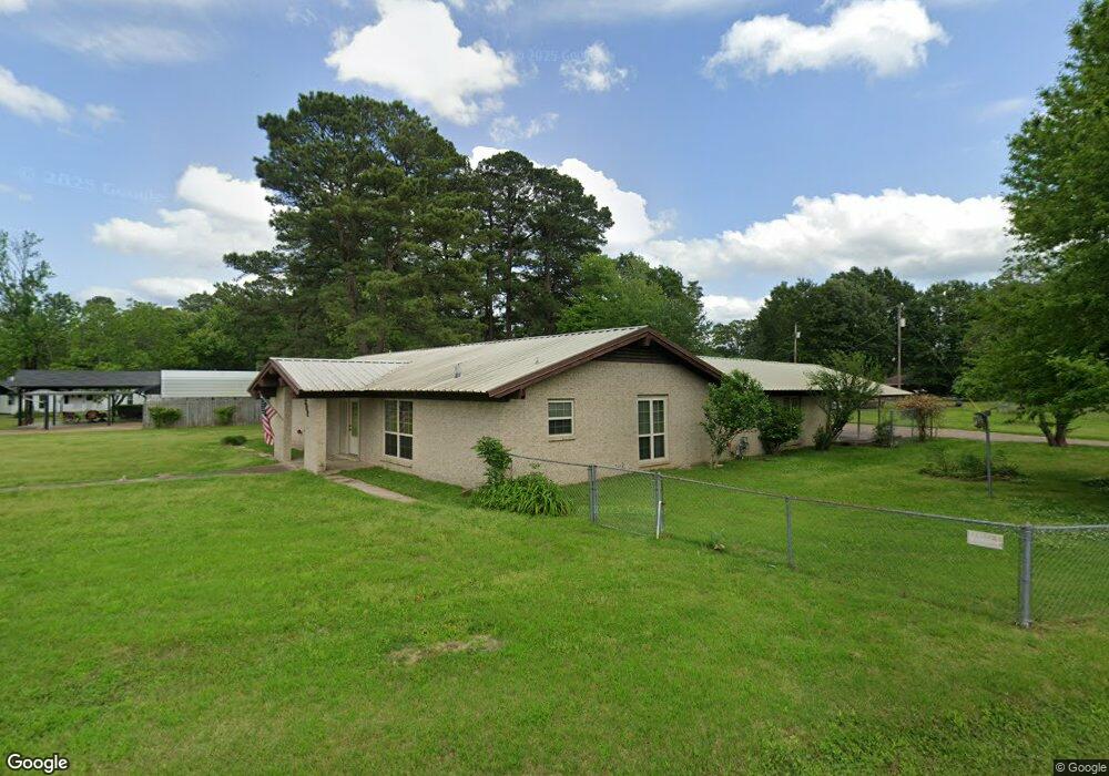
302 Starlite Dr Texarkana, TX 75501
Estimated Value: $240,547 - $300,000
--
Bed
--
Bath
2,580
Sq Ft
$105/Sq Ft
Est. Value
About This Home
This home is located at 302 Starlite Dr, Texarkana, TX 75501 and is currently estimated at $270,387, approximately $104 per square foot. 302 Starlite Dr is a home located in Bowie County with nearby schools including Liberty-Eylau Early Childhood Center, Liberty-Eylau Primary School, and Liberty-Eylau C.K. Bender Elementary Campus.
Ownership History
Date
Name
Owned For
Owner Type
Purchase Details
Closed on
Jun 10, 2014
Sold by
Taylor Charles Keith and Taylor Charlene Ann
Bought by
Veterans Land Board Of The State Of Texa
Current Estimated Value
Purchase Details
Closed on
Nov 30, 2012
Sold by
Rayburn Michael Edward and Rayburn Cherry
Bought by
Taylor Charles and Taylor Charlene
Home Financials for this Owner
Home Financials are based on the most recent Mortgage that was taken out on this home.
Original Mortgage
$42,750
Interest Rate
3.42%
Mortgage Type
New Conventional
Purchase Details
Closed on
Mar 31, 2011
Sold by
Tiffie Joy
Bought by
Mcleod Teresa J
Purchase Details
Closed on
Sep 12, 2008
Sold by
Mcleod Teresa J
Bought by
Tiffie Joy
Create a Home Valuation Report for This Property
The Home Valuation Report is an in-depth analysis detailing your home's value as well as a comparison with similar homes in the area
Home Values in the Area
Average Home Value in this Area
Purchase History
| Date | Buyer | Sale Price | Title Company |
|---|---|---|---|
| Veterans Land Board Of The State Of Texa | -- | None Available | |
| Taylor Charles | $42,750 | None Available | |
| Mcleod Teresa J | -- | None Available | |
| Tiffie Joy | -- | None Available |
Source: Public Records
Mortgage History
| Date | Status | Borrower | Loan Amount |
|---|---|---|---|
| Previous Owner | Taylor Charles | $42,750 |
Source: Public Records
Tax History Compared to Growth
Tax History
| Year | Tax Paid | Tax Assessment Tax Assessment Total Assessment is a certain percentage of the fair market value that is determined by local assessors to be the total taxable value of land and additions on the property. | Land | Improvement |
|---|---|---|---|---|
| 2025 | $414 | $225,871 | -- | -- |
| 2024 | $414 | $205,337 | $16,000 | $215,403 |
| 2023 | $2,789 | $186,670 | $0 | $0 |
| 2022 | $2,924 | $193,765 | $16,000 | $177,765 |
| 2021 | $2,826 | $154,273 | $14,500 | $139,773 |
| 2020 | $2,734 | $148,125 | $14,500 | $133,625 |
| 2019 | $2,764 | $142,280 | $14,500 | $127,780 |
| 2018 | $2,677 | $137,794 | $14,500 | $123,294 |
| 2017 | $2,655 | $137,204 | $14,500 | $122,704 |
| 2016 | $2,655 | $137,204 | $14,500 | $122,704 |
| 2015 | $1,357 | $136,104 | $14,500 | $121,604 |
| 2014 | $1,357 | $131,860 | $14,500 | $117,360 |
Source: Public Records
Map
Nearby Homes
- 403 Brookfield St
- 101 Redwood Dr
- 2043 Randall Rd
- 6514 Buchanan Loop Rd
- 6 Southridge St
- 194 W Starlite Dr
- 144 Joe Tyl Rd
- 280 Patriot Way
- 0 Randall Rd
- 6815 Buchanan Loop Rd
- 6606 Us-59
- 6606 Us Highway 59 S
- lot15 B2 Quail Brook
- lot15 B1 Quail Brook
- lot14 B2 Quail Brook
- Lot 1 B2 Quail Brook
- 7689 Us-59
- 39 Quail Brook Dr
- 7685 State Highway 59
- 206 Fm 3244
- 304 Starlite Dr
- 214 Starlite Dr
- 404 Brookfield St
- 212 Starlite Dr
- 127 Fairway St
- 101 Alpine Dr
- 205 Fairway St
- 125 Fairway St
- 213 Starlite Dr
- 408 Brookfield St
- 215 Starlite Dr
- 210 Starlite Dr
- 401 Brookfield St
- 407 Brookfield St
- 306 Brookfield St
- 207 Fairway St
- 123 Fairway St
- 211 Starlite Dr
- 410 Brookfield St
- 208 Starlite Dr