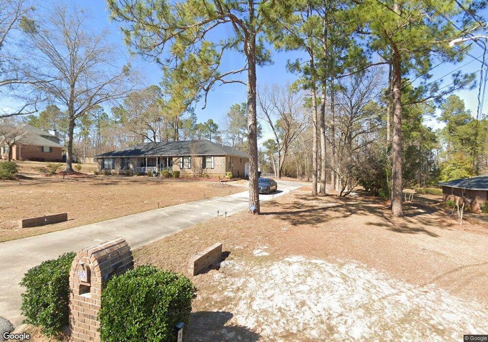
302 Stewart Dr Warner Robins, GA 31093
Estimated Value: $223,820 - $312,000
Studio
1
Bath
1,861
Sq Ft
$136/Sq Ft
Est. Value
About This Home
This home is located at 302 Stewart Dr, Warner Robins, GA 31093 and is currently estimated at $252,955, approximately $135 per square foot. 302 Stewart Dr is a home located in Houston County with nearby schools including Northside Elementary School, Northside Middle School, and Northside High School.
Ownership History
Date
Name
Owned For
Owner Type
Purchase Details
Closed on
Dec 8, 1994
Sold by
Corrective Deed
Bought by
Walker Angela N
Current Estimated Value
Purchase Details
Closed on
Sep 10, 1993
Sold by
Gay John H and Floyd Harry*
Bought by
Walker Angela N
Purchase Details
Closed on
Mar 30, 1993
Sold by
Wells Ralph O and Wells Carolyn T
Bought by
Gay John H and Floyd Harry*
Purchase Details
Closed on
Jun 14, 1978
Sold by
Clements Elton L
Bought by
Wells Ralph O and Wells Carolyn T
Create a Home Valuation Report for This Property
The Home Valuation Report is an in-depth analysis detailing your home's value as well as a comparison with similar homes in the area
Home Values in the Area
Average Home Value in this Area
Purchase History
| Date | Buyer | Sale Price | Title Company |
|---|---|---|---|
| Walker Angela N | -- | -- | |
| Walker Angela N | $87,000 | -- | |
| Gay John H | $15,000 | -- | |
| Wells Ralph O | -- | -- |
Source: Public Records
Tax History
| Year | Tax Paid | Tax Assessment Tax Assessment Total Assessment is a certain percentage of the fair market value that is determined by local assessors to be the total taxable value of land and additions on the property. | Land | Improvement |
|---|---|---|---|---|
| 2025 | -- | $70,120 | $8,800 | $61,320 |
| 2024 | -- | $67,320 | $8,800 | $58,520 |
| 2023 | $0 | $55,440 | $8,800 | $46,640 |
| 2022 | $1,211 | $50,120 | $8,080 | $42,040 |
| 2021 | $1,142 | $47,000 | $8,080 | $38,920 |
| 2020 | $1,166 | $47,760 | $8,080 | $39,680 |
| 2019 | $1,166 | $47,760 | $8,080 | $39,680 |
| 2018 | $1,166 | $47,760 | $8,080 | $39,680 |
| 2017 | $1,167 | $47,760 | $8,080 | $39,680 |
| 2016 | $1,169 | $47,760 | $8,080 | $39,680 |
| 2015 | $1,171 | $47,760 | $8,080 | $39,680 |
| 2014 | -- | $47,760 | $8,080 | $39,680 |
| 2013 | -- | $47,760 | $8,080 | $39,680 |
Source: Public Records
Map
Nearby Homes
- 201 Custer Dr
- 103 Echeconnee Ridge Rd
- 308 Air View Dr Unit 5
- 324 Air View Dr Unit 13
- 322 Air View Dr Unit 12
- 312 Air View Dr Unit 7
- 310 Air View Dr Unit 6
- 304 Air View Dr Unit 3
- 304 Air View Dr
- 312 Air View Dr
- 310 Air View Dr
- 203 River Birch Way
- 223 River Birch Way
- 113 Calpurnia St
- 205 River Birch Way
- 106 Winged Elm Grove
- 116 Majestic Trail
- 98 Waterfront Way
- 527 Sullivan Rd
- 110 Stonefield Ct
- 151 Stewart Dr
- 153 Stewart Dr
- 155 Stewart Dr
- 158 Stewart Dr
- 154 Stewart Dr
- 149 Stewart Dr
- 152 Stewart Dr
- 157 Stewart Dr
- 147 Stewart Dr
- 102 Arrow Wood Ct
- 150 Stewart Dr
- 162 Stewart Dr
- 145 Stewart Dr
- 148 Stewart Dr
- 104 Stewart Ct
- 164 Stewart Dr
- 161 Stewart Dr
- 163 Stewart Dr
- 141 Stewart Dr
- 101 Stewart Ct
Your Personal Tour Guide
Ask me questions while you tour the home.