302 Summit Ridge Dr Tahlequah, OK 74464
Estimated Value: $160,000 - $278,146
3
Beds
2
Baths
1,658
Sq Ft
$120/Sq Ft
Est. Value
About This Home
This home is located at 302 Summit Ridge Dr, Tahlequah, OK 74464 and is currently estimated at $199,287, approximately $120 per square foot. 302 Summit Ridge Dr is a home located in Cherokee County with nearby schools including Cherokee Elementary School, Greenwood Elementary School, and Tahlequah Middle School.
Ownership History
Date
Name
Owned For
Owner Type
Purchase Details
Closed on
Feb 15, 2008
Sold by
Wilson Edward O and The 1996 Revocable Trust Of Ed
Bought by
Jones Jennifer and Jones Phil
Current Estimated Value
Home Financials for this Owner
Home Financials are based on the most recent Mortgage that was taken out on this home.
Original Mortgage
$85,747
Interest Rate
6.07%
Mortgage Type
New Conventional
Purchase Details
Closed on
Apr 11, 2007
Sold by
Kerns Marion J and Kerns Barbara J
Bought by
Jones Randy and Jones Jennifer
Purchase Details
Closed on
May 19, 2004
Sold by
Edward and Theresa Wilson
Bought by
Edward&Theresa Wilson Tr
Purchase Details
Closed on
Feb 27, 2004
Sold by
Theresa&Edward Wilson Tr
Bought by
Edward and Theresa Wilson
Purchase Details
Closed on
Sep 5, 2003
Sold by
Edward and Theresa Wilson
Bought by
Edward&Theresa Wilson Tr
Purchase Details
Closed on
Aug 14, 2003
Sold by
E & T Wilson Trust
Bought by
Edward and Theresa Wilson
Purchase Details
Closed on
Nov 6, 2002
Sold by
Edward and Theresa Wilson
Bought by
E & T Wilson Trust
Create a Home Valuation Report for This Property
The Home Valuation Report is an in-depth analysis detailing your home's value as well as a comparison with similar homes in the area
Home Values in the Area
Average Home Value in this Area
Purchase History
| Date | Buyer | Sale Price | Title Company |
|---|---|---|---|
| Jones Jennifer | $95,500 | Tahlequah Abstract Closing S | |
| Jones Randy | -- | None Available | |
| Edward&Theresa Wilson Tr | -- | -- | |
| Edward | -- | -- | |
| Edward&Theresa Wilson Tr | -- | -- | |
| Edward | -- | -- | |
| E & T Wilson Trust | -- | -- | |
| Edward | $79,500 | -- |
Source: Public Records
Mortgage History
| Date | Status | Borrower | Loan Amount |
|---|---|---|---|
| Previous Owner | Jones Jennifer | $85,747 |
Source: Public Records
Tax History Compared to Growth
Tax History
| Year | Tax Paid | Tax Assessment Tax Assessment Total Assessment is a certain percentage of the fair market value that is determined by local assessors to be the total taxable value of land and additions on the property. | Land | Improvement |
|---|---|---|---|---|
| 2025 | $927 | $9,930 | $1,043 | $8,887 |
| 2024 | $896 | $9,458 | $994 | $8,464 |
| 2023 | $896 | $9,008 | $795 | $8,213 |
| 2022 | $836 | $9,008 | $795 | $8,213 |
| 2021 | $839 | $9,008 | $795 | $8,213 |
| 2020 | $854 | $9,008 | $795 | $8,213 |
| 2019 | $847 | $9,017 | $795 | $8,222 |
| 2018 | $857 | $9,017 | $795 | $8,222 |
| 2017 | $987 | $10,405 | $795 | $9,610 |
| 2016 | $966 | $10,117 | $795 | $9,322 |
| 2015 | $904 | $9,636 | $795 | $8,841 |
| 2014 | $907 | $9,636 | $795 | $8,841 |
Source: Public Records
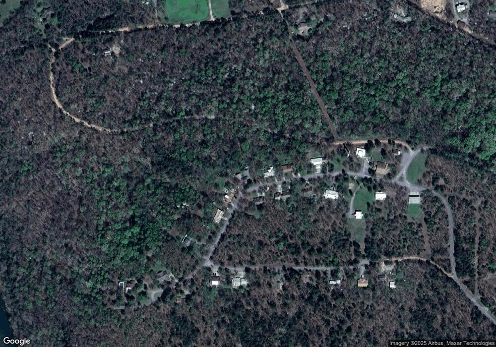
Map
Nearby Homes
- 105 Summit Ridge Dr
- 912 Summit Ridge Ct
- 206 Alder Way
- 202 Alder Way
- 0 Alder Way
- 13468 Hwy 10
- 13468 Oklahoma 10
- 21088 E Steely Hollow Rd
- 462548 E 635 Rd
- 13725 N 527 Rd
- 19645 E Steely Hollow Rd
- 20819 E Steely Hollow Rd
- TBD Blk 1 Lot 11 E Steely Hollow Rd
- TBD Blk 1 Lot 4 E Steely Hollow Rd
- TBD BLK 1 Lot 10 E Steely Hollow Rd
- TBD BLK 1 Lot 9 E Steely Hollow Rd
- TBD Blk 1 Lot 1 E Steely Hollow Rd
- TBD BLK 1 Lot 2 E Steely Hollow Rd
- TBD Blk 1 Lot 6 E Steely Hollow Rd
- TBD Blk 1 Lot 8 E Steely Hollow Rd
- 304 Summit Ridge Dr
- 208 Summit Ridge Dr
- 206 Summit Ridge Dr
- 306 Summit Ridge Dr
- 303 Summit Ridge Dr
- 308 Summit Ridge Dr
- 204 Summit Ridge Dr
- 301 Summit Ridge Dr
- 202 Summit Ridge Dr
- 201 Summit Ridge Dr
- 205 Summit Ridge Dr
- 402 Summit Ridge Dr
- 203 Summit Ridge Dr
- 107 Summit Ridge Dr
- 404 Summit Ridge Dr
- 106 Summit Ridge Dr
- 104 Summit Ridge Dr
- 102 Summit Ridge Dr
- 103 Summit Ridge Dr
- 502 Summit Ridge Dr