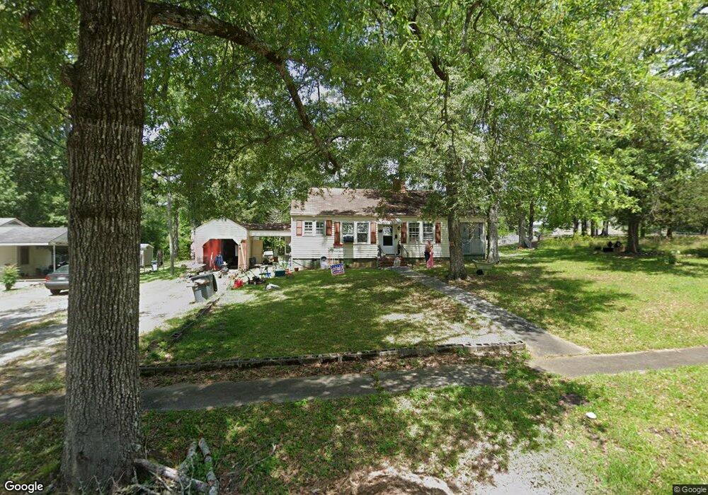
302 Thornton St Union Point, GA 30669
Estimated Value: $137,073 - $210,000
2
Beds
2
Baths
1,238
Sq Ft
$150/Sq Ft
Est. Value
About This Home
This home is located at 302 Thornton St, Union Point, GA 30669 and is currently estimated at $185,768, approximately $150 per square foot. 302 Thornton St is a home located in Greene County with nearby schools including Greene County High School.
Ownership History
Date
Name
Owned For
Owner Type
Purchase Details
Closed on
Jun 9, 2005
Sold by
West Roger V
Bought by
Mapp Ossie
Current Estimated Value
Home Financials for this Owner
Home Financials are based on the most recent Mortgage that was taken out on this home.
Original Mortgage
$38,350
Interest Rate
5.7%
Mortgage Type
New Conventional
Purchase Details
Closed on
Feb 10, 2004
Sold by
Batson Mamie
Bought by
West Roger V and Shirley Gentry
Purchase Details
Closed on
Jan 1, 1978
Sold by
Turner Eddy and Arlene
Bought by
Batson Mamie
Purchase Details
Closed on
Jan 1, 1977
Sold by
Turner Roy L
Bought by
Turner Eddy and Arlene
Purchase Details
Closed on
Jan 1, 1956
Bought by
Turner Roy L
Create a Home Valuation Report for This Property
The Home Valuation Report is an in-depth analysis detailing your home's value as well as a comparison with similar homes in the area
Home Values in the Area
Average Home Value in this Area
Purchase History
| Date | Buyer | Sale Price | Title Company |
|---|---|---|---|
| Mapp Ossie | $41,500 | -- | |
| West Roger V | -- | -- | |
| Batson Mamie | -- | -- | |
| Turner Eddy | -- | -- | |
| Turner Roy L | -- | -- |
Source: Public Records
Mortgage History
| Date | Status | Borrower | Loan Amount |
|---|---|---|---|
| Closed | Mapp Ossie | $38,350 |
Source: Public Records
Tax History Compared to Growth
Tax History
| Year | Tax Paid | Tax Assessment Tax Assessment Total Assessment is a certain percentage of the fair market value that is determined by local assessors to be the total taxable value of land and additions on the property. | Land | Improvement |
|---|---|---|---|---|
| 2024 | $937 | $31,720 | $2,800 | $28,920 |
| 2023 | $696 | $30,400 | $2,800 | $27,600 |
| 2022 | $655 | $28,160 | $2,800 | $25,360 |
| 2021 | $717 | $25,440 | $2,800 | $22,640 |
| 2020 | $502 | $16,760 | $2,680 | $14,080 |
| 2019 | $517 | $16,760 | $2,680 | $14,080 |
| 2018 | $378 | $16,760 | $2,680 | $14,080 |
| 2017 | $461 | $16,570 | $2,700 | $13,870 |
| 2016 | $480 | $17,215 | $2,700 | $14,515 |
| 2015 | $448 | $17,215 | $2,700 | $14,515 |
| 2014 | $451 | $16,936 | $2,700 | $14,236 |
Source: Public Records
Map
Nearby Homes
- 324 N Rhodes St
- 202 Veazey St
- 0 Woodland Ct Unit 10543600
- 215 Hunter St
- 112 Hendry St
- 0 S Rhodes St Unit 10618488
- 0 Washington Hwy Unit 7276060
- 1041 Hillcrest Dr
- 1241 Old Siloam Rd
- 1860 Washington Hwy
- 1581 Highway 77 S Hwy
- 1581 Highway 77 S
- 5401 Union Point Hwy
- 1201 Buffalo Lick Rd
- 0 Buffalo Lick Rd Unit 10551234
- 0 Buffalo Lick Rd Unit 10551325
- 1251 Adams Rd
- 0 Old Union Point Rd Unit 1 10557753
- 1251 Brick House Rd
- 1251 Brickhouse Rd