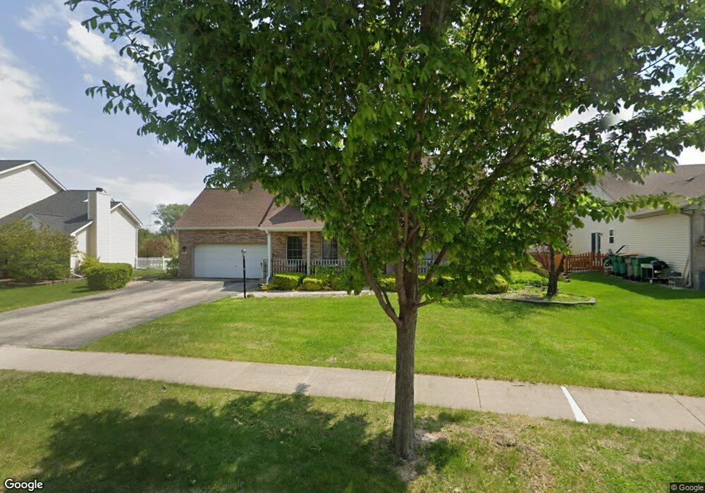
302 Turnbridge Dr Unit 1 Shorewood, IL 60404
Estimated Value: $346,631 - $406,000
--
Bed
--
Bath
2,103
Sq Ft
$180/Sq Ft
Est. Value
About This Home
This home is located at 302 Turnbridge Dr Unit 1, Shorewood, IL 60404 and is currently estimated at $378,908, approximately $180 per square foot. 302 Turnbridge Dr Unit 1 is a home located in Will County with nearby schools including Shorewood Elementary School, Troy Middle School, and Orenic Intermediate School.
Ownership History
Date
Name
Owned For
Owner Type
Purchase Details
Closed on
Jul 9, 1997
Sold by
Oxford Bank & Trust
Bought by
Ciamprone Samuel C and Ciamprone Tina L
Current Estimated Value
Home Financials for this Owner
Home Financials are based on the most recent Mortgage that was taken out on this home.
Original Mortgage
$167,000
Outstanding Balance
$24,314
Interest Rate
7.68%
Estimated Equity
$354,594
Create a Home Valuation Report for This Property
The Home Valuation Report is an in-depth analysis detailing your home's value as well as a comparison with similar homes in the area
Home Values in the Area
Average Home Value in this Area
Purchase History
| Date | Buyer | Sale Price | Title Company |
|---|---|---|---|
| Ciamprone Samuel C | $189,000 | Lawyers Title |
Source: Public Records
Mortgage History
| Date | Status | Borrower | Loan Amount |
|---|---|---|---|
| Open | Ciamprone Samuel C | $167,000 |
Source: Public Records
Tax History Compared to Growth
Tax History
| Year | Tax Paid | Tax Assessment Tax Assessment Total Assessment is a certain percentage of the fair market value that is determined by local assessors to be the total taxable value of land and additions on the property. | Land | Improvement |
|---|---|---|---|---|
| 2024 | $8,198 | $108,383 | $18,444 | $89,939 |
| 2023 | $8,198 | $97,379 | $16,571 | $80,808 |
| 2022 | $7,356 | $92,145 | $15,680 | $76,465 |
| 2021 | $6,903 | $86,684 | $14,751 | $71,933 |
| 2020 | $6,956 | $86,684 | $14,751 | $71,933 |
| 2019 | $6,757 | $83,150 | $14,150 | $69,000 |
| 2018 | $6,869 | $82,250 | $14,150 | $68,100 |
| 2017 | $6,762 | $79,600 | $12,800 | $66,800 |
| 2016 | $6,763 | $77,593 | $12,800 | $64,793 |
| 2015 | $6,085 | $74,645 | $11,495 | $63,150 |
| 2014 | $6,085 | $72,770 | $11,495 | $61,275 |
| 2013 | $6,085 | $72,770 | $11,495 | $61,275 |
Source: Public Records
Map
Nearby Homes
- 1111 Country Dr
- 1204 Glen Mor Dr Unit B
- 110 National Ct
- 1228 Conquest Ct
- 312 Honors Dr
- 7507 Honeysuckle Ln
- 7513 Honeysuckle Ln
- 7510 Currant Dr
- 7510 Honeysuckle Ln
- 613 Rollingwood Dr
- 1719 Moran Dr
- 604 Bethany Dr
- 605 Edgebrook Dr
- 612 Edgebrook Dr
- 1728 Parkside Dr Unit 2
- 813 Bittersweet Ln
- 515 David Dr
- 202 Oak Dr
- 1808 Wintercrest Ct
- 1 AC Jefferson St
- 300 Turnbridge Dr
- Lot 1 River Rd
- 0000 River Rd
- 306 Turnbridge Dr
- 303 Turnbridge Dr
- 305 Turnbridge Dr
- 1127 Moorland Ave
- 1126 Harvest Dr
- 301 Turnbridge Dr
- 214 Turnbridge Dr
- 308 Turnbridge Dr Unit 1
- 213 Turnbridge Dr
- 1125 Moorland Ave Unit 3
- 1124 Harvest Dr
- 212 Turnbridge Dr
- 1126 Moorland Ave Unit 3
- 302 Savoy Dr
- 304 Savoy Dr
- 210 River Rd
- 310 Turnbridge Dr Unit 1