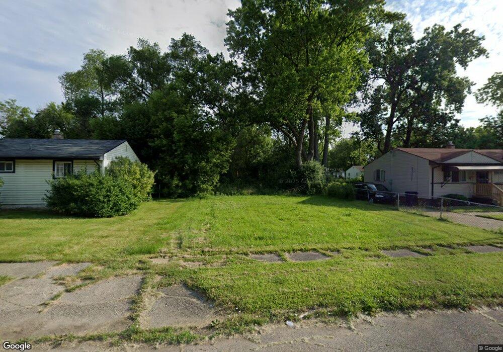
302 W Foss Ave Flint, MI 48505
MLK Circle NeighborhoodEstimated Value: $61,984 - $87,000
3
Beds
1
Bath
1,344
Sq Ft
$52/Sq Ft
Est. Value
About This Home
This home is located at 302 W Foss Ave, Flint, MI 48505 and is currently estimated at $70,328, approximately $52 per square foot. 302 W Foss Ave is a home located in Genesee County with nearby schools including Brownell STEM Academy, The New Standard Academy, and Eagle's Nest Academy.
Ownership History
Date
Name
Owned For
Owner Type
Purchase Details
Closed on
Dec 21, 2009
Sold by
Kildee Daniel T
Bought by
Genesee County Land Bank Authority
Current Estimated Value
Purchase Details
Closed on
Aug 21, 2006
Sold by
Ellison Ola C
Bought by
Verkennes Jason
Create a Home Valuation Report for This Property
The Home Valuation Report is an in-depth analysis detailing your home's value as well as a comparison with similar homes in the area
Home Values in the Area
Average Home Value in this Area
Purchase History
| Date | Buyer | Sale Price | Title Company |
|---|---|---|---|
| Genesee County Land Bank Authority | -- | None Available | |
| Verkennes Jason | $52,000 | Metropolitan Title Company |
Source: Public Records
Tax History Compared to Growth
Tax History
| Year | Tax Paid | Tax Assessment Tax Assessment Total Assessment is a certain percentage of the fair market value that is determined by local assessors to be the total taxable value of land and additions on the property. | Land | Improvement |
|---|---|---|---|---|
| 2025 | -- | $0 | $0 | $0 |
| 2024 | -- | $0 | $0 | $0 |
| 2023 | -- | $0 | $0 | $0 |
| 2022 | $0 | $0 | $0 | $0 |
| 2021 | $0 | $0 | $0 | $0 |
| 2020 | $0 | $0 | $0 | $0 |
| 2019 | $0 | $0 | $0 | $0 |
| 2018 | $0 | $0 | $0 | $0 |
| 2017 | $0 | $0 | $0 | $0 |
| 2016 | $0 | $0 | $0 | $0 |
| 2015 | -- | $0 | $0 | $0 |
| 2014 | -- | $0 | $0 | $0 |
| 2012 | -- | $0 | $0 | $0 |
Source: Public Records
Map
Nearby Homes
- 405 W Lorado Ave
- 405 W Bundy Ave
- 605 W Foss Ave
- 613 W Foss Ave
- 614 W Holbrook Ave
- 525 W Bundy Ave
- 610 W Austin Ave
- 618 W Austin Ave
- 6610 Cranwood Dr
- 536 W Home Ave
- 6702 Cranwood Dr
- 225 E Piper Ave
- 345 E Austin Ave
- 1499 W Juliah Ave
- 421 E Lorado Ave
- 422 E Foss Ave
- 425 E Lorado Ave
- 5714 Suburban Ct
- 6914 Daryll Dr
- 1015 W Carpenter Rd
- 306 W Foss Ave
- 218 W Foss Ave
- 310 W Foss Ave
- 214 W Foss Ave
- 221 W Holbrook Ave
- 305 W Foss Ave
- 217 W Holbrook Ave
- 210 W Foss Ave
- 217 W Foss Ave
- 301 W Foss Ave
- 209 W Holbrook Ave
- 318 W Foss Ave
- 309 W Foss Ave
- 213 W Foss Ave
- 317 W Holbrook Ave
- 313 W Foss Ave
- 209 W Foss Ave
- 202 W Foss Ave
- 322 W Foss Ave
- 317 W Foss Ave