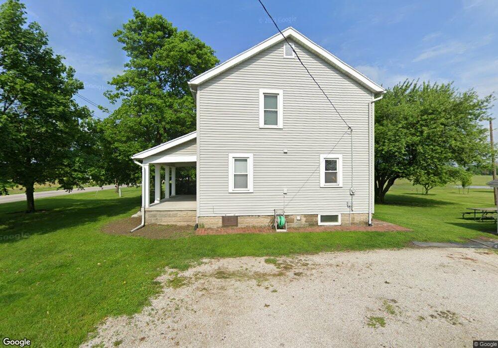
302 Walbridge Rd Walbridge, OH 43465
Estimated Value: $78,000 - $229,260
3
Beds
1
Bath
1,248
Sq Ft
$127/Sq Ft
Est. Value
About This Home
This home is located at 302 Walbridge Rd, Walbridge, OH 43465 and is currently estimated at $158,087, approximately $126 per square foot. 302 Walbridge Rd is a home with nearby schools including Lake Elementary School, Lake Middle School, and Lake High School.
Ownership History
Date
Name
Owned For
Owner Type
Purchase Details
Closed on
Sep 16, 2021
Sold by
Duris Adam and Duris Family Trust
Bought by
Sunny Pines Llc
Current Estimated Value
Purchase Details
Closed on
Jul 3, 2021
Sold by
Duris Mark E
Bought by
Duris Adam and Duris Family Trust
Purchase Details
Closed on
Jul 2, 2021
Sold by
Duris Mark E
Bought by
Duris Family Trust and Duris
Purchase Details
Closed on
Mar 11, 1992
Bought by
Duris Mark E
Create a Home Valuation Report for This Property
The Home Valuation Report is an in-depth analysis detailing your home's value as well as a comparison with similar homes in the area
Home Values in the Area
Average Home Value in this Area
Purchase History
| Date | Buyer | Sale Price | Title Company |
|---|---|---|---|
| Sunny Pines Llc | -- | None Available | |
| Duris Adam | -- | None Available | |
| Duris Family Trust | -- | None Listed On Document | |
| Duris Family Trust | -- | None Listed On Document | |
| Duris Mark E | $40,000 | -- |
Source: Public Records
Tax History
| Year | Tax Paid | Tax Assessment Tax Assessment Total Assessment is a certain percentage of the fair market value that is determined by local assessors to be the total taxable value of land and additions on the property. | Land | Improvement |
|---|---|---|---|---|
| 2025 | $2,803 | $59,850 | $22,680 | $37,170 |
| 2024 | $2,777 | $59,850 | $22,680 | $37,170 |
| 2023 | $2,777 | $59,850 | $22,680 | $37,170 |
| 2021 | $2,474 | $47,080 | $19,150 | $27,930 |
| 2020 | $2,377 | $47,080 | $19,150 | $27,930 |
| 2019 | $2,305 | $42,040 | $19,150 | $22,890 |
| 2018 | $2,287 | $42,040 | $19,150 | $22,890 |
| 2017 | $2,089 | $42,040 | $19,150 | $22,890 |
| 2016 | $1,835 | $34,690 | $16,560 | $18,130 |
| 2015 | $1,835 | $34,690 | $16,560 | $18,130 |
| 2014 | $1,939 | $34,690 | $16,560 | $18,130 |
| 2013 | $2,251 | $38,570 | $18,410 | $20,160 |
Source: Public Records
Map
Nearby Homes
- 100 W Union St
- 504 N Main St
- 225 E Union St
- 30643 Drouillard Rd
- Integrity 1750 Plan at Meadowgate
- Integrity 1530 Plan at Meadowgate
- Integrity 1605 Plan at Meadowgate
- integrity 2280 Plan at Meadowgate
- Integrity 2061 V8.1a Plan at Meadowgate
- Integrity 2080 Plan at Meadowgate
- Integrity 1830 Plan at Meadowgate
- Integrity 1910 Plan at Meadowgate
- Integrity 2060 Plan at Meadowgate
- Integrity 2000 Plan at Meadowgate
- Integrity 1880 Plan at Meadowgate
- Integrity 1250 Plan at Meadowgate
- Integrity 2190 Plan at Meadowgate
- 238 S Bridge Rd
- 236 S Bridge Rd
- 224 S Bridge Rd
- 250 W Union St
- 250 W Union St
- 248 W Union St
- 245 W Perry St
- 246 W Union St
- 243 W Perry St
- 248 W Perry St
- 248 W Perry St
- 242 W Perry St
- 244 W Perry St
- 238 W Union St
- 236 W Union St
- 0 Ross St
- 232 W Union St
- 3365 Walbridge Rd
- 5387 Walbridge Rd
- 5401 Walbridge Rd
- 5445 Walbridge Rd
- 5487 Walbridge Rd
- 203 W Union St
Your Personal Tour Guide
Ask me questions while you tour the home.