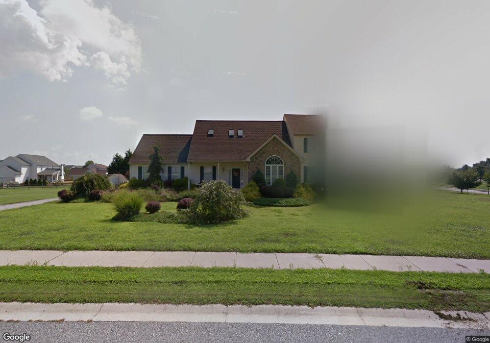
302 Wheatsheaf Dr New Castle, DE 19720
Kirkwood NeighborhoodEstimated Value: $603,000 - $670,000
About This Home
This home is located at 302 Wheatsheaf Dr, New Castle, DE 19720 and is currently estimated at $641,381, approximately $199 per square foot. 302 Wheatsheaf Dr is a home located in New Castle County with nearby schools including Southern Elementary School, Gunning Bedford Middle School, and Aquinas Academy.
Ownership History
We collect this data history from publicly available records. To have your information removed, we recommend requesting removal directly through your county’s website.
Purchase Details
Home Financials for this Owner
Home Financials are based on the most recent Mortgage that was taken out on this home.Home Values in the Area
Average Home Value in this Area
Purchase History
We collect this data history from publicly available records. To have your information removed, we recommend requesting removal directly through your county’s website.
| Date | Buyer | Sale Price | Title Company |
|---|---|---|---|
| $277,402 | -- |
Mortgage History
We collect this data history from publicly available records. To have your information removed, we recommend requesting removal directly through your county’s website.
| Date | Status | Borrower | Loan Amount |
|---|---|---|---|
| Open | $175,000 |
Tax History
We collect this data history from publicly available records. To have your information removed, we recommend requesting removal directly through your county’s website.
| Year | Tax Paid | Tax Assessment Tax Assessment Total Assessment is a certain percentage of the fair market value that is determined by local assessors to be the total taxable value of land and additions on the property. | Land | Improvement |
|---|---|---|---|---|
| 2025 | $3,245 | $536,600 | $115,100 | $421,500 |
| 2024 | $3,889 | $124,400 | $16,200 | $108,200 |
| 2023 | $3,517 | $124,400 | $16,200 | $108,200 |
| 2022 | $3,680 | $124,400 | $16,200 | $108,200 |
| 2021 | $4,178 | $124,400 | $16,200 | $108,200 |
| 2020 | $4,205 | $124,400 | $16,200 | $108,200 |
| 2019 | $4,197 | $124,400 | $16,200 | $108,200 |
| 2018 | $4,138 | $124,400 | $16,200 | $108,200 |
| 2017 | $3,881 | $124,400 | $16,200 | $108,200 |
| 2016 | $3,465 | $124,400 | $16,200 | $108,200 |
| 2015 | $3,466 | $124,400 | $16,200 | $108,200 |
| 2014 | $3,484 | $124,400 | $16,200 | $108,200 |
Map
- 320 Wheatsheaf Dr
- 1024 Matthew Way
- 1030 Matthew Way
- 803 Sylvia Way
- 1036 Matthew Way
- 1119 Casey Dr
- 1103 Casey Dr
- 260 Clarks Corner Rd
- 1223 Caitlin Way
- 1238 Caitlin Way
- 0 Delaware St
- 111 N Main St
- 723 Parkman Dr
- 1010 Powell Ct
- 43 S Main St
- 22 S Main St
- 306 Steller Dr
- 211 Audubon Dr
- 1902 Mccoy Rd
- 2 Gina Dr
- 400 Silo Dr
- 102 W Harvest Dr
- 108 W Harvest Dr
- 301 Wheatsheaf Dr
- 402 Silo Dr
- 100 W Harvest Dr
- 303 Wheatsheaf Dr
- 101 W Harvest Dr
- 110 W Harvest Dr
- 404 Silo Dr
- 201 E Harvest Dr
- 305 Wheatsheaf Dr
- 109 W Harvest Dr
- 112 W Harvest Dr
- 406 Silo Rd
- 406 Silo Dr
- 114 W Harvest Dr
- 200 E Harvest Dr
- 307 Wheatsheaf Dr
- 116 W Harvest Dr
Ask me questions while you tour the home.