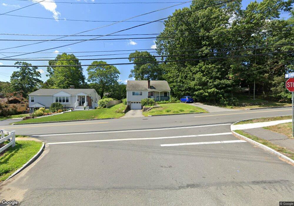
302 William St Stoneham, MA 02180
Lindenwood NeighborhoodEstimated Value: $673,000 - $763,000
4
Beds
2
Baths
1,251
Sq Ft
$581/Sq Ft
Est. Value
About This Home
This home is located at 302 William St, Stoneham, MA 02180 and is currently estimated at $727,285, approximately $581 per square foot. 302 William St is a home located in Middlesex County with nearby schools including Stoneham High School, St. Patrick Elementary School, and Greater Boston Academy.
Ownership History
Date
Name
Owned For
Owner Type
Purchase Details
Closed on
Sep 11, 2024
Sold by
Lyons Ann M
Bought by
Lyons Kevin M and Lyons Jeremiah F
Current Estimated Value
Purchase Details
Closed on
Dec 16, 2009
Sold by
Saporito Gracie
Bought by
Lyons Ann Marie
Home Financials for this Owner
Home Financials are based on the most recent Mortgage that was taken out on this home.
Original Mortgage
$140,000
Interest Rate
5%
Mortgage Type
Purchase Money Mortgage
Purchase Details
Closed on
Jun 15, 2004
Sold by
Cerretani-Carr Diana Jane and Carr William R
Bought by
Saporito Gracie
Home Financials for this Owner
Home Financials are based on the most recent Mortgage that was taken out on this home.
Original Mortgage
$209,000
Interest Rate
5.99%
Mortgage Type
Purchase Money Mortgage
Create a Home Valuation Report for This Property
The Home Valuation Report is an in-depth analysis detailing your home's value as well as a comparison with similar homes in the area
Home Values in the Area
Average Home Value in this Area
Purchase History
| Date | Buyer | Sale Price | Title Company |
|---|---|---|---|
| Lyons Kevin M | -- | None Available | |
| Lyons Kevin M | -- | None Available | |
| Lyons Ann Marie | $345,000 | -- | |
| Saporito Gracie | $369,000 | -- | |
| Lyons Ann Marie | $345,000 | -- | |
| Saporito Gracie | $369,000 | -- |
Source: Public Records
Mortgage History
| Date | Status | Borrower | Loan Amount |
|---|---|---|---|
| Previous Owner | Lyons Ann Marie | $140,000 | |
| Previous Owner | Saporito Gracie | $209,000 |
Source: Public Records
Tax History Compared to Growth
Tax History
| Year | Tax Paid | Tax Assessment Tax Assessment Total Assessment is a certain percentage of the fair market value that is determined by local assessors to be the total taxable value of land and additions on the property. | Land | Improvement |
|---|---|---|---|---|
| 2025 | $5,894 | $576,100 | $364,800 | $211,300 |
| 2024 | $5,704 | $538,600 | $336,000 | $202,600 |
| 2023 | $5,533 | $498,500 | $307,200 | $191,300 |
| 2022 | $4,881 | $468,900 | $288,000 | $180,900 |
| 2021 | $4,854 | $448,600 | $268,800 | $179,800 |
| 2020 | $4,791 | $444,000 | $266,600 | $177,400 |
| 2019 | $4,895 | $436,300 | $251,700 | $184,600 |
| 2018 | $4,543 | $388,000 | $215,300 | $172,700 |
| 2017 | $4,422 | $356,900 | $215,300 | $141,600 |
| 2016 | $4,256 | $335,100 | $201,300 | $133,800 |
| 2015 | $4,185 | $322,900 | $201,300 | $121,600 |
| 2014 | $4,210 | $312,100 | $191,900 | $120,200 |
Source: Public Records
Map
Nearby Homes
- 20 Oak St
- 405 William St
- 159 Main St Unit 41C
- 12 Cottage St
- 200 Ledgewood Dr Unit 505
- 100 Ledgewood Dr Unit 417
- 100 Ledgewood Dr Unit 618
- 1 Tremont St
- 8 Steele St
- 10 Pomeworth St Unit H
- 97 Oak St
- 21 Tremont St Unit A
- 43 Pomeworth St Unit 44
- 68 Main St Unit 36C
- 17A 17 B Emerson
- 17 Emerson St Unit A
- 62 High St Unit 4
- 62 High St Unit 3
- 62 High St Unit Lot 12
- 62 High St Unit Lot 2