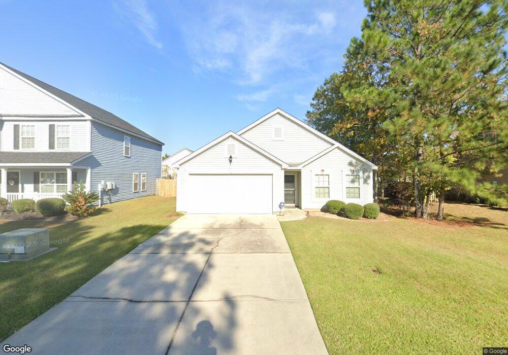
302 Winchester Dr Pooler, GA 31322
Estimated Value: $284,000 - $298,000
3
Beds
2
Baths
1,456
Sq Ft
$199/Sq Ft
Est. Value
About This Home
This home is located at 302 Winchester Dr, Pooler, GA 31322 and is currently estimated at $290,436, approximately $199 per square foot. 302 Winchester Dr is a home located in Chatham County with nearby schools including Groves High School and Savannah Adventist Christian School.
Ownership History
Date
Name
Owned For
Owner Type
Purchase Details
Closed on
Jul 27, 2007
Sold by
Not Provided
Bought by
Reid Tonya W
Current Estimated Value
Home Financials for this Owner
Home Financials are based on the most recent Mortgage that was taken out on this home.
Original Mortgage
$148,107
Outstanding Balance
$93,630
Interest Rate
6.63%
Mortgage Type
VA
Estimated Equity
$196,806
Create a Home Valuation Report for This Property
The Home Valuation Report is an in-depth analysis detailing your home's value as well as a comparison with similar homes in the area
Home Values in the Area
Average Home Value in this Area
Purchase History
| Date | Buyer | Sale Price | Title Company |
|---|---|---|---|
| Reid Tonya W | $145,000 | -- |
Source: Public Records
Mortgage History
| Date | Status | Borrower | Loan Amount |
|---|---|---|---|
| Open | Reid Tonya W | $148,107 |
Source: Public Records
Tax History
| Year | Tax Paid | Tax Assessment Tax Assessment Total Assessment is a certain percentage of the fair market value that is determined by local assessors to be the total taxable value of land and additions on the property. | Land | Improvement |
|---|---|---|---|---|
| 2025 | $3,798 | $100,640 | $24,000 | $76,640 |
| 2024 | $26 | $100,920 | $24,000 | $76,920 |
| 2023 | $2,617 | $81,960 | $10,000 | $71,960 |
| 2022 | $2,261 | $75,000 | $10,000 | $65,000 |
| 2021 | $2,295 | $65,960 | $10,000 | $55,960 |
| 2020 | $2,115 | $64,320 | $10,000 | $54,320 |
| 2019 | $2,115 | $61,880 | $10,000 | $51,880 |
| 2018 | $2,049 | $59,880 | $10,000 | $49,880 |
| 2017 | $1,796 | $56,080 | $10,000 | $46,080 |
| 2016 | $1,776 | $55,360 | $10,000 | $45,360 |
| 2015 | $1,802 | $55,880 | $10,000 | $45,880 |
| 2014 | $2,691 | $56,560 | $0 | $0 |
Source: Public Records
Map
Nearby Homes
- 310 Remington Place
- 227 Benelli Dr
- 215 Benelli Dr
- 127 Benelli Dr
- 157 Tahoe Dr
- 149 Tahoe Dr
- 103 Safari Trail
- 143 Benelli Dr
- 101 Savanna Dr
- 148 Benelli Dr
- 160 Benelli Dr
- 165 Benelli Dr
- 217 Gazelle Ln
- 183 Benelli Dr
- 203 Gazelle Ln
- 201 Gazelle Ln
- 206 Tanzania Trail
- 113 White Dogwood Ln
- 330 Serengeti Blvd
- 150 Como Dr
- 304 Winchester Dr
- 300 Winchester Dr
- 306 Winchester Dr
- 244 Tigers Paw Dr
- 242 Tigers Paw Dr
- 246 Tigers Paw Dr
- 302 Grasslands Dr
- 240 Tigers Paw Dr
- 315 Winchester Dr
- 308 Winchester Dr
- 317 Winchester Dr
- 238 Tigers Paw Dr
- 301 Remington Place
- 304 Grasslands Dr
- 310 Winchester Dr
- 312 Winchester Dr
- 236 Tigers Paw Dr
- 319 Winchester Dr
- 218 Grasslands Dr
- 303 Grasslands Dr
Your Personal Tour Guide
Ask me questions while you tour the home.