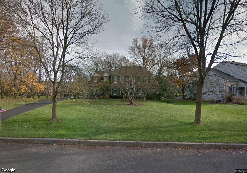
302 Windy Run Rd Doylestown, PA 18901
Estimated Value: $898,000 - $952,000
4
Beds
3
Baths
2,750
Sq Ft
$339/Sq Ft
Est. Value
About This Home
This home is located at 302 Windy Run Rd, Doylestown, PA 18901 and is currently estimated at $932,298, approximately $339 per square foot. 302 Windy Run Rd is a home located in Bucks County with nearby schools including Groveland Elementary School, Tohickon Middle School, and Central Bucks High School-West.
Ownership History
Date
Name
Owned For
Owner Type
Purchase Details
Closed on
Jan 3, 1992
Sold by
Doylestown Chase Inc
Bought by
Bray John Dillon and Brenda Jones
Current Estimated Value
Purchase Details
Closed on
Feb 24, 1989
Bought by
Doylestown Chase Inc
Create a Home Valuation Report for This Property
The Home Valuation Report is an in-depth analysis detailing your home's value as well as a comparison with similar homes in the area
Home Values in the Area
Average Home Value in this Area
Purchase History
| Date | Buyer | Sale Price | Title Company |
|---|---|---|---|
| Bray John Dillon | $290,300 | -- | |
| Doylestown Chase Inc | $3,200,000 | -- |
Source: Public Records
Tax History
| Year | Tax Paid | Tax Assessment Tax Assessment Total Assessment is a certain percentage of the fair market value that is determined by local assessors to be the total taxable value of land and additions on the property. | Land | Improvement |
|---|---|---|---|---|
| 2025 | $11,382 | $64,320 | $11,840 | $52,480 |
| 2024 | $11,382 | $64,320 | $11,840 | $52,480 |
| 2023 | $10,853 | $64,320 | $11,840 | $52,480 |
| 2022 | $10,732 | $64,320 | $11,840 | $52,480 |
| 2021 | $10,511 | $64,320 | $11,840 | $52,480 |
| 2020 | $10,463 | $64,320 | $11,840 | $52,480 |
| 2019 | $10,351 | $64,320 | $11,840 | $52,480 |
| 2018 | $10,319 | $64,320 | $11,840 | $52,480 |
| 2017 | $10,238 | $64,320 | $11,840 | $52,480 |
| 2016 | $10,174 | $64,320 | $11,840 | $52,480 |
| 2015 | -- | $64,320 | $11,840 | $52,480 |
| 2014 | -- | $64,320 | $11,840 | $52,480 |
Source: Public Records
Map
Nearby Homes
- 3622 Alley E
- 3688 Christopher Day Rd
- 3799 Jacob Stout Rd Unit 1
- 3910 Cephas Child Rd Unit 6
- 117 Cottonwood Ct
- 3970 Salome Rd
- 807 N Broad St
- 6 Edison Ln Unit 1
- 12 Pine Valley Rd
- 21 Washington Square Unit 36
- 4215 Ferguson Dr
- 225 Chestnut Valley Dr
- 102 Clear Springs Ct
- 209 Harvey Ave
- 215 N Franklin St
- 4317 Kleinot Dr
- 4464 Kleinot Dr
- 4330 Kleinot Dr
- 4246 Kleinot Dr
- 150 Selner Ln
- 300 Windy Run Rd
- 306 Windy Run Rd
- 117 Windsong Dr
- 308 Windy Run Rd
- 119 Windsong Dr
- 113 Windsong Dr
- 231 Amherst Dr
- 114 Windsong Dr
- 112 Windsong Dr
- 118 Windsong Dr
- 310 Windy Run Rd
- 116 Windsong Dr
- 200 Southwind Dr
- 110 Windsong Dr
- 436 Old Dublin Pike
- 312 Windy Run Rd
- 233 Amherst Dr
- 430 Old Dublin Pike Unit FIRST FLOOR
- 430 Old Dublin Pike
- 232 Amherst Dr Unit 13
Your Personal Tour Guide
Ask me questions while you tour the home.