302 Wyche Rd Weatherford, TX 76085
Estimated Value: $450,000 - $936,000
3
Beds
3
Baths
3,061
Sq Ft
$220/Sq Ft
Est. Value
About This Home
This home is located at 302 Wyche Rd, Weatherford, TX 76085 and is currently estimated at $672,065, approximately $219 per square foot. 302 Wyche Rd is a home located in Parker County with nearby schools including Seguin Elementary School, Tison Middle School, and Weatherford High School.
Ownership History
Date
Name
Owned For
Owner Type
Purchase Details
Closed on
Sep 15, 2010
Sold by
Hightower Carla J and Hightower Earl
Bought by
Wilkins Troy A and Wilkins Lisa J
Current Estimated Value
Home Financials for this Owner
Home Financials are based on the most recent Mortgage that was taken out on this home.
Original Mortgage
$330,000
Outstanding Balance
$218,682
Interest Rate
4.51%
Mortgage Type
New Conventional
Estimated Equity
$453,383
Purchase Details
Closed on
Sep 16, 1981
Bought by
Wilkins Troy A and Wilkins Lisa
Create a Home Valuation Report for This Property
The Home Valuation Report is an in-depth analysis detailing your home's value as well as a comparison with similar homes in the area
Home Values in the Area
Average Home Value in this Area
Purchase History
| Date | Buyer | Sale Price | Title Company |
|---|---|---|---|
| Wilkins Troy A | -- | None Available | |
| Wilkins Troy A | -- | -- |
Source: Public Records
Mortgage History
| Date | Status | Borrower | Loan Amount |
|---|---|---|---|
| Open | Wilkins Troy A | $330,000 |
Source: Public Records
Tax History Compared to Growth
Tax History
| Year | Tax Paid | Tax Assessment Tax Assessment Total Assessment is a certain percentage of the fair market value that is determined by local assessors to be the total taxable value of land and additions on the property. | Land | Improvement |
|---|---|---|---|---|
| 2025 | $6,756 | $514,350 | $75,000 | $439,350 |
| 2024 | $6,756 | $478,335 | -- | -- |
| 2023 | $6,756 | $434,850 | $0 | $0 |
| 2022 | $7,755 | $395,320 | $49,990 | $345,330 |
| 2021 | $8,244 | $389,920 | $49,990 | $339,930 |
| 2020 | $8,093 | $380,260 | $30,000 | $350,260 |
| 2019 | $8,584 | $380,260 | $30,000 | $350,260 |
| 2018 | $7,843 | $344,700 | $16,000 | $328,700 |
| 2017 | $9,619 | $435,500 | $106,800 | $328,700 |
| 2016 | $8,744 | $376,960 | $106,800 | $270,160 |
| 2015 | $7,877 | $376,960 | $106,800 | $270,160 |
| 2014 | $7,422 | $371,930 | $105,600 | $266,330 |
Source: Public Records
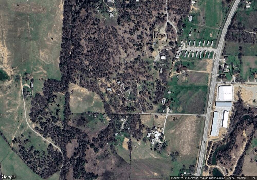
Map
Nearby Homes
- Lot 118 Stonebridge Dr
- Lot 117 Stonebridge Dr
- 161 Cochran Rd
- 368 Green Branch Rd
- 171 Jupiter Trail
- 280 Jupiter Trail
- 300 Jupiter Trail
- 107 W Stagecoach Trail
- 401 Old Agnes Rd
- 104 W Stagecoach Trail
- 509 Hackamore Ct
- 737 Green Branch Rd
- 505 Hackamore Ct
- 619 Latigo Ct
- 229 Latigo Way
- 309 Old Agnes Rd
- 240 Latigo Way
- 283 Latigo Way
- 280/283 Latigo Way
- 612 Latigo Ct