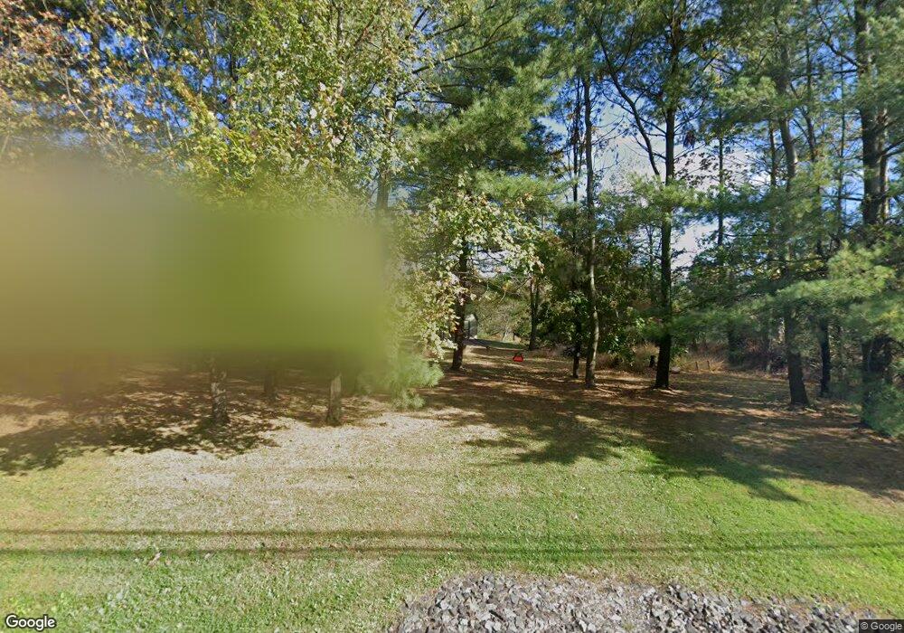
3020 Barndt Rd Telford, PA 18969
Upper Salford Township NeighborhoodEstimated Value: $605,263 - $646,000
4
Beds
2
Baths
2,154
Sq Ft
$292/Sq Ft
Est. Value
About This Home
This home is located at 3020 Barndt Rd, Telford, PA 18969 and is currently estimated at $629,316, approximately $292 per square foot. 3020 Barndt Rd is a home located in Montgomery County with nearby schools including Salford Hills Elementary School, Indian Valley Middle School, and Souderton Area Senior High School.
Ownership History
Date
Name
Owned For
Owner Type
Purchase Details
Closed on
Jan 4, 2019
Sold by
Sine Daniel A and Sine Susan C
Bought by
Macneill Joshua and Macneill Abigail
Current Estimated Value
Home Financials for this Owner
Home Financials are based on the most recent Mortgage that was taken out on this home.
Original Mortgage
$252,000
Outstanding Balance
$222,007
Interest Rate
4.7%
Mortgage Type
New Conventional
Estimated Equity
$407,309
Purchase Details
Closed on
Jun 25, 1982
Bought by
Sine Daniel A and Sine Susan C
Create a Home Valuation Report for This Property
The Home Valuation Report is an in-depth analysis detailing your home's value as well as a comparison with similar homes in the area
Home Values in the Area
Average Home Value in this Area
Purchase History
| Date | Buyer | Sale Price | Title Company |
|---|---|---|---|
| Macneill Joshua | -- | None Available | |
| Sine Daniel A | $18,500 | -- |
Source: Public Records
Mortgage History
| Date | Status | Borrower | Loan Amount |
|---|---|---|---|
| Open | Macneill Joshua | $252,000 |
Source: Public Records
Tax History Compared to Growth
Tax History
| Year | Tax Paid | Tax Assessment Tax Assessment Total Assessment is a certain percentage of the fair market value that is determined by local assessors to be the total taxable value of land and additions on the property. | Land | Improvement |
|---|---|---|---|---|
| 2025 | $8,142 | $206,600 | $75,860 | $130,740 |
| 2024 | $8,142 | $206,600 | $75,860 | $130,740 |
| 2023 | $7,762 | $206,600 | $75,860 | $130,740 |
| 2022 | $7,520 | $206,600 | $75,860 | $130,740 |
| 2021 | $7,405 | $206,600 | $75,860 | $130,740 |
| 2020 | $7,313 | $206,600 | $75,860 | $130,740 |
| 2019 | $7,225 | $206,600 | $75,860 | $130,740 |
| 2018 | $7,226 | $206,600 | $75,860 | $130,740 |
| 2017 | $7,051 | $206,600 | $75,860 | $130,740 |
| 2016 | $6,971 | $206,600 | $75,860 | $130,740 |
| 2015 | $6,857 | $206,600 | $75,860 | $130,740 |
| 2014 | $6,857 | $206,600 | $75,860 | $130,740 |
Source: Public Records
Map
Nearby Homes
- 1323 Old Sumneytown Pike
- 1171 Old Sumneytown Pike
- 2359 Hendricks Station Rd
- 2310 Rostkowski Rd
- 1465 Old Skippack Rd
- 1010 Branch Mill Rd
- 3196 Main St
- 2848 Swamp Creek Rd
- 3111 Main St
- 20 Highview Dr
- 3095 Sumneytown Pike
- 2010 Perkiomenville Rd
- 133 Bavington Rd
- 1005 Dorchester Ln
- 224 Orchard Ln
- 1466 Schwenksville Rd
- 5505 Upper Ridge Rd
- 713 Scenic Dr
- 1823 Gravel Pike
- 1715 Gravel Pike
- 2960 Barndt Rd
- 3000 Barndt Rd
- 3026 Barndt Rd
- 2940 Barndt Rd
- 3030 Barndt Rd
- 1533 Sumneytown Pike
- 3040 Barndt Rd
- 1529 Moyer Rd
- 1420 Sumneytown Pike
- 1430 Sumneytown Pike
- 1442 Sumneytown Pike
- 1551 Sumneytown Pike
- 1463 Moyer Rd
- 1501 Moyer Rd
- 1573 Sumneytown Pike
- 1620 Sumneytown Pike
- 1449 Moyer Rd
- 1531 Moyer Rd
- 2989 Thompson Rd
- 1410 Sumneytown Pike
