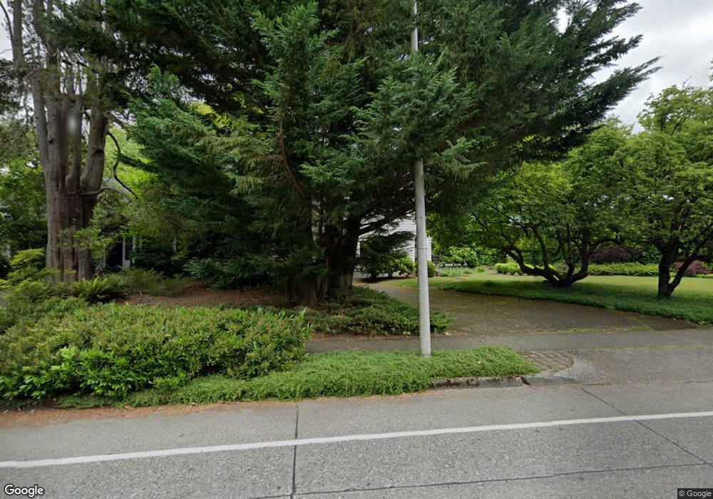
3020 Capitol Blvd S Olympia, WA 98501
Estimated Value: $679,000 - $850,000
3
Beds
2
Baths
2,400
Sq Ft
$306/Sq Ft
Est. Value
About This Home
This home is located at 3020 Capitol Blvd S, Olympia, WA 98501 and is currently estimated at $734,242, approximately $305 per square foot. 3020 Capitol Blvd S is a home located in Thurston County with nearby schools including Pioneer Elementary School, Washington Middle School, and Olympia High School.
Ownership History
Date
Name
Owned For
Owner Type
Purchase Details
Closed on
Jul 27, 2000
Sold by
Dias Bryan K and Dias Lisa D
Bought by
Ruhl Matt J and Ruhl Larissa A
Current Estimated Value
Home Financials for this Owner
Home Financials are based on the most recent Mortgage that was taken out on this home.
Original Mortgage
$191,200
Outstanding Balance
$69,229
Interest Rate
8.2%
Estimated Equity
$665,013
Purchase Details
Closed on
Nov 20, 1997
Sold by
Silver Paul A
Bought by
Dias Bryan K and Dias Lisa D
Home Financials for this Owner
Home Financials are based on the most recent Mortgage that was taken out on this home.
Original Mortgage
$138,000
Interest Rate
7.33%
Purchase Details
Closed on
Nov 5, 1997
Sold by
Morgan Amy L
Bought by
Silver Paul A
Home Financials for this Owner
Home Financials are based on the most recent Mortgage that was taken out on this home.
Original Mortgage
$138,000
Interest Rate
7.33%
Create a Home Valuation Report for This Property
The Home Valuation Report is an in-depth analysis detailing your home's value as well as a comparison with similar homes in the area
Home Values in the Area
Average Home Value in this Area
Purchase History
| Date | Buyer | Sale Price | Title Company |
|---|---|---|---|
| Ruhl Matt J | $239,000 | Thurston County Title Co | |
| Dias Bryan K | $183,000 | First American Title Ins Co | |
| Silver Paul A | -- | Transnation Title Insurance |
Source: Public Records
Mortgage History
| Date | Status | Borrower | Loan Amount |
|---|---|---|---|
| Open | Ruhl Matt J | $191,200 | |
| Previous Owner | Dias Bryan K | $138,000 | |
| Closed | Ruhl Matt J | $35,800 |
Source: Public Records
Tax History Compared to Growth
Tax History
| Year | Tax Paid | Tax Assessment Tax Assessment Total Assessment is a certain percentage of the fair market value that is determined by local assessors to be the total taxable value of land and additions on the property. | Land | Improvement |
|---|---|---|---|---|
| 2024 | $6,597 | $640,800 | $189,900 | $450,900 |
| 2023 | $6,597 | $630,900 | $185,300 | $445,600 |
| 2022 | $6,660 | $661,700 | $164,100 | $497,600 |
| 2021 | $6,400 | $557,600 | $151,600 | $406,000 |
| 2020 | $6,584 | $495,900 | $145,200 | $350,700 |
| 2019 | $5,829 | $497,700 | $127,400 | $370,300 |
| 2018 | $5,922 | $439,800 | $103,400 | $336,400 |
| 2017 | $4,580 | $366,700 | $112,200 | $254,500 |
| 2016 | $4,239 | $345,350 | $97,350 | $248,000 |
| 2014 | -- | $339,050 | $101,650 | $237,400 |
Source: Public Records
Map
Nearby Homes
- 532 Eskridge Way SE
- 3225 Maringo Rd SE
- 3242 Maringo Rd SE
- 2501 Otis St SE
- 510 North St SE
- 2117 Adams St SE
- 509 Bates St SE
- 1304 Eskridge Blvd SE
- 3509 Hawthorne Place SE
- 509 N 3rd Ave SW
- 311 19th Ave SE
- 2937 Lybarger St SE
- 518-520 18th Ave SE
- 121 S 2nd Ave SW
- 415 Maple Park Ave SE
- 203 17th Ave SW
- 732 Desoto St SW
- 722 Desoto St SW
- 633 Division St SW
- 303 N 6th Ave SW
- 3010 Capitol Blvd S
- 3030 Capitol Blvd S
- 428 Carlyon Ave SE
- 505 Governor Stevens Ave SE
- 420 Carlyon Ave SE
- 504 Carlyon Ave SE
- 416 Carlyon Ave SE
- 525 Governor Stevens Ave SE
- 438 Carlyon Ave SE
- 508 Carlyon Ave SE
- 527 Governor Stevens Ave SE
- 3015 Maringo Rd SE
- 3025 Maringo Rd SE
- 2934 Capitol Blvd S
- 0 Capitol Blvd SE Unit NWM33162996
- 0 Capitol Blvd SE Unit 1895088
- 531 Governor Stevens Ave SE
- 520 Governor Stevens Ave SE
- 431 Carlyon Ave SE
- 425 Carlyon Ave SE
