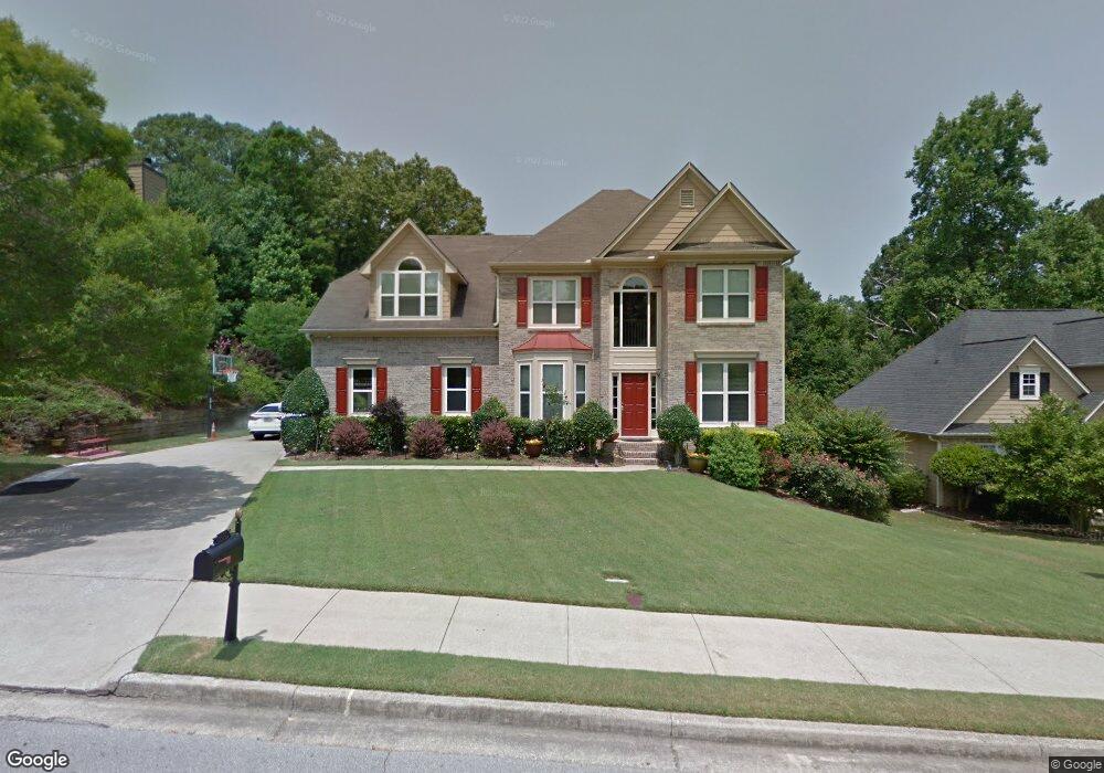
3020 Goldmist Dr Unit 1 Buford, GA 30519
Estimated Value: $440,000 - $521,000
4
Beds
3
Baths
2,386
Sq Ft
$194/Sq Ft
Est. Value
About This Home
This home is located at 3020 Goldmist Dr Unit 1, Buford, GA 30519 and is currently estimated at $463,126, approximately $194 per square foot. 3020 Goldmist Dr Unit 1 is a home located in Gwinnett County with nearby schools including Harmony Elementary School and Glenn C. Jones Middle School.
Ownership History
Date
Name
Owned For
Owner Type
Purchase Details
Closed on
Feb 21, 2000
Sold by
Northstar Homes Llc
Bought by
Patel Ramesh B and Patel Rita R
Current Estimated Value
Home Financials for this Owner
Home Financials are based on the most recent Mortgage that was taken out on this home.
Original Mortgage
$161,250
Outstanding Balance
$53,811
Interest Rate
8.29%
Mortgage Type
New Conventional
Estimated Equity
$409,315
Create a Home Valuation Report for This Property
The Home Valuation Report is an in-depth analysis detailing your home's value as well as a comparison with similar homes in the area
Home Values in the Area
Average Home Value in this Area
Purchase History
| Date | Buyer | Sale Price | Title Company |
|---|---|---|---|
| Patel Ramesh B | $201,700 | -- |
Source: Public Records
Mortgage History
| Date | Status | Borrower | Loan Amount |
|---|---|---|---|
| Open | Patel Ramesh B | $161,250 |
Source: Public Records
Tax History Compared to Growth
Tax History
| Year | Tax Paid | Tax Assessment Tax Assessment Total Assessment is a certain percentage of the fair market value that is determined by local assessors to be the total taxable value of land and additions on the property. | Land | Improvement |
|---|---|---|---|---|
| 2024 | $5,265 | $190,720 | $34,000 | $156,720 |
| 2023 | $5,265 | $190,720 | $34,000 | $156,720 |
| 2022 | $4,527 | $156,480 | $29,200 | $127,280 |
| 2021 | $3,826 | $119,680 | $22,800 | $96,880 |
| 2020 | $3,853 | $119,680 | $22,800 | $96,880 |
| 2019 | $3,751 | $119,680 | $22,800 | $96,880 |
| 2018 | $3,511 | $108,360 | $20,000 | $88,360 |
| 2016 | $3,233 | $94,560 | $18,000 | $76,560 |
| 2015 | $3,081 | $86,240 | $16,000 | $70,240 |
| 2014 | -- | $86,240 | $16,000 | $70,240 |
Source: Public Records
Map
Nearby Homes
- 3200 Golden Spring Dr
- 3210 Golden Spring Dr Unit 1
- 3125 Bart Johnson Rd
- 3606 Andover Way
- 3075 Andover Trail
- 3421 Andover Way
- 3501 Bogan Mill Rd
- 3501 Bogan Mill Rd NE
- 3320 Goldmist Dr
- 3931 Bogan Mill Rd
- 4165 Bradford Walk Trail
- 3600 Bogan Mill Rd
- 3596 Bendleton Dr
- 3939 Bessemer Dr Unit 2
- 3238 Leyden Ct
- 3170 Tallulah Dr
- 3308 Hinsdale Ln Unit 2
- 3555 Rivers End Place Unit I
- 3030 Goldmist Dr Unit 1
- 3010 Goldmist Dr Unit 1
- 3000 Goldmist Dr Unit 1
- 3015 Goldmist Dr
- 3035 Goldmist Dr
- 3040 Goldmist Dr
- 3005 Goldmist Dr Unit 1
- 3045 Goldmist Dr
- 3636 Golden Ive Dr
- 3626 Golden Ive Dr Unit 1
- 0 Bart Johnson Rd Unit 8006241
- 0 Bart Johnson Rd Unit 7542981
- 0 Bart Johnson Rd Unit 3159086
- 0 Bart Johnson Rd Unit 7075752
- 0 Bart Johnson Rd Unit 9006265
- 0 Bart Johnson Rd Unit 8214323
- 0 Bart Johnson Rd Unit 8639549
- 0 Bart Johnson Rd Unit 8805063
- 0 Bart Johnson Rd
- 3055 Goldmist Dr