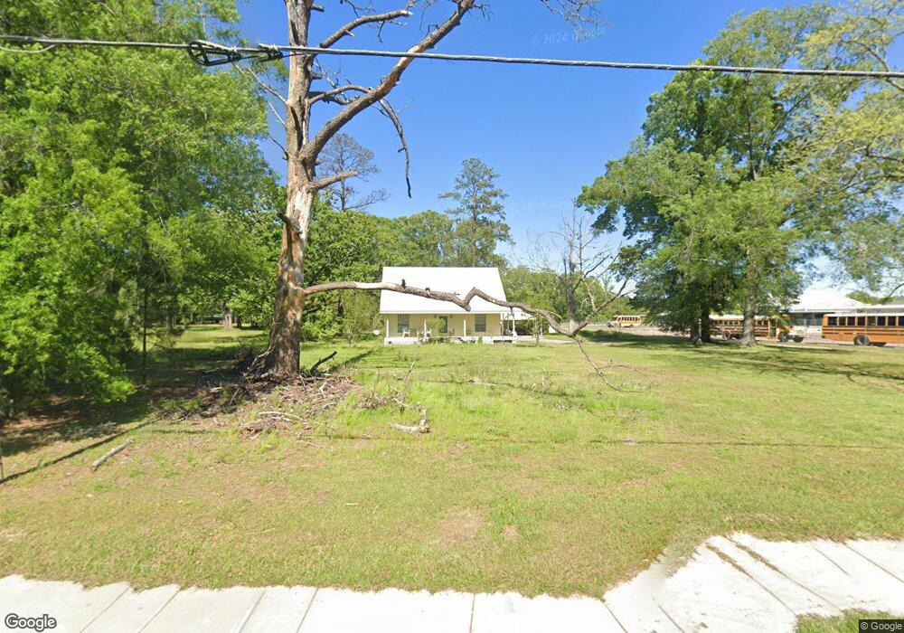
30200 La 441 Hwy Holden, LA 70744
Livingston Parish NeighborhoodEstimated Value: $208,000 - $309,000
3
Beds
3
Baths
1,786
Sq Ft
$137/Sq Ft
Est. Value
About This Home
This home is located at 30200 La 441 Hwy, Holden, LA 70744 and is currently estimated at $245,573, approximately $137 per square foot. 30200 La 441 Hwy is a home located in Livingston Parish with nearby schools including Holden High School.
Ownership History
Date
Name
Owned For
Owner Type
Purchase Details
Closed on
Mar 15, 2024
Sold by
Slifkin Steven David
Bought by
Livingston Parish School Board
Current Estimated Value
Purchase Details
Closed on
Mar 1, 2024
Sold by
Vmk Enterprise and Ponder Land Company
Bought by
Thompson Samantha H
Purchase Details
Closed on
Nov 8, 2012
Sold by
Centanni Penelope Lee
Bought by
Slifkin Steven D and Slifkin Steve D
Home Financials for this Owner
Home Financials are based on the most recent Mortgage that was taken out on this home.
Original Mortgage
$158,163
Interest Rate
3.43%
Mortgage Type
New Conventional
Create a Home Valuation Report for This Property
The Home Valuation Report is an in-depth analysis detailing your home's value as well as a comparison with similar homes in the area
Home Values in the Area
Average Home Value in this Area
Purchase History
| Date | Buyer | Sale Price | Title Company |
|---|---|---|---|
| Livingston Parish School Board | $208,000 | None Listed On Document | |
| Thompson Samantha H | $35,000 | Title Stream | |
| Slifkin Steven D | $175,000 | Title Solutions Services Inc |
Source: Public Records
Mortgage History
| Date | Status | Borrower | Loan Amount |
|---|---|---|---|
| Previous Owner | Slifkin Steven D | $158,163 |
Source: Public Records
Tax History Compared to Growth
Tax History
| Year | Tax Paid | Tax Assessment Tax Assessment Total Assessment is a certain percentage of the fair market value that is determined by local assessors to be the total taxable value of land and additions on the property. | Land | Improvement |
|---|---|---|---|---|
| 2024 | $1,263 | $15,533 | $610 | $14,923 |
| 2023 | $890 | $10,060 | $610 | $9,450 |
| 2022 | $899 | $10,060 | $610 | $9,450 |
| 2021 | $903 | $10,060 | $610 | $9,450 |
| 2020 | $897 | $10,060 | $610 | $9,450 |
| 2019 | $827 | $9,200 | $460 | $8,740 |
| 2018 | $825 | $9,200 | $460 | $8,740 |
| 2017 | $781 | $8,760 | $460 | $8,300 |
| 2015 | $297 | $10,820 | $530 | $10,290 |
| 2014 | $300 | $10,820 | $530 | $10,290 |
Source: Public Records
Map
Nearby Homes
- 35220 Louisiana 441
- TBD Highway 190
- BP-7 Florida Blvd
- TBD M-2 Louisiana 1036
- TBD M-4 Louisiana 1036
- TBD M-1 Louisiana 1036
- TBD M-3 Louisiana 1036
- TBD LOT M-5 Louisiana 1036
- 32793 Louisiana 1036
- 31033 Louisiana 1036
- 0 Hwy 441 Hwy Unit LotWP001 22517993
- 0 Hwy 441 Hwy Unit 2484451
- 28915 La 441 Hwy
- 82 La Hwy 441
- 80 La Hwy 441
- 31645 Tickfaw Acres Rd
- 5 Pete Smith Rd
- 3 Pete Smith Rd
- 4 Pete Smith Rd
- 2 Pete Smith Rd
- 30200 La 441 Hwy
- 30200 Louisiana 441
- 30190 La 441 Hwy
- 33531 Louisiana 441
- BP-1 Louisiana 441
- 5.83 Acres Louisiana 441
- 0 Highway 441 Hwy
- 34930 Louisiana 441
- 35800 Louisiana 441
- 32882 Louisiana 441
- 35990 Louisiana 441
- 32942 Louisiana 441
- 26755 Louisiana 441
- 36111 Louisiana 441
- 36101 Louisiana 441
- 4-E Louisiana 441
- 4-C Louisiana 441
- 4-D Louisiana 441
- 4-B Louisiana 441
- 4 Louisiana 441