30205 State Route W Drexel, MO 64742
Estimated Value: $691,000
3
Beds
1
Bath
2,090
Sq Ft
$331/Sq Ft
Est. Value
About This Home
This home is located at 30205 State Route W, Drexel, MO 64742 and is currently estimated at $691,000, approximately $330 per square foot. 30205 State Route W is a home located in Cass County with nearby schools including Midway Elementary School and Midway High School.
Ownership History
Date
Name
Owned For
Owner Type
Purchase Details
Closed on
Apr 7, 2025
Sold by
Murrow David and Murrow Vicki
Bought by
Janee M Nelson Dehler Revocable Living Trust
Current Estimated Value
Home Financials for this Owner
Home Financials are based on the most recent Mortgage that was taken out on this home.
Original Mortgage
$360,000
Outstanding Balance
$357,201
Interest Rate
6.85%
Mortgage Type
New Conventional
Estimated Equity
$333,799
Purchase Details
Closed on
Sep 12, 2016
Sold by
Northington Robert and Connelly Mark S
Bought by
Murrow David and Murrow Vicki
Home Financials for this Owner
Home Financials are based on the most recent Mortgage that was taken out on this home.
Original Mortgage
$240,000
Interest Rate
3.48%
Mortgage Type
New Conventional
Create a Home Valuation Report for This Property
The Home Valuation Report is an in-depth analysis detailing your home's value as well as a comparison with similar homes in the area
Purchase History
| Date | Buyer | Sale Price | Title Company |
|---|---|---|---|
| Janee M Nelson Dehler Revocable Living Trust | -- | Coffelt Land Title | |
| Janee M Nelson Dehler Revocable Living Trust | -- | Coffelt Land Title | |
| Schloemer Philip | -- | Coffelt Land Title | |
| Murrow David | -- | -- | |
| Murrow David | -- | -- |
Source: Public Records
Mortgage History
| Date | Status | Borrower | Loan Amount |
|---|---|---|---|
| Open | Schloemer Philip | $360,000 | |
| Previous Owner | Murrow David | $240,000 |
Source: Public Records
Tax History
| Year | Tax Paid | Tax Assessment Tax Assessment Total Assessment is a certain percentage of the fair market value that is determined by local assessors to be the total taxable value of land and additions on the property. | Land | Improvement |
|---|---|---|---|---|
| 2025 | $5,308 | $79,930 | $2,460 | $77,470 |
| 2024 | $5,308 | $71,240 | $2,290 | $68,950 |
| 2023 | $5,295 | $71,240 | $2,290 | $68,950 |
| 2022 | $4,544 | $60,670 | $2,290 | $58,380 |
| 2021 | $3,391 | $45,300 | $2,290 | $43,010 |
| 2020 | $3,506 | $46,990 | $2,290 | $44,700 |
| 2019 | $3,461 | $46,990 | $2,290 | $44,700 |
| 2018 | $3,299 | $43,080 | $2,000 | $41,080 |
| 2017 | -- | $43,080 | $2,000 | $41,080 |
| 2016 | $2,811 | $40,780 | $2,000 | $38,780 |
| 2015 | -- | $40,780 | $2,000 | $38,780 |
| 2014 | -- | $40,750 | $1,970 | $38,780 |
| 2013 | -- | $40,750 | $1,970 | $38,780 |
Source: Public Records
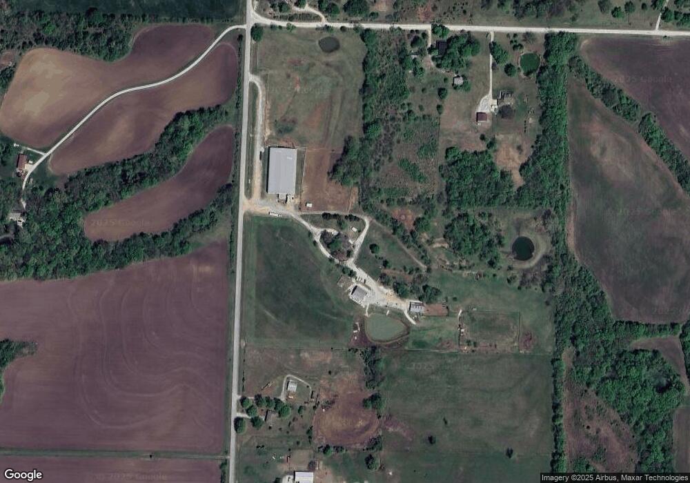
Map
Nearby Homes
- Lot 2 State Route W
- Lot 1 State Route W
- TBD Lot B E 267th St
- TBD Lot D E 269th St
- TBD Lot E E 269th St
- 11503 E State Route 2
- 401 W Main St
- 0 E 295th St
- 13 Cedars St
- 3 Cedars St
- 27219 Missouri 2
- 909 Captain Merriman Dr
- 908 Captain Merriman Dr
- 5600 E Pony Creek Rd
- 16409 E 289th St
- 0 Nelson Rd
- 3308 E 303rd St
- 28414 S State Route Dd
- 29721 S Hess Rd
- 32701 S Dorsett Hill Ln
- 10104 E 301st St
- 30009 State Route W
- 10307 E 301st St
- 30206 State Route W
- 10411 E 301st St
- 29909 State Route W
- 30315 State Route W
- 9607 E State Route W
- 10606 E 301st St
- 30419 State Route W
- 30509 State Route W
- 30515 State Route W
- 30515 State Route W
- 9408 E State Route W
- 29617 Bennett Rd
- 10108 E State Route W
- 10510 E State Route W
- 9112 E State Route W
- 10510 State Hwy W
- 10405 E State Route W
Your Personal Tour Guide
Ask me questions while you tour the home.