3021 Angus Rd SE Tenino, WA 98589
Estimated Value: $476,000 - $604,000
3
Beds
3
Baths
1,660
Sq Ft
$319/Sq Ft
Est. Value
About This Home
This home is located at 3021 Angus Rd SE, Tenino, WA 98589 and is currently estimated at $529,190, approximately $318 per square foot. 3021 Angus Rd SE is a home located in Thurston County with nearby schools including Parkside Elementary School, Tenino Elementary School, and Tenino Middle School.
Ownership History
Date
Name
Owned For
Owner Type
Purchase Details
Closed on
Dec 9, 2013
Sold by
Wood Raymond A
Bought by
Wood Raymond A and Wood Lisa A
Current Estimated Value
Home Financials for this Owner
Home Financials are based on the most recent Mortgage that was taken out on this home.
Original Mortgage
$161,570
Interest Rate
4.04%
Mortgage Type
New Conventional
Create a Home Valuation Report for This Property
The Home Valuation Report is an in-depth analysis detailing your home's value as well as a comparison with similar homes in the area
Home Values in the Area
Average Home Value in this Area
Purchase History
| Date | Buyer | Sale Price | Title Company |
|---|---|---|---|
| Wood Raymond A | -- | Thurston County Title Co |
Source: Public Records
Mortgage History
| Date | Status | Borrower | Loan Amount |
|---|---|---|---|
| Closed | Wood Raymond A | $161,570 |
Source: Public Records
Tax History Compared to Growth
Tax History
| Year | Tax Paid | Tax Assessment Tax Assessment Total Assessment is a certain percentage of the fair market value that is determined by local assessors to be the total taxable value of land and additions on the property. | Land | Improvement |
|---|---|---|---|---|
| 2024 | $3,752 | $424,100 | $157,800 | $266,300 |
| 2023 | $3,752 | $402,300 | $122,900 | $279,400 |
| 2022 | $3,164 | $399,800 | $89,000 | $310,800 |
| 2021 | $2,811 | $320,800 | $98,400 | $222,400 |
| 2020 | $2,416 | $245,300 | $65,700 | $179,600 |
| 2019 | $2,206 | $205,700 | $53,300 | $152,400 |
| 2018 | $2,440 | $194,700 | $46,200 | $148,500 |
| 2017 | $2,353 | $192,150 | $52,250 | $139,900 |
| 2016 | $1,972 | $177,450 | $58,050 | $119,400 |
| 2014 | -- | $169,200 | $55,500 | $113,700 |
Source: Public Records
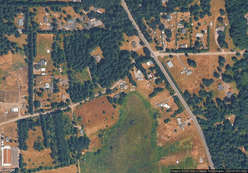
Map
Nearby Homes
- 2810 Angus Rd SE
- 2702 143rd Ave SE
- 12139 Kirstin Ln SE
- The Willow Plan at Mountain Meadows
- The Camden Plan at Mountain Meadows
- The Blossom Plan at Mountain Meadows
- The Laurel Plan at Mountain Meadows
- The Timber Plan at Mountain Meadows
- The Sterling Plan at Mountain Meadows
- The Cascade Plan at Mountain Meadows
- 2024 Lorraine Dr SE
- 5443 Offut Lake Rd SE
- 2625 Mccorkle Rd SE
- 14440 Vantine Rd SE
- 169 Wichman St N
- 81425 VL Undisclosed
- 973 Park Ave E
- 139 Mcarthur St S
- 1497 Old Military Rd SE
- 230 Keithahn St S
- 3024 SE Angus Dr SE
- 3025 Angus Rd SE
- 2945 Angus Rd SE
- 3024 Angus Rd SE
- 3046 Angus Rd SE
- 3046 Angus Rd SE
- 13145 Campbell Ln SE
- 13345 Old Highway 99 SE
- 2904 Angus Rd SE
- 2810 Angus Rd SE
- 13135 Old Highway 99 SE
- 13146 Old Highway 99 SE
- 13144 Old Highway 99 SE
- 2812 Angus Rd SE
- 2808 Angus Rd SE
- 13144 Campbell Ln SE
- 13102 Old Highway 99 SE
- 13141 Campbell Ln SE
- 2744 Angus Rd SE
- 2802 Angus Rd SE