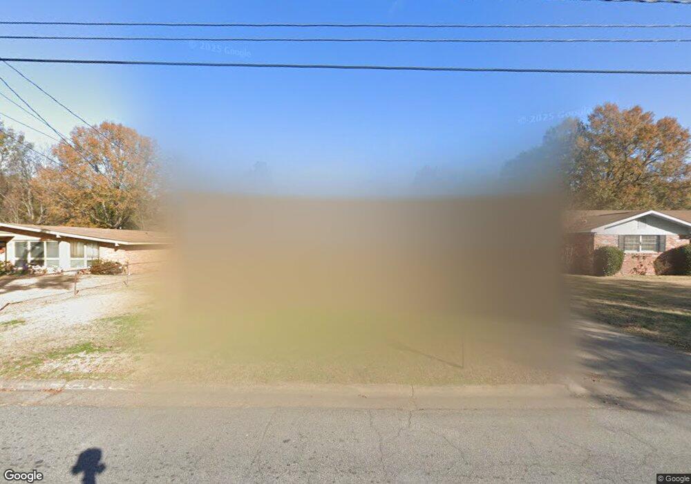
3021 Avondale Rd Columbus, GA 31903
South Columbus NeighborhoodEstimated Value: $128,000 - $155,000
3
Beds
3
Baths
1,668
Sq Ft
$85/Sq Ft
Est. Value
About This Home
This home is located at 3021 Avondale Rd, Columbus, GA 31903 and is currently estimated at $141,475, approximately $84 per square foot. 3021 Avondale Rd is a home located in Muscogee County with nearby schools including South Columbus Elementary School, Eddy Middle School, and Spencer High School.
Ownership History
Date
Name
Owned For
Owner Type
Purchase Details
Closed on
Mar 18, 2013
Sold by
Federal National Mortgage Association
Bought by
Otero Maria E and Otero Heriberto
Current Estimated Value
Purchase Details
Closed on
Dec 4, 2012
Sold by
Citimortgage Inc
Bought by
Federal National Mtg Associati
Purchase Details
Closed on
Feb 13, 2012
Sold by
Colon Melissa
Bought by
Lopez Victor Suarez and Serrano Gloria E
Purchase Details
Closed on
May 1, 2009
Sold by
Lopez Victor Suarez and Serrano Gloria E
Bought by
Colon Melissa
Create a Home Valuation Report for This Property
The Home Valuation Report is an in-depth analysis detailing your home's value as well as a comparison with similar homes in the area
Home Values in the Area
Average Home Value in this Area
Purchase History
| Date | Buyer | Sale Price | Title Company |
|---|---|---|---|
| Otero Maria E | $65,500 | -- | |
| Federal National Mtg Associati | -- | -- | |
| Citimortgage Inc | $84,229 | -- | |
| Lopez Victor Suarez | -- | -- | |
| Colon Melissa | -- | None Available |
Source: Public Records
Tax History
| Year | Tax Paid | Tax Assessment Tax Assessment Total Assessment is a certain percentage of the fair market value that is determined by local assessors to be the total taxable value of land and additions on the property. | Land | Improvement |
|---|---|---|---|---|
| 2025 | $1,699 | $43,404 | $4,252 | $39,152 |
| 2024 | $5,221 | $40,136 | $4,252 | $35,884 |
| 2023 | $1,581 | $40,136 | $4,252 | $35,884 |
| 2022 | $1,347 | $32,988 | $4,252 | $28,736 |
| 2021 | $1,282 | $31,272 | $4,252 | $27,020 |
| 2020 | $1,277 | $31,272 | $4,252 | $27,020 |
| 2019 | $1,281 | $31,272 | $4,252 | $27,020 |
| 2018 | $1,281 | $31,272 | $4,252 | $27,020 |
| 2017 | $1,428 | $31,272 | $4,252 | $27,020 |
| 2016 | $1,284 | $31,121 | $3,450 | $27,671 |
| 2015 | $1,285 | $31,121 | $3,450 | $27,671 |
| 2014 | $1,083 | $26,200 | $3,450 | $22,750 |
| 2013 | -- | $36,794 | $3,450 | $33,344 |
Source: Public Records
Map
Nearby Homes
- 1818 Somerset Ave
- 3433 Marathon Dr
- 2058 Somerset Ave
- 3018 Plantation Rd
- 2102 Somerset Ave
- 3015 Hendrix St
- 3233 Hendrix St
- 2241 Bruce Ave
- 3048 Knox St
- 2940 Blan St
- 3120 Drake St
- 2333 Bruce Ave
- 2339 Manning Ave
- 2343 Manning Ave
- 1120 Calvin Ave
- 1103 Calvin Ave
- 1102 Calvin Ave
- 2404 Bruce Ave
- 1013 Harbison Dr
- 3044 Wise St
- 3017 Avondale Rd
- 3025 Avondale Rd
- 2936 Ramsey Rd
- 2930 Ramsey Rd
- 3013 Avondale Rd
- 3029 Avondale Rd
- 2942 Ramsey Rd
- 2924 Ramsey Rd
- 3022 Avondale Rd
- 3018 Avondale Rd
- 2946 Ramsey Rd
- 3026 Avondale Rd
- 3031 Avondale Rd
- 3009 Avondale Rd
- 2918 Ramsey Rd
- 3014 Avondale Rd
- 3030 Avondale Rd
- 2952 Ramsey Rd
- 3010 Avondale Rd
- 3035 Avondale Rd
Your Personal Tour Guide
Ask me questions while you tour the home.