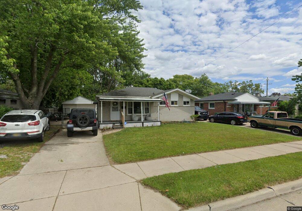
30212 Florence St Garden City, MI 48135
Estimated Value: $211,000 - $227,000
--
Bed
--
Bath
986
Sq Ft
$221/Sq Ft
Est. Value
About This Home
This home is located at 30212 Florence St, Garden City, MI 48135 and is currently estimated at $217,674, approximately $220 per square foot. 30212 Florence St is a home located in Wayne County with nearby schools including Memorial Elementary 1-2 Campus, Douglas Elementary 3-4 Campus, and Farmington 5-6 Campus.
Ownership History
Date
Name
Owned For
Owner Type
Purchase Details
Closed on
Dec 27, 2022
Sold by
Bashawaty Robert J
Bought by
Stone Nicholas and Stratton Morgan
Current Estimated Value
Home Financials for this Owner
Home Financials are based on the most recent Mortgage that was taken out on this home.
Original Mortgage
$181,649
Outstanding Balance
$175,918
Interest Rate
6.49%
Mortgage Type
FHA
Estimated Equity
$41,756
Purchase Details
Closed on
Jul 29, 2022
Sold by
Lentz Dawn M
Bought by
Bashawaty Robert J
Create a Home Valuation Report for This Property
The Home Valuation Report is an in-depth analysis detailing your home's value as well as a comparison with similar homes in the area
Home Values in the Area
Average Home Value in this Area
Purchase History
| Date | Buyer | Sale Price | Title Company |
|---|---|---|---|
| Stone Nicholas | $185,000 | -- | |
| Bashawaty Robert J | $127,000 | -- |
Source: Public Records
Mortgage History
| Date | Status | Borrower | Loan Amount |
|---|---|---|---|
| Open | Stone Nicholas | $181,649 |
Source: Public Records
Tax History Compared to Growth
Tax History
| Year | Tax Paid | Tax Assessment Tax Assessment Total Assessment is a certain percentage of the fair market value that is determined by local assessors to be the total taxable value of land and additions on the property. | Land | Improvement |
|---|---|---|---|---|
| 2025 | $3,983 | $95,300 | $0 | $0 |
| 2024 | $3,983 | $86,100 | $0 | $0 |
| 2023 | $3,820 | $74,800 | $0 | $0 |
| 2022 | $3,320 | $69,100 | $0 | $0 |
| 2021 | $3,472 | $66,800 | $0 | $0 |
| 2020 | $3,469 | $63,100 | $0 | $0 |
| 2019 | $2,722 | $54,900 | $0 | $0 |
| 2018 | $3,296 | $45,200 | $0 | $0 |
| 2017 | $594 | $42,800 | $0 | $0 |
| 2016 | $3,432 | $42,200 | $0 | $0 |
| 2015 | $3,688 | $40,400 | $0 | $0 |
| 2013 | $3,760 | $38,300 | $0 | $0 |
| 2012 | $3,028 | $40,800 | $14,400 | $26,400 |
Source: Public Records
Map
Nearby Homes
- 489 Henry Ruff Rd
- 577 Brandt St
- 30639 Florence St
- 30414 Cherry Hill Rd
- 1125 Brandt St
- 30808 Sheridan St
- 29487 Florence St
- 29578 Brown Ct
- 30901 Cherry Hill Rd
- 30915 Cherry Hill Rd
- 30806 Fernwood St
- 329 Shotka St
- 0000 Brandt St
- 31255 Marquette St
- 30931 Fernwood St
- 29031 Rosslyn Ave
- 30148 John Hauk St
- 30822 Steinhauer St
- 724 Clair St
- 29760 Birchwood St
- 30224 Florence St
- 30160 Florence St
- 30236 Florence St
- 628 Henry Ruff Rd
- 617 Michelle Ct
- 633 Michelle Ct
- 555 W Rose Ave
- 30248 Florence St
- 30235 Florence St
- 643 Michelle Ct
- 556 W Rose Ave
- 535 W Rose Ave
- 556 Henry Ruff Rd
- 653 Michelle Ct
- 652 Henry Ruff Rd
- 616 Michelle Ct
- 30135 Florence St
- 546 Henry Ruff Rd
- 536 W Rose Ave
- 525 W Rose Ave
