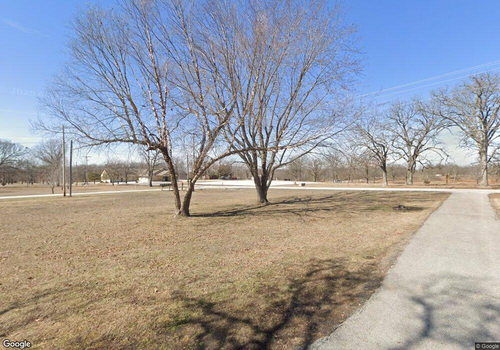
30214 Fir Rd Carl Junction, MO 64834
Estimated Value: $262,189 - $298,000
4
Beds
3
Baths
2,497
Sq Ft
$111/Sq Ft
Est. Value
About This Home
This home is located at 30214 Fir Rd, Carl Junction, MO 64834 and is currently estimated at $276,547, approximately $110 per square foot. 30214 Fir Rd is a home with nearby schools including Carl Junction Primary School (K-1), Carl Junction Intermediate School, and Carl Junction Primary School (2-3).
Ownership History
Date
Name
Owned For
Owner Type
Purchase Details
Closed on
Jun 18, 2025
Sold by
Peter J Kaufmann Ii Revocable Trust and Kaufmann Peter J
Bought by
Kaufmann Peter J and Porter Nicole
Current Estimated Value
Purchase Details
Closed on
May 13, 2021
Sold by
Kaufmann Peter J
Bought by
Peter J Kaufmann 2Nd Ret
Purchase Details
Closed on
Nov 13, 2012
Sold by
Federal Home Loan Mortgage Corporation
Bought by
Kaufmann Peter
Home Financials for this Owner
Home Financials are based on the most recent Mortgage that was taken out on this home.
Original Mortgage
$65,600
Interest Rate
3.42%
Mortgage Type
Future Advance Clause Open End Mortgage
Purchase Details
Closed on
Jul 10, 2012
Sold by
Storm David R and Storm Charla G
Bought by
Federal Home Loan Mortgage Corporation
Create a Home Valuation Report for This Property
The Home Valuation Report is an in-depth analysis detailing your home's value as well as a comparison with similar homes in the area
Home Values in the Area
Average Home Value in this Area
Purchase History
| Date | Buyer | Sale Price | Title Company |
|---|---|---|---|
| Kaufmann Peter J | -- | None Listed On Document | |
| Kaufmann Peter J | -- | None Listed On Document | |
| Peter J Kaufmann 2Nd Ret | -- | None Available | |
| Kaufmann Peter | -- | Stewart Title | |
| Federal Home Loan Mortgage Corporation | $93,340 | None Available |
Source: Public Records
Mortgage History
| Date | Status | Borrower | Loan Amount |
|---|---|---|---|
| Previous Owner | Kaufmann Peter | $65,600 |
Source: Public Records
Tax History Compared to Growth
Tax History
| Year | Tax Paid | Tax Assessment Tax Assessment Total Assessment is a certain percentage of the fair market value that is determined by local assessors to be the total taxable value of land and additions on the property. | Land | Improvement |
|---|---|---|---|---|
| 2025 | $1,209 | $39,580 | $2,810 | $36,770 |
| 2024 | $1,209 | $24,220 | $2,810 | $21,410 |
| 2023 | $1,209 | $24,220 | $2,810 | $21,410 |
| 2022 | $1,273 | $25,340 | $2,810 | $22,530 |
| 2021 | $1,266 | $25,340 | $2,810 | $22,530 |
| 2020 | $1,070 | $21,070 | $2,810 | $18,260 |
| 2019 | $1,015 | $21,070 | $2,810 | $18,260 |
| 2018 | $1,004 | $20,920 | $0 | $0 |
| 2017 | $1,007 | $20,920 | $0 | $0 |
| 2016 | $1,054 | $22,090 | $0 | $0 |
| 2015 | $1,031 | $22,090 | $0 | $0 |
| 2014 | $1,031 | $22,090 | $0 | $0 |
Source: Public Records
Map
Nearby Homes
- 6346 County Lane 292
- 29104 Forest Ln
- 28834 Fir Rd
- 5545 W Fountain Rd
- 7649 County Road 303
- 8350 County Ln Unit 284
- 27750 Green Hills Ln
- 505 W Walton Ave
- 408 W Walton Ave
- 711 Prairie Ln
- Tract 3 Prairie Ln
- Tract 2 Prairie Ln
- Tract 1 Prairie Ln
- Tract 4 Prairie Ln
- 409 W Gault St
- 409 Gault St
- 4570 N Black Cat Rd
- 4750 N Black Cat Rd
- 29865 State Highway Yy
- 114 W Walton Ave
- 30182 Fir Rd
- 30112 Fir Rd
- 30212 Fig Ln
- 5957 County Lane 302
- 5917 County Lane 302
- 30178 Fig Ln Unit 1
- 30142 Fir Rd
- 30162 Fig Ln Unit 1
- 30162 Fig Ln
- 30173 Fir Rd
- 30334 Fir Rd
- 30304 Fir Rd
- 5965 County Road 300
- 6071 County Road 303
- 5837 County Lane 302
- 30364 Fir Rd
- 5820 County Lane 302 Unit 1
- 6070 County Road 304
- 6111 County Road 303
- 30410 Fir Rd
