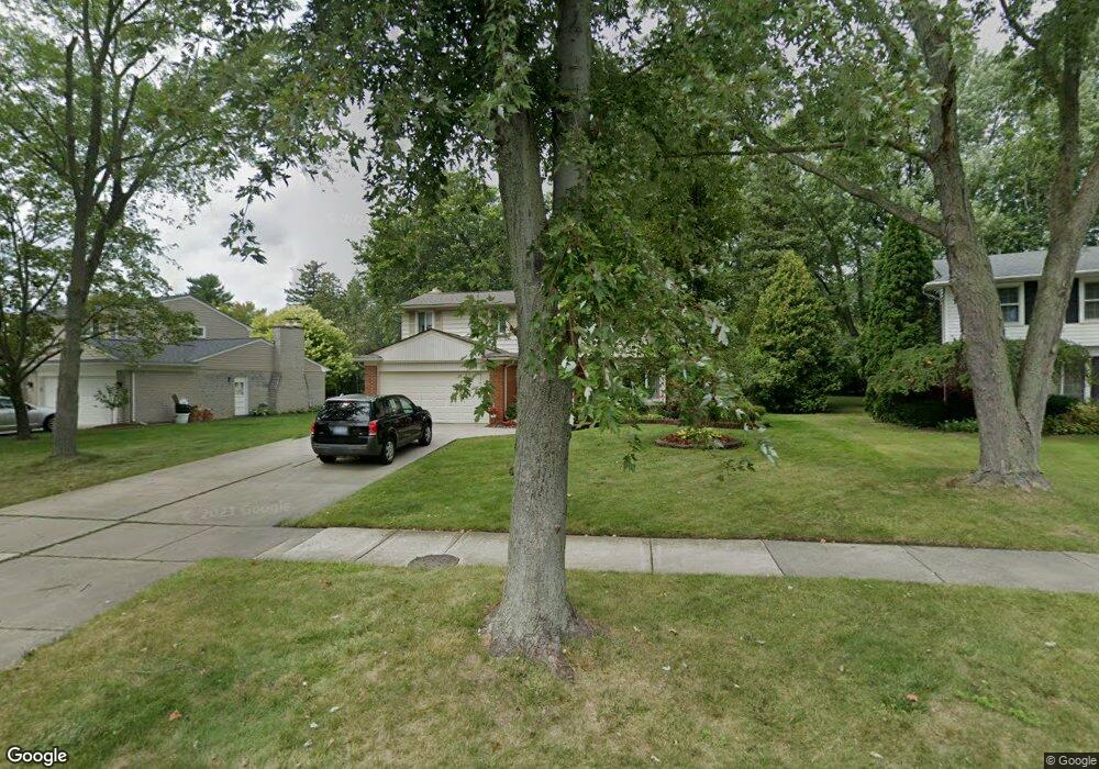
30217 Spring River Dr Southfield, MI 48076
Estimated Value: $365,000 - $408,000
4
Beds
3
Baths
2,050
Sq Ft
$191/Sq Ft
Est. Value
About This Home
This home is located at 30217 Spring River Dr, Southfield, MI 48076 and is currently estimated at $391,211, approximately $190 per square foot. 30217 Spring River Dr is a home located in Oakland County with nearby schools including Wylie E. Groves High School, Greenfield Elementary School, and Berkshire Middle School.
Ownership History
Date
Name
Owned For
Owner Type
Purchase Details
Closed on
Dec 30, 2008
Sold by
Sweat Quintin D and Sweat Krystal Y
Bought by
Jones Alexander Douglas and Jones Nicole J
Current Estimated Value
Home Financials for this Owner
Home Financials are based on the most recent Mortgage that was taken out on this home.
Original Mortgage
$135,761
Outstanding Balance
$85,858
Interest Rate
5.19%
Mortgage Type
FHA
Estimated Equity
$305,353
Purchase Details
Closed on
Sep 30, 2008
Sold by
Wells Fargo Bank Na
Bought by
Federal National Mortgage Association
Purchase Details
Closed on
Aug 16, 2000
Sold by
Macke Stephen J
Bought by
Sweat Quintin D
Home Financials for this Owner
Home Financials are based on the most recent Mortgage that was taken out on this home.
Original Mortgage
$257,397
Interest Rate
8.14%
Mortgage Type
Purchase Money Mortgage
Create a Home Valuation Report for This Property
The Home Valuation Report is an in-depth analysis detailing your home's value as well as a comparison with similar homes in the area
Home Values in the Area
Average Home Value in this Area
Purchase History
| Date | Buyer | Sale Price | Title Company |
|---|---|---|---|
| Jones Alexander Douglas | $136,500 | Metro Hills Title Agency Llc | |
| Federal National Mortgage Association | -- | None Available | |
| Wells Fargo Bank Na | $259,389 | None Available | |
| Sweat Quintin D | $249,900 | -- |
Source: Public Records
Mortgage History
| Date | Status | Borrower | Loan Amount |
|---|---|---|---|
| Open | Jones Alexander Douglas | $135,761 | |
| Previous Owner | Sweat Quintin D | $257,397 |
Source: Public Records
Tax History Compared to Growth
Tax History
| Year | Tax Paid | Tax Assessment Tax Assessment Total Assessment is a certain percentage of the fair market value that is determined by local assessors to be the total taxable value of land and additions on the property. | Land | Improvement |
|---|---|---|---|---|
| 2022 | $3,909 | $152,360 | $23,800 | $128,560 |
| 2021 | $3,858 | $133,700 | $23,800 | $109,900 |
| 2020 | $3,472 | $128,690 | $21,600 | $107,090 |
| 2018 | $3,697 | $103,250 | $21,600 | $81,650 |
| 2015 | -- | $77,410 | $0 | $0 |
| 2014 | -- | $61,470 | $0 | $0 |
| 2011 | -- | $63,890 | $0 | $0 |
Source: Public Records
Map
Nearby Homes
- 19245 Eldridge Ln
- 30301 Spring River Dr
- 30130 Woodgate Dr
- 30560 Northgate Dr
- 31018 Pickwick Ln
- 29743 Chelmsford Rd
- 29807 Spring Hill Dr
- 29662 Westbrook Pkwy
- 29848 Rambling Rd
- 18240 Webster Ave
- 19710 W 13 Mile Rd Unit 111
- 19710 W 13 Mile Rd Unit 105
- 19710 W 13 Mile Rd Unit 201
- 19710 W 13 Mile Rd Unit 108
- 29484 Spring Hill Dr
- 19938 Waltham Rd
- 31462 Waltham Rd
- 31698 Southview St
- 30268 Southfield Rd Unit 229
- 30200 Southfield Rd Unit 204
- 30217 Spring-River Dr
- 30211 Spring-River Dr
- 30223 Spring River Dr
- 30211 Spring River Dr
- 30366 Rock Creek Dr
- 19114 Northgate Dr
- 30376 Rock Creek Dr
- 30346 Rock Creek Dr
- 30229 Spring River Dr
- 30208 Spring River Dr
- 30220 Spring River Dr
- 30326 Rock Creek Dr
- 30241 Spring River Dr
- 30193 Spring River Dr
- 30312 Rock Creek Dr
- 30232 Spring River Dr
- 30398 Rock Creek Dr
- 30243 Spring River Dr
- 30180 Spring River Dr
- 30238 Spring River Dr