3022 Brophy Rd Howell, MI 48855
Estimated Value: $410,451 - $491,000
4
Beds
3
Baths
2,112
Sq Ft
$208/Sq Ft
Est. Value
About This Home
This home is located at 3022 Brophy Rd, Howell, MI 48855 and is currently estimated at $439,863, approximately $208 per square foot. 3022 Brophy Rd is a home located in Livingston County with nearby schools including Ruahmah J. Hutchings Elementary, Highlander Way Middle School, and Howell High School.
Ownership History
Date
Name
Owned For
Owner Type
Purchase Details
Closed on
Oct 9, 2009
Sold by
Wilhelm Diane M and Landau Diane M
Bought by
Stewart Roy W and Stewart Wanda D
Current Estimated Value
Purchase Details
Closed on
Jun 6, 2003
Sold by
Landau Diane Marie and Landau Diane M
Bought by
Landau Diane M
Home Financials for this Owner
Home Financials are based on the most recent Mortgage that was taken out on this home.
Original Mortgage
$89,800
Interest Rate
5.69%
Mortgage Type
Purchase Money Mortgage
Purchase Details
Closed on
Apr 14, 2003
Sold by
Landau Edward Carl
Bought by
Landau Diane Marie
Home Financials for this Owner
Home Financials are based on the most recent Mortgage that was taken out on this home.
Original Mortgage
$89,800
Interest Rate
5.69%
Mortgage Type
Purchase Money Mortgage
Create a Home Valuation Report for This Property
The Home Valuation Report is an in-depth analysis detailing your home's value as well as a comparison with similar homes in the area
Home Values in the Area
Average Home Value in this Area
Purchase History
| Date | Buyer | Sale Price | Title Company |
|---|---|---|---|
| Stewart Roy W | $145,000 | -- | |
| Landau Diane M | -- | -- | |
| Landau Diane Marie | -- | -- |
Source: Public Records
Mortgage History
| Date | Status | Borrower | Loan Amount |
|---|---|---|---|
| Previous Owner | Landau Diane M | $89,800 |
Source: Public Records
Tax History
| Year | Tax Paid | Tax Assessment Tax Assessment Total Assessment is a certain percentage of the fair market value that is determined by local assessors to be the total taxable value of land and additions on the property. | Land | Improvement |
|---|---|---|---|---|
| 2025 | $2,429 | $150,500 | $0 | $0 |
| 2024 | $1,560 | $147,300 | $0 | $0 |
| 2023 | $1,490 | $139,500 | $0 | $0 |
| 2022 | $685 | $114,700 | $0 | $0 |
| 2021 | $2,064 | $119,200 | $0 | $0 |
| 2020 | $3,696 | $114,700 | $0 | $0 |
| 2019 | $3,637 | $107,600 | $0 | $0 |
| 2018 | $3,575 | $102,400 | $0 | $0 |
| 2017 | $3,516 | $99,000 | $0 | $0 |
| 2016 | $3,492 | $93,500 | $0 | $0 |
| 2014 | $1,836 | $81,400 | $0 | $0 |
| 2012 | $1,836 | $79,300 | $0 | $0 |
Source: Public Records
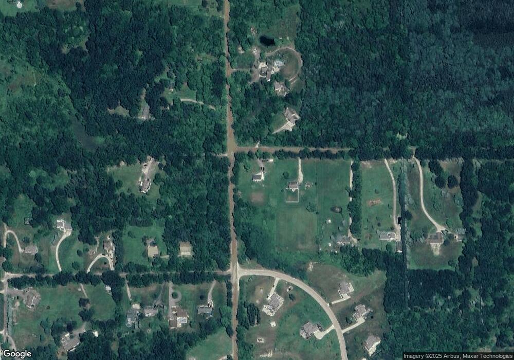
Map
Nearby Homes
- 0 Eager Unit 293099
- 3225 N Latson Rd
- 000 N Latson Rd
- 000 VL N Latson Rd
- 2511 Kerria Dr Unit 42
- 2643 Kerria Dr Unit 65
- 2430 Hickory Circle Dr Unit 103
- 607 Cannonade Loop
- 487 Cannonade Loop
- 559 Cannonade Loop
- 499 Cannonade Loop
- 00 Pineway Trail
- 1570 Princewood Blvd
- 475 Cannonade Loop
- 2525 Fisher Rd
- 571 Cannonade Loop
- 468 Dama View Ct
- 5550 Fisher Rd
- 2206 Moorlands View Unit 32
- 1363 Douglas Fir Dr
- 83 N Eager Rd
- 82 N Eager Rd
- 81 N Eager Rd
- 20 AC V/L N Eager Rd
- 3060 Brophy Rd
- 3003 Brophy Rd
- 9 Sheffield Dr
- LOT 7 Sheffield
- UNIT 11 Sheffield Dr
- 2977 N Eager Rd
- 1 Sheffield Dr
- 2999 N Eager Rd
- LOT 0 Sheffield
- 28 LOT Sheffield
- 3126 Brophy Rd
- 3055 Eager Rd
- 3196 N Eager Rd
- 3038 Sheffield Dr
- 2990 Bogue Creek Dr
- 3080 Sheffield Dr
Your Personal Tour Guide
Ask me questions while you tour the home.