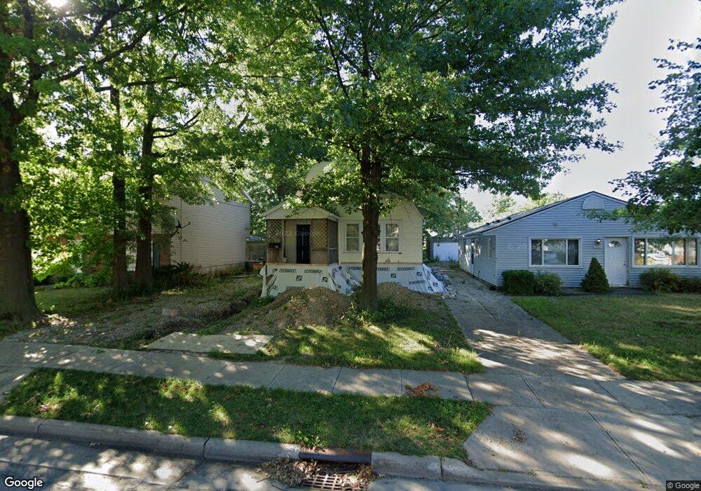
30224 Robert St Wickliffe, OH 44092
Estimated Value: $133,629 - $168,000
2
Beds
1
Bath
704
Sq Ft
$216/Sq Ft
Est. Value
About This Home
This home is located at 30224 Robert St, Wickliffe, OH 44092 and is currently estimated at $152,210, approximately $216 per square foot. 30224 Robert St is a home located in Lake County with nearby schools including Wickliffe Elementary School, Wickliffe Middle School, and Wickliffe High School.
Ownership History
Date
Name
Owned For
Owner Type
Purchase Details
Closed on
Mar 11, 2024
Sold by
Jaszkewicz Michael D and Jaszkewicz Natasha Ria
Bought by
Shackstay Series Alpha Llc 2
Current Estimated Value
Purchase Details
Closed on
Jul 20, 2020
Sold by
Hollbrook Robert
Bought by
Jaszkowicz Michael D
Purchase Details
Closed on
Dec 20, 2010
Sold by
Jaszkewicz Michael D
Bought by
Holbrook Robert
Purchase Details
Closed on
Nov 22, 1965
Bought by
Albus Harold J
Create a Home Valuation Report for This Property
The Home Valuation Report is an in-depth analysis detailing your home's value as well as a comparison with similar homes in the area
Home Values in the Area
Average Home Value in this Area
Purchase History
| Date | Buyer | Sale Price | Title Company |
|---|---|---|---|
| Shackstay Series Alpha Llc 2 | -- | None Listed On Document | |
| Jaszkowicz Michael D | $12,500 | None Available | |
| Holbrook Robert | $8,500 | Attorney | |
| Albus Harold J | -- | -- |
Source: Public Records
Tax History
| Year | Tax Paid | Tax Assessment Tax Assessment Total Assessment is a certain percentage of the fair market value that is determined by local assessors to be the total taxable value of land and additions on the property. | Land | Improvement |
|---|---|---|---|---|
| 2025 | -- | $37,230 | $10,190 | $27,040 |
| 2024 | -- | $37,230 | $10,190 | $27,040 |
| 2023 | $1,583 | $21,780 | $8,680 | $13,100 |
| 2022 | $1,594 | $21,780 | $8,680 | $13,100 |
| 2021 | $1,616 | $21,780 | $8,680 | $13,100 |
| 2020 | $2,679 | $30,980 | $7,120 | $23,860 |
| 2019 | $2,678 | $30,980 | $7,120 | $23,860 |
| 2018 | $2,252 | $30,310 | $11,110 | $19,200 |
| 2017 | $2,185 | $30,310 | $11,110 | $19,200 |
| 2016 | $2,175 | $30,310 | $11,110 | $19,200 |
| 2015 | $2,138 | $30,310 | $11,110 | $19,200 |
| 2014 | $1,889 | $30,310 | $11,110 | $19,200 |
| 2013 | $1,888 | $30,310 | $11,110 | $19,200 |
Source: Public Records
Map
Nearby Homes
- 30224 Regent Rd
- 30243 Truman Ave
- 30116 Barjode Rd
- 30002 Barjode Rd
- 29103 Barjode Rd
- 30335 Euclid Ave Unit 40 and 20
- 30408 Mildred Dr
- 29800 Robert St
- 30325 Mildred Dr
- 31612 Douglas Dr
- 29070 W Willowick Dr
- 882 Bayridge Blvd
- 31705 Daniel Dr
- 1554 Rush Rd
- 28759 Forest Rd
- 1544 Ridgewick Dr
- 34345 Giovanni Ave
- 940 Talmadge Ave
- 845 Charles St
- 29902 Euclid Ave Unit B7
- 30220 Robert St
- 30228 Robert St
- 30216 Robert St
- 30232 Robert St
- 30236 Robert St
- 30211 Truman Ave
- 30219 Truman Ave
- 30203 Truman Ave
- 30240 Robert St
- 30208 Robert St
- 30242 Robert St
- 30231 Robert St
- 30227 Truman Ave
- 30225 Robert St
- 30235 Robert St
- 30217 Robert St
- 30244 Robert St
- 30204 Robert St
- 30235 Truman Ave
- 30213 Robert St
Your Personal Tour Guide
Ask me questions while you tour the home.