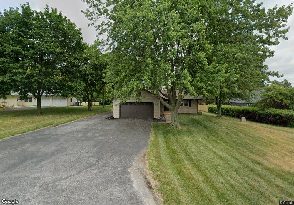
3023 N 350 E Rolling Prairie, IN 46371
Estimated Value: $201,000 - $277,000
2
Beds
2
Baths
1,196
Sq Ft
$208/Sq Ft
Est. Value
About This Home
This home is located at 3023 N 350 E, Rolling Prairie, IN 46371 and is currently estimated at $248,625, approximately $207 per square foot. 3023 N 350 E is a home located in LaPorte County with nearby schools including New Prairie High School and Sacred Heart Apostolic School.
Ownership History
Date
Name
Owned For
Owner Type
Purchase Details
Closed on
May 20, 2020
Sold by
Spiess Tabatha
Bought by
Spiess Tabatha and Spiess John A
Current Estimated Value
Home Financials for this Owner
Home Financials are based on the most recent Mortgage that was taken out on this home.
Original Mortgage
$104,500
Outstanding Balance
$92,602
Interest Rate
3.3%
Mortgage Type
New Conventional
Estimated Equity
$156,024
Purchase Details
Closed on
Jan 6, 2020
Sold by
Lestinsky Travis
Bought by
Spiess Tabatha
Purchase Details
Closed on
Jan 14, 2019
Sold by
Mrozinski Jeffrey L and Mrozinski Mary Anne
Bought by
Lestinsky Travis and Spiess Tabatha
Home Financials for this Owner
Home Financials are based on the most recent Mortgage that was taken out on this home.
Original Mortgage
$66,400
Interest Rate
4.7%
Mortgage Type
New Conventional
Purchase Details
Closed on
Nov 5, 2014
Sold by
Mrozinski Richard J and Mrozinski Lawrence
Bought by
Mrozinski Jeffrey L and Mrozinski Mary Anne
Create a Home Valuation Report for This Property
The Home Valuation Report is an in-depth analysis detailing your home's value as well as a comparison with similar homes in the area
Home Values in the Area
Average Home Value in this Area
Purchase History
| Date | Buyer | Sale Price | Title Company |
|---|---|---|---|
| Spiess Tabatha | -- | None Available | |
| Spiess Tabatha | -- | None Available | |
| Lestinsky Travis | -- | None Available | |
| Mrozinski Jeffrey L | -- | None Available |
Source: Public Records
Mortgage History
| Date | Status | Borrower | Loan Amount |
|---|---|---|---|
| Open | Spiess Tabatha | $104,500 | |
| Previous Owner | Lestinsky Travis | $66,400 |
Source: Public Records
Tax History Compared to Growth
Tax History
| Year | Tax Paid | Tax Assessment Tax Assessment Total Assessment is a certain percentage of the fair market value that is determined by local assessors to be the total taxable value of land and additions on the property. | Land | Improvement |
|---|---|---|---|---|
| 2024 | $1,547 | $168,200 | $23,700 | $144,500 |
| 2023 | $1,468 | $158,400 | $23,700 | $134,700 |
| 2022 | $1,486 | $154,800 | $23,700 | $131,100 |
| 2021 | $1,486 | $144,600 | $23,700 | $120,900 |
| 2020 | $1,692 | $144,600 | $23,700 | $120,900 |
| 2019 | $1,555 | $138,700 | $23,400 | $115,300 |
| 2018 | $1,277 | $126,800 | $21,500 | $105,300 |
| 2017 | $1,320 | $128,700 | $21,500 | $107,200 |
| 2016 | $1,479 | $132,700 | $21,500 | $111,200 |
| 2014 | $954 | $128,400 | $21,500 | $106,900 |
Source: Public Records
Map
Nearby Homes
- 3429 E Sand Ridge Rd
- 2897 N Morning Glory Ave
- 2945 N Morning Glory Ave Unit 73
- 2983 N Morning Glory Ave Unit 72
- 2979 N Morning Glory Ave
- 2893 N Morning Glory Ave
- 2952 N Morning Glory Ave
- 2692 N Morning Glory Ave
- 3202 N 300 E
- 3803 E State Road 2
- 4222 N 400 E
- 109 N Depot St
- 67 Acres E 300 N
- 2088 N 150 E
- 6798 E 350 N
- 2027 N Coachlight Dr
- 4233 N Blueridge Dr
- 5303 E Bootjack Rd
- 4951 N Meadow Ct
- 4271 E 50 N
- 3011 N 350 E
- 2987 N 350 E
- 0-Lot 20 Mulligans Meadow
- 0-Lot 16 Mulligans Meadow
- 3044 N 350 E
- 3002 N 350 E
- 2998 N 350 E
- 3108 N Fairway Ave
- Fairway Av Mulligans Meadow Lt 24 Unit 24
- Fairway Av Mulligans Meadow Lt 23 Unit 23
- Fairway Av Mulligans Meadows Lt 22 Unit 22
- Fairway Av Mulligans Meadows Lt 21 Unit 21
- Fairway Av Mulligans Meadows Lt 19 Unit 19
- Fairway Av Mulligans Meadows Lt 17 Unit 17
- Fairway Av Mulligans Meadow Lt 11
- Fairway Av Mulligans Meadow Lt 12 Unit 12
- Fairway Av Mulligans Meadow Lt 14 Unit 14
- Fairway Av Mulligans Meadow Lt 15 Unit 15
- Fairway Av Mulligans Meadows Lt 16 Unit 16
- Fairway Av Mulligans Meadow Lt 10 Unit 10