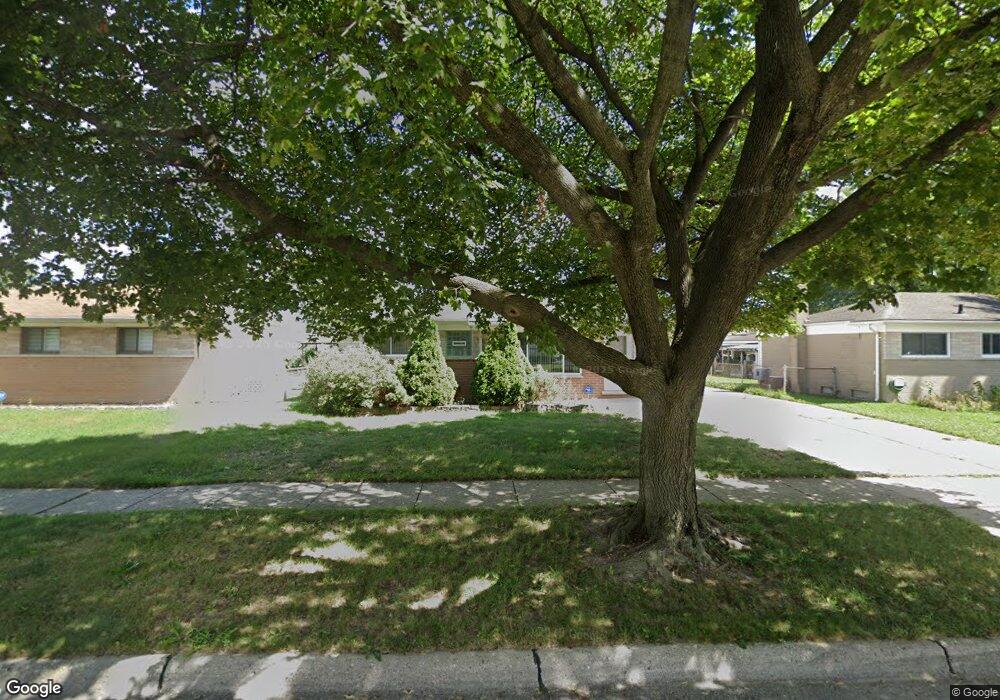
30230 J Carls St Roseville, MI 48066
Estimated Value: $194,000 - $214,000
3
Beds
1
Bath
921
Sq Ft
$220/Sq Ft
Est. Value
About This Home
This home is located at 30230 J Carls St, Roseville, MI 48066 and is currently estimated at $202,648, approximately $220 per square foot. 30230 J Carls St is a home located in Macomb County with nearby schools including Mark Twain Elementary School, Richards Middle School, and Fraser High School.
Ownership History
Date
Name
Owned For
Owner Type
Purchase Details
Closed on
Aug 22, 2023
Sold by
Smith Priscilla B
Bought by
Smith Brion
Current Estimated Value
Home Financials for this Owner
Home Financials are based on the most recent Mortgage that was taken out on this home.
Original Mortgage
$143,010
Outstanding Balance
$139,751
Interest Rate
6.81%
Mortgage Type
VA
Estimated Equity
$62,897
Purchase Details
Closed on
Apr 6, 2021
Sold by
Smith Priscilla B and Smith Noble L
Bought by
Smith Priscilla B and Smith Noble L
Create a Home Valuation Report for This Property
The Home Valuation Report is an in-depth analysis detailing your home's value as well as a comparison with similar homes in the area
Home Values in the Area
Average Home Value in this Area
Purchase History
| Date | Buyer | Sale Price | Title Company |
|---|---|---|---|
| Smith Brion | $140,000 | None Listed On Document | |
| Smith Priscilla B | -- | None Available |
Source: Public Records
Mortgage History
| Date | Status | Borrower | Loan Amount |
|---|---|---|---|
| Open | Smith Brion | $143,010 |
Source: Public Records
Tax History Compared to Growth
Tax History
| Year | Tax Paid | Tax Assessment Tax Assessment Total Assessment is a certain percentage of the fair market value that is determined by local assessors to be the total taxable value of land and additions on the property. | Land | Improvement |
|---|---|---|---|---|
| 2025 | $2,120 | $84,700 | $0 | $0 |
| 2024 | $1,266 | $84,500 | $0 | $0 |
| 2023 | $1,882 | $77,800 | $0 | $0 |
| 2022 | $1,891 | $66,600 | $0 | $0 |
| 2021 | $1,837 | $62,500 | $0 | $0 |
| 2020 | $1,178 | $57,700 | $0 | $0 |
| 2019 | $1,525 | $49,800 | $0 | $0 |
| 2018 | $1,569 | $0 | $0 | $0 |
| 2017 | $1,537 | $37,659 | $8,252 | $29,407 |
| 2016 | $1,525 | $37,659 | $0 | $0 |
| 2015 | $1,091 | $33,317 | $0 | $0 |
| 2013 | -- | $30,669 | $0 | $0 |
| 2011 | -- | $36,206 | $0 | $0 |
Source: Public Records
Map
Nearby Homes
- 15867 Loreto St
- 15797 Common Rd
- 15457 Everly St
- 15469 Grovedale St
- 15225 Common Rd
- 30464 Hayes Rd
- 30644 Hayes Rd
- 30607 Glenwood Cir
- 30540 Garfield St
- 31070 Hayes Rd
- 30324 Glenwood Cir
- 31263 Hayes Rd
- 30673 Hidden Pines Ln
- 29201 Hayes Rd Unit G8
- 15102 Raphael Terrace Unit K67
- 17350 E Pointe Dr
- 29448 El Dorado Plaza
- 31555 Fraser Dr Unit 19
- 29294 E Brittany Ct Unit 39
- 29152 W Brittany Ct
- 30252 J Carls St
- 15871 Dugan St
- 30320 Spybrook St
- 15891 Dugan St
- 15829 Dugan St
- 30334 Spybrook St
- 30233 J Carls St
- 15899 Dugan St
- 30251 J Carls St
- 30263 J Carls St
- 15907 Dugan St
- 30346 Spybrook St
- 30305 Spybrook St
- 30327 Spybrook St
- 15856 Dugan St
- 15848 Dugan St
- 15866 Dugan St
- 30405 J Carls St
- 15915 Dugan St
- 15834 Dugan St